Manning, South Carolina
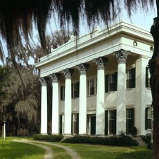
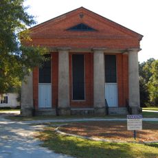
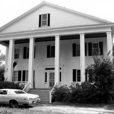
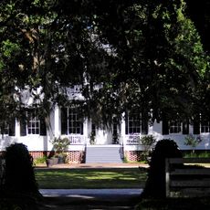
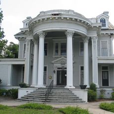
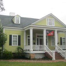
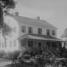
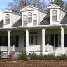
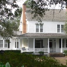
Manning is een kleine stad in South Carolina, gelegen in Clarendon County, gesticht in 1855 als county seat gecentreerd rond het gerechtshof. De straten zijn breed en omzoomd met grote eikenbomen, de gebouwen zijn eenvoudige bakstenen en houten structuren, en de indeling creëert een rustige, ongehaaste sfeer in de hele gemeenschap.
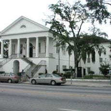
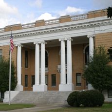
Manning werd in 1855 gesticht als centrale locatie voor het gerechtshof van Clarendon County in een regio die lange tijd voor door het Santee-volk werd bewoond. Tijdens de Amerikaanse Onafhankelijkheidsoorlog voerde generaal Francis Marion, bekend als de Swamp Fox, guerrilla-operaties uit in de omringende moerassen die de Patriotten hielpen onafhankelijkheid te verkrijgen.
Manning werd in 1855 officieel gesticht als centrale locatie voor het gerechtshof van de county, een doel dat zijn vroege identiteit vormde. Vandaag de dag komen bewoners en bezoekers samen bij lokale festivals, ambachtsbeurzen en gemeenschapsgebeurtenissen waar buren voedsel, muziek en verhalen delen die tradities van het Amerikaanse zuiden weerspiegelen.
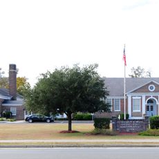
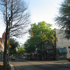
Dit kleine stadje is gemakkelijk bereikbaar met de auto en biedt basisvoorzieningen, waaronder supermarkten, een postkantoor en gezondheidsklinieken die gemakkelijk te vinden zijn langs de brede, duidelijk ingestelde straten. Lopen is praktisch in het stadscentrum, hoewel autorijden de beste manier blijft om de omliggende gebieden te verkennen.
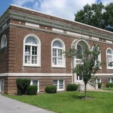
De Old Manning Library, gebouwd in 1908, kenmerkt zich door een ongebruikelijk octogonaal ontwerp met een dramatisch daksraam en is het enige gebouw in de stad dat op het National Register of Historic Places staat. In de buurt van de bibliotheek staat een bronzen standbeeld ter ere van Amelia Bedelia, een personage uit kinderboeken geschreven door Manning-auteur Peggy Parish.
De community van nieuwsgierige reizigers
AroundUs brengt duizenden geselecteerde plaatsen, lokale tips en verborgen pareltjes samen, dagelijks verrijkt door meer dan 60,000 bijdragers wereldwijd.