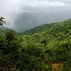
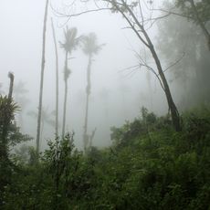
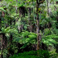
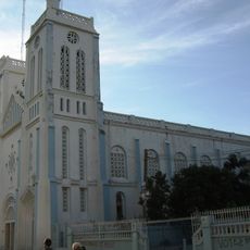
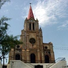
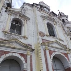
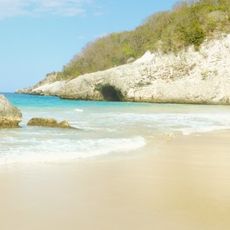
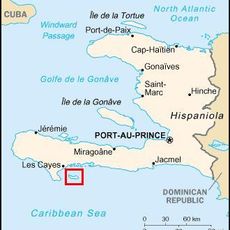
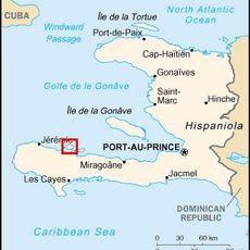
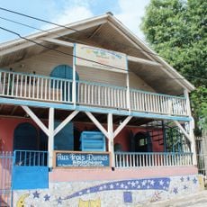
Camp-Perrin, gemeente in Sud (Haïti)
Locatie: Les Cayes Arrondissement
Hoogte boven de zeespiegel: 246 m
GPS-coördinaten: 18.31667,-73.86667
Laatste update: 5 maart 2025 om 09:14
Presidentieel Paleis van Haïti
163.3 km
Le Marron Inconnu
163.4 km
Kathedraal van Port-au-Prince
163.4 km
Haitian National Pantheon Museum
163.5 km
Adlabs Imagica Deep Space
79.5 km
Fort Jacques
169.5 km
Marie-Jeanne cave
25.1 km
Marché en Fer
163 km
Holy Trinity Cathedral, Port-au-Prince
163.4 km
Navassa Island Light
121.4 km
Navassa Island National Wildlife Refuge
121 km
National Library of Haiti
163 km
Saut-Mathurine
14 km
Grand Bois National Park
46.3 km
Deux Mamelles National Park
42.4 km
Grande Colline National Park
26.8 km
Our Lady of the Assumption Cathedral, Les Cayes
18.6 km
Al Fatiha Mosque
164.6 km
Co-Cathedral of St. John the BaptistMiragoâne
83.4 km
Jacmel Cathedral of Saint-Jacques-et-Saint-Philippe
141 km
Anse d'Azur
47.9 km
Pointe du Lamentin Lighthouse
156.1 km
Phare de l'île-à-Vache
41.7 kmPhare de la Pointe Ouest
90.7 km
Grande Cayemite Lighthouse
38.2 kmPointe Fantasque Lighthouse
117.9 km
Jacmel historic center
141.3 km
Bibliothèque aux Trois-Dumas
141.1 kmHeeft u deze plek bezocht? Tik op de sterren om een beoordeling te geven en uw ervaring of foto's te delen met de community! Probeer het nu! U kunt het op elk moment annuleren.
Ontdek verborgen schatten op elk avontuur!
Van karakteristieke kleine cafeetjes tot geheime uitzichtpunten – ontvlucht de drukte en vind plekken die echt bij jou passen. Onze app maakt het makkelijk: spraakzoekopdrachten, slimme filters, geoptimaliseerde routes en authentieke tips van reizigers wereldwijd. Download nu en beleef het avontuur op je smartphone!
Een nieuwe benadering van toeristische ontdekking❞
— Le Figaro
Alle plekken die de moeite waard zijn om te ontdekken❞
— France Info
Een uitstapje op maat in slechts een paar klikken❞
— 20 Minutes