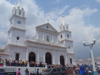
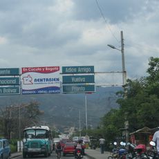
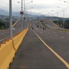
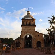
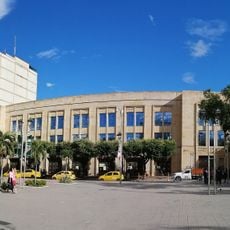
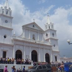
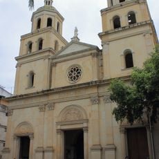
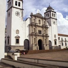
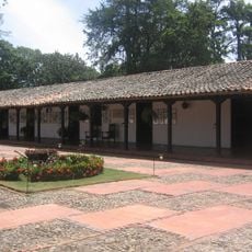
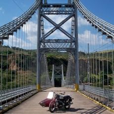
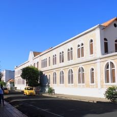
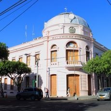
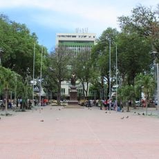
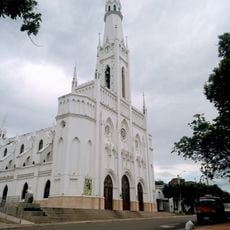
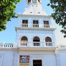
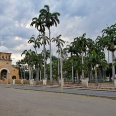
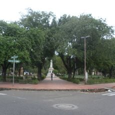
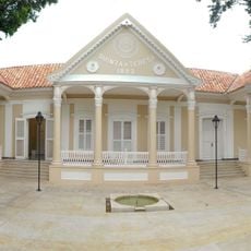
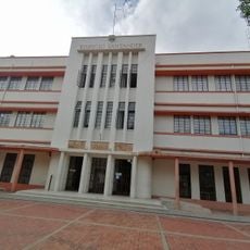
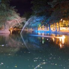
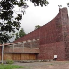
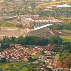
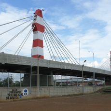
Táriba, stad in Venezuela
Locatie: Municipio Cárdenas
Ontstaan: 1602
Hoogte boven de zeespiegel: 860 m
GPS-coördinaten: 7.81667,-72.21667
Laatste update: 14 maart 2025 om 22:46
Simón Bolívar International Bridge
25.8 km
Estadio Polideportivo de Pueblo Nuevo
3.9 km
Atanasio Girardot International Bridge
26.8 km
Chorro El Indio National Park
8.4 km
El Tamá National Park
30.9 km
Francisco de Paula Santander International Bridge
29.3 km
General Juan Pablo Peñaloza National Park
34.8 km
Historic church of Cúcuta
27.2 km
Cúcuta City Hall
32.6 km
Basilica of Our Lady of Consolation, Táriba
1.1 km
Cathedral of Cúcuta
32.6 km
Cathedral of St. Christopher
6.1 km
House of Santander
27.1 km
Puente Libertador
1.8 km
Julio Pérez Ferrero Public Library
32.1 km
Gobernación de Norte de Santander
32.4 km
Parque del Agua (Ecoparque Cúcuta)
31.8 km
Santander Park
32.7 km
Saint Louis church in Cúcuta
30.6 km
Torre del Reloj, Cúcuta
32.3 km
Park of the Greater Colombia
27.2 km
La Victoria Park, Cúcuta
32.3 km
Quinta Teresa, Cúcuta
32.3 km
Edificio Santander, Cúcuta
32.5 km
Ecoparque Comfanorte
31.8 km
Iglesia del Divino Redentor
6.9 km
San Cristóbal Velodrome
3.2 km
Intercambiador Atalaya
34.7 kmBeoordelingen
Heeft u deze plek bezocht? Tik op de sterren om een beoordeling te geven en uw ervaring of foto's te delen met de community! Probeer het nu! U kunt het op elk moment annuleren.
Ontdek verborgen schatten op elk avontuur!
Van karakteristieke kleine cafeetjes tot geheime uitzichtpunten – ontvlucht de drukte en vind plekken die echt bij jou passen. Onze app maakt het makkelijk: spraakzoekopdrachten, slimme filters, geoptimaliseerde routes en authentieke tips van reizigers wereldwijd. Download nu en beleef het avontuur op je smartphone!
Een nieuwe benadering van toeristische ontdekking❞
— Le Figaro
Alle plekken die de moeite waard zijn om te ontdekken❞
— France Info
Een uitstapje op maat in slechts een paar klikken❞
— 20 Minutes