Cachoeira Iauti, Wasserfall in Brasilien
Locatie: Amazonas
Hoogte boven de zeespiegel: 168 m
GPS-coördinaten: 1.25167,-69.54444
Laatste update: 28 augustus 2025 om 07:40

Serranía de la Macarena
492.1 km
Pico da Neblina
396.7 km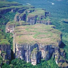
Chiribiquete National Park
368.1 km
Autana
463.8 km
The Hub on Causeway
209.4 km
Piedra del Cocuy
303.1 km
Pico da Neblina National Park
414 km
Pico 31 de Março
396.9 km
Serranía La Neblina National Park
391.7 km
Piedra del Cocuy Natural Monument
303.1 km
Yaigojé-Apaporis National Park
231.8 km
Nationaal park Yacapana
408.9 km
Chiribiquete's rock shelters
358.1 km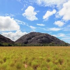
Piedra La Tortuga Natural Monument
526.9 km
Cerro Duida
493.9 km
Morro dos Seis Lagos Biological Reserve
334 km
Forte de São José de Marabitanas
303.5 km
Cué-cué/Marabitanas Indigenous Territory
299.5 km
Auatí-Paraná Extractive Reserve
515.2 km
Cerros Vinilla y Aratitiyope Natural Monument
461.3 km
Cuao-Sipapo y Moriche Massif Natural Monument
486.5 km
Monumento Natural Cerro Autana
463.8 km
Sipapo Forest Reserve
525.1 km
Sierra Unturan Natural Monument
461.3 km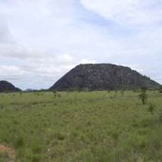
Piedra Pintada Natural Monument
526.2 km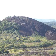
Piedra La Tortuga
526.9 km
Jardín Botánico de La Macarena
483.4 km
Heeft u deze plek bezocht? Tik op de sterren om een beoordeling te geven en uw ervaring of foto's te delen met de community! Probeer het nu! U kunt het op elk moment annuleren.
Ontdek verborgen schatten op elk avontuur!
Van karakteristieke kleine cafeetjes tot geheime uitzichtpunten – ontvlucht de drukte en vind plekken die echt bij jou passen. Onze app maakt het makkelijk: spraakzoekopdrachten, slimme filters, geoptimaliseerde routes en authentieke tips van reizigers wereldwijd. Download nu en beleef het avontuur op je smartphone!

Een nieuwe benadering van toeristische ontdekking❞
— Le Figaro
Alle plekken die de moeite waard zijn om te ontdekken❞
— France Info
Een uitstapje op maat in slechts een paar klikken❞
— 20 Minutes