
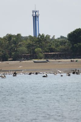
Range Rear Ocos Lighthouse, lighthouse in Guatemala
Locatie: Ocos
Hoogte: 24 m
GPS-coördinaten: 14.53297,-92.21939
Laatste update: 8 maart 2025 om 04:13
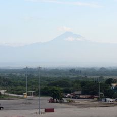
Tacaná
67.8 km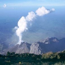
Santa María
76.1 km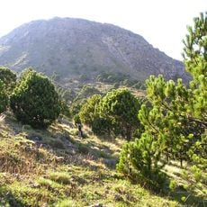
Tajumulco
66.2 km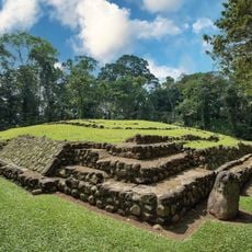
Takalik Abaj
53.6 km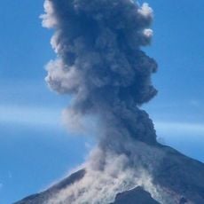
Santiaguito
73.8 km
Almolonga
80.7 km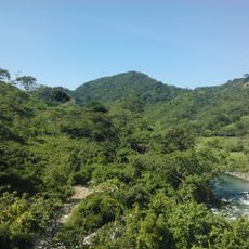
La Encrucijada
70.5 km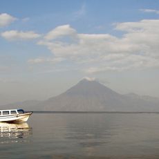
Volcán San Pedro
103.7 km
Xetulul
65.8 km
Quetzaltenango Municipal Theatre
82.7 km
Chicabal
67 km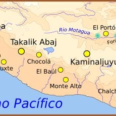
Chocolá
85.9 km
Estadio Mario Camposeco
83.1 km
Holy Spirit Cathedral, Quetzaltenango
82.4 km
Quetzaltenango Guatemala Temple
81 km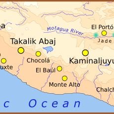
Ujuxte
19.8 km
Chapel of the Conqueress of the Immaculate Conception
90.6 km
Shelter of Jesus the Good Shepherd for the Poor and Migrant
39.2 km
Minerva
81.7 km
Santa María Hydroelectric Dam
87.6 km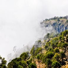
Volcán Tacaná Biosphere Reserve
61.6 km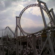
Avalancha
65.7 km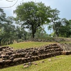
Takalik Abaj
53.8 km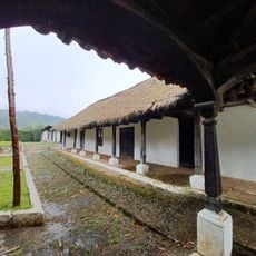
House of Justo Rufino Barrios
76 km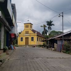
Chocolá, Suchitepéquez, Iglesia Católica
86.2 km
Fuentes Georginas Restaurant
83.2 km
Río Agua Zarca
86 km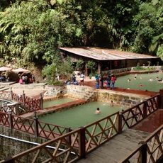
Fuentes Georginas
83.1 kmBeoordelingen
Heeft u deze plek bezocht? Tik op de sterren om een beoordeling te geven en uw ervaring of foto's te delen met de community! Probeer het nu! U kunt het op elk moment annuleren.
Ontdek verborgen schatten op elk avontuur!
Van karakteristieke kleine cafeetjes tot geheime uitzichtpunten – ontvlucht de drukte en vind plekken die echt bij jou passen. Onze app maakt het makkelijk: spraakzoekopdrachten, slimme filters, geoptimaliseerde routes en authentieke tips van reizigers wereldwijd. Download nu en beleef het avontuur op je smartphone!

Een nieuwe benadering van toeristische ontdekking❞
— Le Figaro
Alle plekken die de moeite waard zijn om te ontdekken❞
— France Info
Een uitstapje op maat in slechts een paar klikken❞
— 20 Minutes