
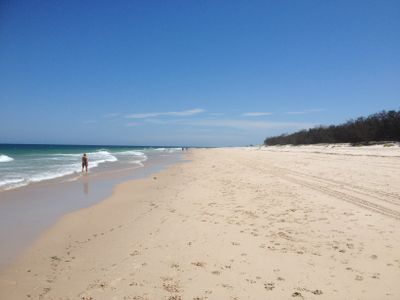
Woorim, suburb of Moreton Bay, Queensland, Australia
Locatie: City of Moreton Bay
GPS-coördinaten: -27.06997,153.20334
Laatste update: 6 juni 2025 om 08:53
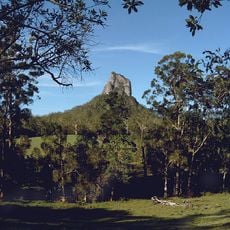
Glass House Mountains National Park
31 km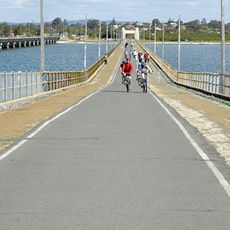
Hornibrook Bridge
26.9 km
Ted Smout Memorial Bridge
26.8 km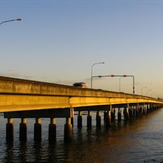
Houghton Highway
26.8 km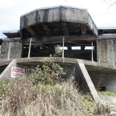
Bribie Island Second World War Fortifications
24.3 km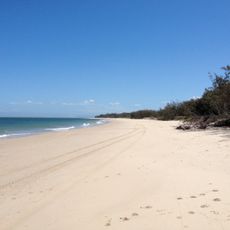
Bribie Island National Park
23.8 km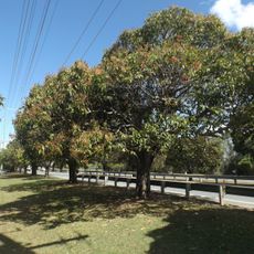
Anzac Avenue
19.9 km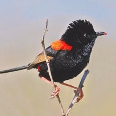
Freshwater National Park
24.1 km
Deception Bay Sea Baths
21.1 km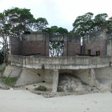
Fort Cowan Cowan
17.2 km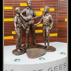
Statue of Bee Gees
19.6 km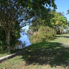
Tripcony Hibiscus Caravan Park
30.5 km
Morayfield Plantation
20.4 km
Comino's Arcade
19.6 km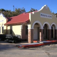
Kings Beach Bathing Pavilion
30.3 km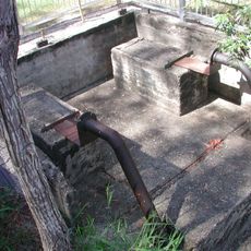
Lagoon Creek Pumping Station
24.7 km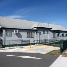
Woody Point Memorial Hall
23.3 km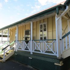
Morayfield State School
25.7 km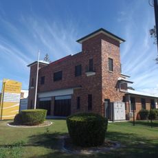
Redcliffe Fire Station
20.7 km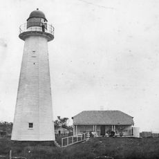
Cowan Cowan Point Light
17.5 km
Anzac Avenue Memorial Trees
27.3 km
Oaklands Sugar Mill
22.9 km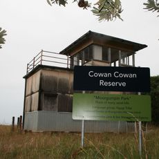
Signal Station
17.2 km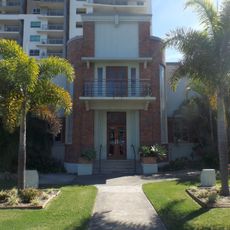
Redcliffe Town Council Chambers
19.4 km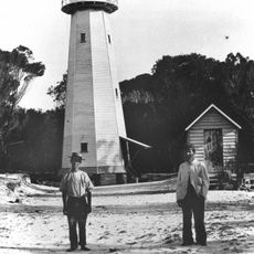
Comboyuro Point Light
15.9 km
Pumicestone National Park
23.1 km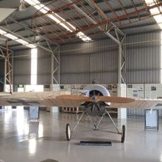
Caboolture Warplane Museum
21.7 km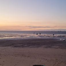
Scarborough Beach
16.8 kmBeoordelingen
Heeft u deze plek bezocht? Tik op de sterren om een beoordeling te geven en uw ervaring of foto's te delen met de community! Probeer het nu! U kunt het op elk moment annuleren.
Ontdek verborgen schatten op elk avontuur!
Van karakteristieke kleine cafeetjes tot geheime uitzichtpunten – ontvlucht de drukte en vind plekken die echt bij jou passen. Onze app maakt het makkelijk: spraakzoekopdrachten, slimme filters, geoptimaliseerde routes en authentieke tips van reizigers wereldwijd. Download nu en beleef het avontuur op je smartphone!

Een nieuwe benadering van toeristische ontdekking❞
— Le Figaro
Alle plekken die de moeite waard zijn om te ontdekken❞
— France Info
Een uitstapje op maat in slechts een paar klikken❞
— 20 Minutes