
Mallanganee Memorial Park, park in Nieuw-Zuid-Wales, Australië
Locatie: New South Wales
Locatie: Kyogle Council
Locatie: Sandilands
Hoogte boven de zeespiegel: 195 m
GPS-coördinaten: -28.91528,152.71778
Laatste update: 8 april 2025 om 15:30
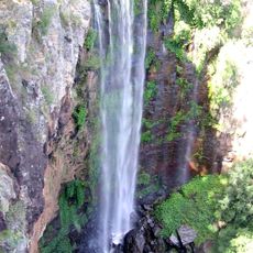
Queen Mary Falls
72.4 km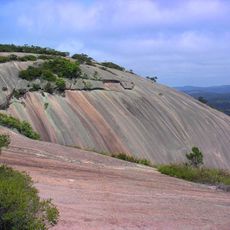
Bald Rock National Park
65.2 km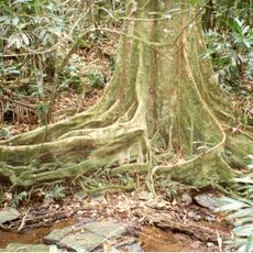
Nightcap National Park
70.9 km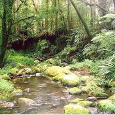
Border Ranges National Park
66.1 km
Mount Barney National Park
70.3 km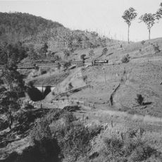
Cougal Spiral
66.9 km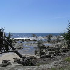
Bundjalung National Park
69.5 km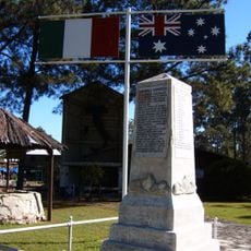
History of New Italy, New South Wales
62.2 km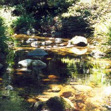
Washpool National Park
60.8 km
Rocky Creek Dam
69.4 km
Boonoo Boonoo National Park
56.6 km
Mount Chinghee National Park
71.7 km
Tooloom National Park
57.8 km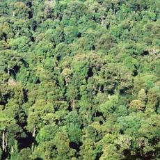
Toonumbar National Park
46.8 km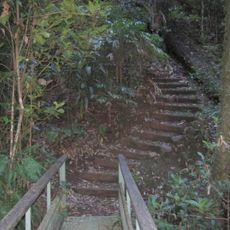
Nationaal park Richmond Range
35.6 km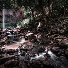
Browns Falls
72.5 km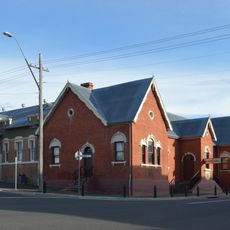
Tenterfield School of Arts
69.8 km
Nationaal park Broadwater
69.1 km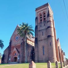
St Carthage's Cathedral
56.5 km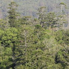
Nationaal park Mallanganee
3.5 km
High Conservation Value Old Growth forest
53.9 km
Tulloona
59.6 km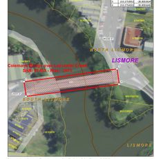
Colemans Bridge
55.7 km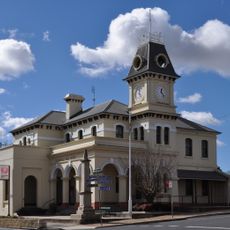
Tenterfield Post Office
69.8 km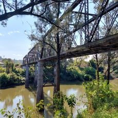
Leycester Creek railway bridge
55.5 km
New Italy Museum
62.4 km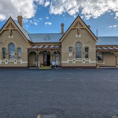
Tenterfield
71.1 km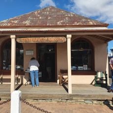
Tenterfield Saddler
69.7 kmBeoordelingen
Heeft u deze plek bezocht? Tik op de sterren om een beoordeling te geven en uw ervaring of foto's te delen met de community! Probeer het nu! U kunt het op elk moment annuleren.
Ontdek verborgen schatten op elk avontuur!
Van karakteristieke kleine cafeetjes tot geheime uitzichtpunten – ontvlucht de drukte en vind plekken die echt bij jou passen. Onze app maakt het makkelijk: spraakzoekopdrachten, slimme filters, geoptimaliseerde routes en authentieke tips van reizigers wereldwijd. Download nu en beleef het avontuur op je smartphone!

Een nieuwe benadering van toeristische ontdekking❞
— Le Figaro
Alle plekken die de moeite waard zijn om te ontdekken❞
— France Info
Een uitstapje op maat in slechts een paar klikken❞
— 20 Minutes