
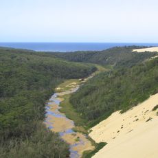
Bournda State Recreation Area, park in Nieuw-Zuid-Wales, Australië
Locatie: New South Wales
Locatie: Bega Valley Shire
Locatie: Bournda
Hoogte boven de zeespiegel: 1 m
GPS-coördinaten: -36.78167,149.93472
Laatste update: 17 maart 2025 om 01:09
Croajingolong National Park
80.1 km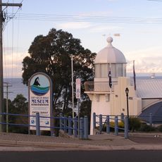
Eden Killer Whale Museum
32 km
Mount Dromedary / Gulaga
53.6 km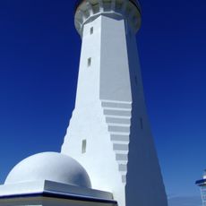
Green Cape Lighthouse
54.4 km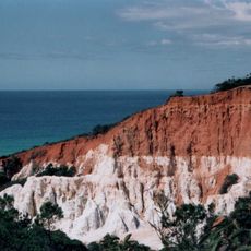
Beowa National Park
44.8 km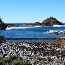
Mimosa Rocks National Park
12.6 km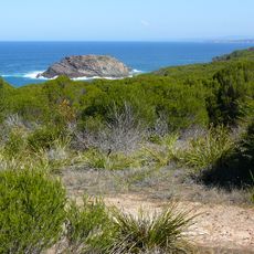
Bournda National Park
3.8 km
Penders
18.4 km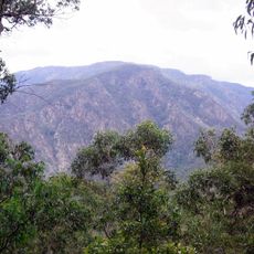
Wadbilliga National Park
56.5 km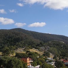
Gulaga National Park
52.8 km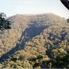
Mount Imlay National Park
45.4 km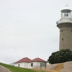
Montague Island Light
64.5 km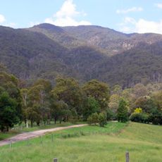
Biamanga National Park
36.4 km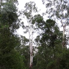
Coopracambra National Park
82.5 km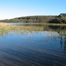
Eurobodalla National Park
74.2 km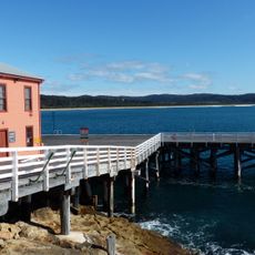
Tathra Wharf
7.9 km
South East Forest National Park
46.4 km
Baronda
11.6 km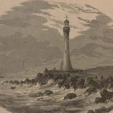
Gabo Island Lighthouse
87.6 km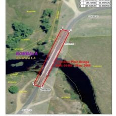
Crankies Plain Bridge
60.7 km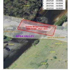
Greigs Flat Bridge over Yowaka River
20.6 km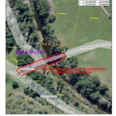
New Buildings Bridge over Towamba River
38.6 km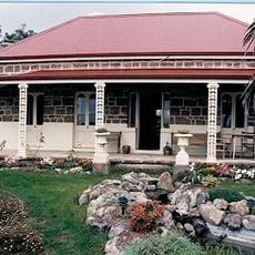
Courunga
12.4 km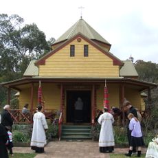
Transfiguration Monastery
64.3 km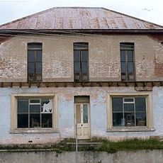
CBC Bank Building, Bega
15 km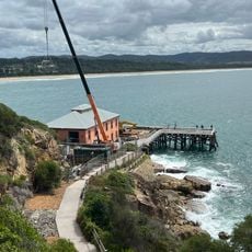
Tathra Wharf Museum
7.9 km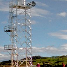
Green Cape Lighthouse
54.4 km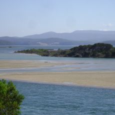
Mallacoota tidal inlet
87.8 kmBeoordelingen
Heeft u deze plek bezocht? Tik op de sterren om een beoordeling te geven en uw ervaring of foto's te delen met de community! Probeer het nu! U kunt het op elk moment annuleren.
Ontdek verborgen schatten op elk avontuur!
Van karakteristieke kleine cafeetjes tot geheime uitzichtpunten – ontvlucht de drukte en vind plekken die echt bij jou passen. Onze app maakt het makkelijk: spraakzoekopdrachten, slimme filters, geoptimaliseerde routes en authentieke tips van reizigers wereldwijd. Download nu en beleef het avontuur op je smartphone!

Een nieuwe benadering van toeristische ontdekking❞
— Le Figaro
Alle plekken die de moeite waard zijn om te ontdekken❞
— France Info
Een uitstapje op maat in slechts een paar klikken❞
— 20 Minutes