
Namuno District, district in Cabo Delgado Province, Mozambique
Locatie: Cabo Delgado Province
GPS-coördinaten: -13.62100,38.81900
Laatste update: 7 maart 2025 om 14:43
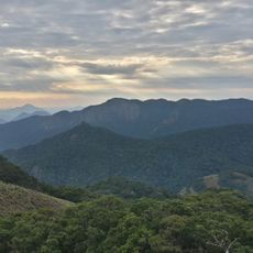
Mount Mabu
396 km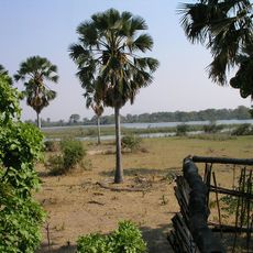
Nationaal park Liwonde
399.6 km
Niassa Reserve
289.7 km
Mount Namuli
270.7 km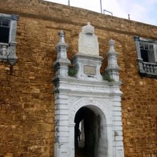
Fort São Sebastião
260.1 km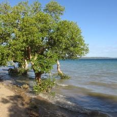
Quirimbas National Park
240.6 km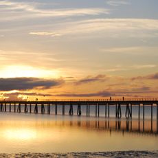
Mozambique Island Bridge
258.2 km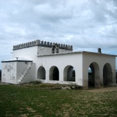
Chapel of Nossa Senhora de Baluarte
260.2 km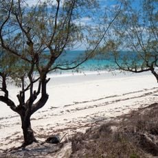
Chocas Mar
253.6 km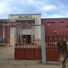
National Museum of Ethnography Nampula
173.5 km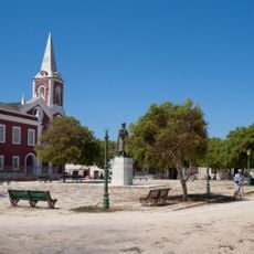
Jesuit College and Chapel of Saint Paul (Governor’s Palace)
259.7 km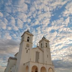
Our Lady of Fatima Cathedral
173.3 km
Ibo fortresses
238.6 km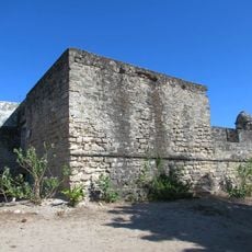
Fortim de São José do Ibo
238.3 km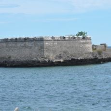
Fort São Lourenço
260.1 km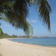
Wimbe Beach
199.7 km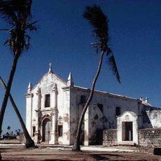
Church Saint Anthony
260.1 km
Tambuzi Island
319.4 km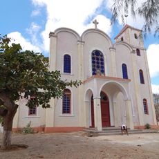
St. Paul's Cathedral, Pemba
195.9 km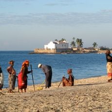
Fort Saint Anthony
260.1 km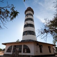
Pinda Lighthouse
214.9 km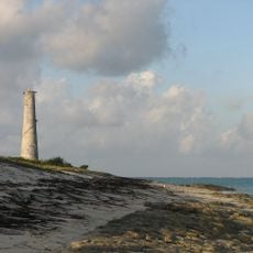
Medjumbe Lighthouse
279.5 km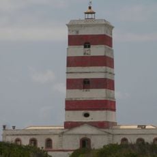
Lighthouse on Goa island
265.6 km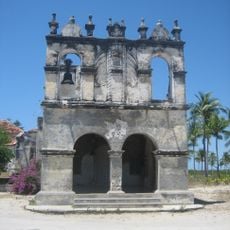
Church of Our Lady of Remedy (Cabaceira Grande)
256.1 km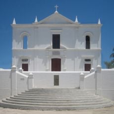
Church of Our Lady of Health
259.7 km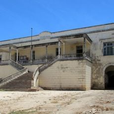
Courthouse, Ilha de Moçambique
259.8 km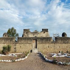
Santo Antonio Fort
238.7 km
São João Batista do Ibo Fortress
238.6 kmHeeft u deze plek bezocht? Tik op de sterren om een beoordeling te geven en uw ervaring of foto's te delen met de community! Probeer het nu! U kunt het op elk moment annuleren.
Ontdek verborgen schatten op elk avontuur!
Van karakteristieke kleine cafeetjes tot geheime uitzichtpunten – ontvlucht de drukte en vind plekken die echt bij jou passen. Onze app maakt het makkelijk: spraakzoekopdrachten, slimme filters, geoptimaliseerde routes en authentieke tips van reizigers wereldwijd. Download nu en beleef het avontuur op je smartphone!

Een nieuwe benadering van toeristische ontdekking❞
— Le Figaro
Alle plekken die de moeite waard zijn om te ontdekken❞
— France Info
Een uitstapje op maat in slechts een paar klikken❞
— 20 Minutes