
Maquia District, district in Loreto, Peru
Locatie: Requena Province
Hoogte boven de zeespiegel: 122 m
Grenst aan: Emilio San Martín District, Alto Tapiche District, Contamana District, Vargas Guerra District, Sarayacu District, Puinahua District
GPS-coördinaten: -5.75013,-74.53808
Laatste update: 23 april 2025 om 02:57
Nationaal park Rio Abiseo
373.4 km
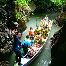
Pacaya-Samiria National Reserve
57.5 km
Gran Pajáten
347.1 km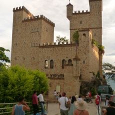
Castillo de Lamas
231.7 km
Complejo Turistico de Quistococha
252.8 km
Allpahuayo Mishana
230.2 km
Serra do Divisor National Park
291.4 km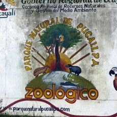
Parque Natural de Pucallpa
293.9 km
Fundación y colonización de Pucallpa
293.1 km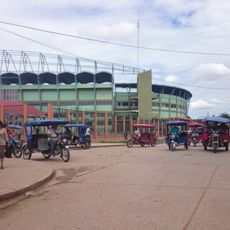
Estadio Aliardo Soria Pérez
293.5 km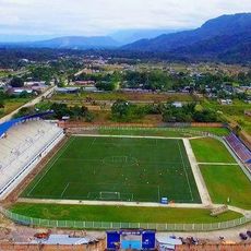
Estadio IPD de Nueva Cajamarca
307.3 km
Cordillera Escalera Regional Conservation Area
212 km
Tamshiyacu Tahuayo Regional Conservation Area
217.1 km
Río Cumbaza
219.5 km
Purunllacta, Soloco
356.5 km
Pampachica beach
262.4 km
Catedral de Yurimaguas
174.3 km
Cashibo
294.1 km
Paraíso bridge
175.1 km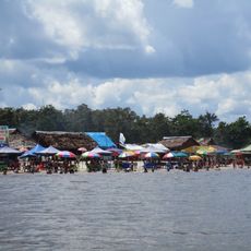
Playa de Tipishca
254.9 km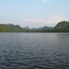
Pisqui River
274.3 km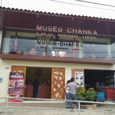
Museo Chanka y de la Diversidad Lamista
231.5 km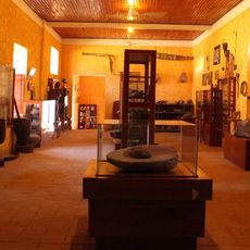
Museo Etno Arqueológico de Pachiza
301.3 km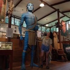
Museo de Ayahuasca / Tarapoto
216.3 km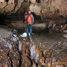
Cueva de Palestina
312.2 km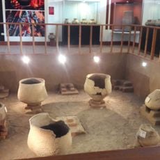
Centro Cultural Joicy V. Bartra
198.8 km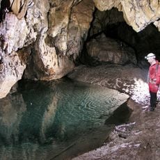
Cueva Maronal
307.4 km
Cueva de Cacapishco
333.7 kmHeeft u deze plek bezocht? Tik op de sterren om een beoordeling te geven en uw ervaring of foto's te delen met de community! Probeer het nu! U kunt het op elk moment annuleren.
Ontdek verborgen schatten op elk avontuur!
Van karakteristieke kleine cafeetjes tot geheime uitzichtpunten – ontvlucht de drukte en vind plekken die echt bij jou passen. Onze app maakt het makkelijk: spraakzoekopdrachten, slimme filters, geoptimaliseerde routes en authentieke tips van reizigers wereldwijd. Download nu en beleef het avontuur op je smartphone!

Een nieuwe benadering van toeristische ontdekking❞
— Le Figaro
Alle plekken die de moeite waard zijn om te ontdekken❞
— France Info
Een uitstapje op maat in slechts een paar klikken❞
— 20 Minutes