
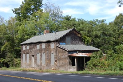
Columbia Turnpike-East Tollhouse
Columbia Turnpike-East Tollhouse, tollhouse in Hillsdale, New York
Locatie: Hillsdale
Ontstaan: 1799
GPS-coördinaten: 42.18444,-73.49056
Laatste update: 23 september 2025 om 16:09
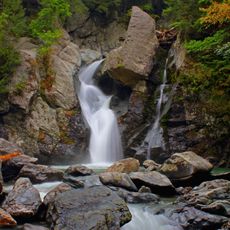
Bash Bish Falls
7.7 km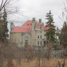
Searles Castle
10.6 km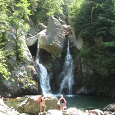
Bash Bish Falls State Park
7.6 km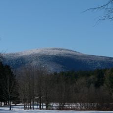
Mount Everett
10.4 km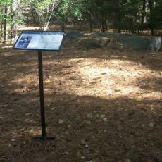
W.E.B. Du Bois Boyhood Homesite
8 km
Mount Washington State Forest
5.6 km
Mount Everett State Reservation
10.4 km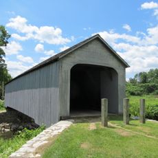
Old Covered Bridge
13.1 km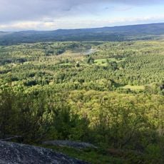
Jug End State Reservation and Wildlife Management Area
5.3 km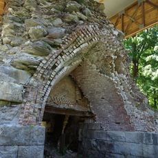
Copake Iron Works Historic District
7.5 km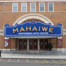
Mahaiwe Block
10.6 km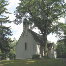
Church of St. John in the Wilderness
7.5 km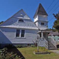
Clinton African Methodist Episcopal Zion Church
10.6 km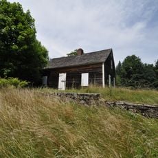
Benjamin Osborn House
7.7 km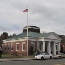
United States Post Office–Great Barrington Main
10.9 km
Sheffield Plain Historic District
13.1 km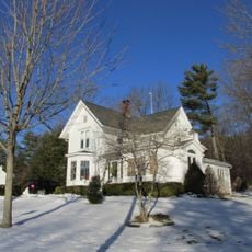
South Egremont Village Historic District
7.2 km
Hillsdale Hamlet Historic District
2.6 km
Copake Memorial Clock
10.2 km
North Chatham Historic District
7.5 km
Dwight-Henderson House
10.3 km
North Egremont Historic District
4.4 km
Westover-Bacon-Potts Farm
7.3 km
Taconic and West Avenues Historic District
10.1 km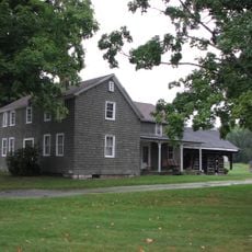
Wheeler Family Farmstead
10.6 km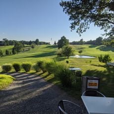
Copake Country Club
10.6 km
Mount Race
12.4 km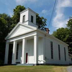
North Hillsdale Methodist Church
6.1 kmHeeft u deze plek bezocht? Tik op de sterren om een beoordeling te geven en uw ervaring of foto's te delen met de community! Probeer het nu! U kunt het op elk moment annuleren.
Ontdek verborgen schatten op elk avontuur!
Van karakteristieke kleine cafeetjes tot geheime uitzichtpunten – ontvlucht de drukte en vind plekken die echt bij jou passen. Onze app maakt het makkelijk: spraakzoekopdrachten, slimme filters, geoptimaliseerde routes en authentieke tips van reizigers wereldwijd. Download nu en beleef het avontuur op je smartphone!

Een nieuwe benadering van toeristische ontdekking❞
— Le Figaro
Alle plekken die de moeite waard zijn om te ontdekken❞
— France Info
Een uitstapje op maat in slechts een paar klikken❞
— 20 Minutes