
Bartošovický luh, natuurgebied in Tsjechië
Locatie: Bartošovice
Ontstaan: 23 januari 2003
GPS-coördinaten: 49.67210,18.01620
Laatste update: 10 maart 2025 om 05:09
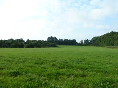
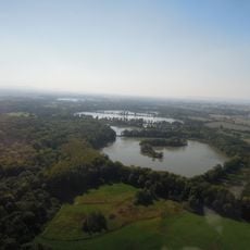
Poodří Protected Landscape Area
4.4 km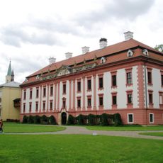
Kunin Castle
3.8 km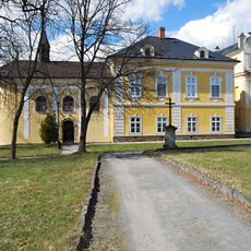
Castle in Nová Horka
4.5 km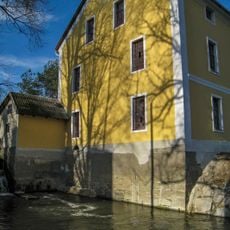
Bartošovice mill
2.4 km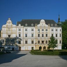
Castle in Bartošovice
2.5 km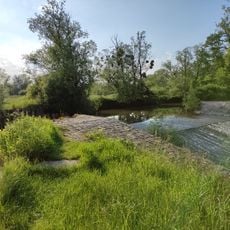
Jez v Bartošovicích
2.3 km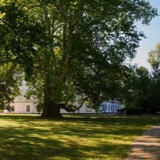
Bartošovický platan
2.5 km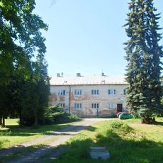
Hukovice
2.4 km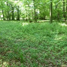
Pusté nivy
1.6 km
Halte Hladké Životice
2.3 km
Pustějov Castle
3.6 km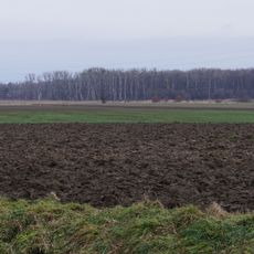
Koryta
3.6 km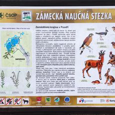
Zámecká Educational Trail
2.3 km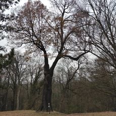
Dub v zámeckém parku
4.6 km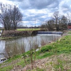
Weir Studénka
4.8 km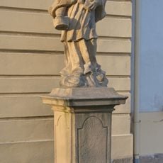
Statue of John of Nepomuk nearby the church in Kunín
3.8 km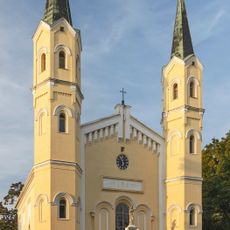
Church of Exaltation of the Holy Cross
3.8 km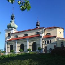
Church of Saint Andrew and Saints Peter and Paul
2.6 km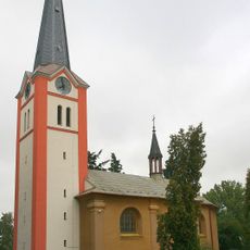
Church of Saint Nicholas
4.3 km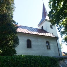
Church of the Visitation of the Virgin Mary
2.5 km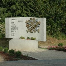
2008 Studénka train disaster memorial
4.5 km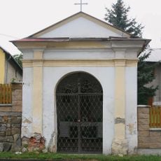
Chapel of Saint Anthony of Padua
2.6 km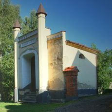
Hrobka rodiny Meinertů
2.6 km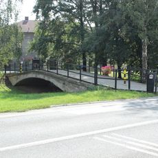
Most přátelství Leimen - Kunín
3.9 km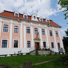
Fara
2.7 km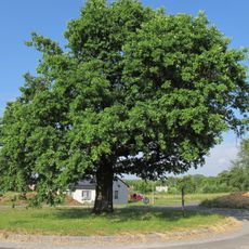
Oak near Kunín
4.7 km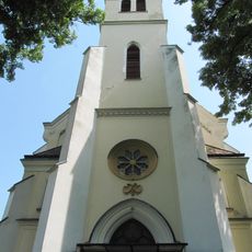
Church of Saint Mary Magdalene
3 km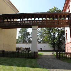
Covered bridge to the Church of Exaltation of the Holy Cross in Kunín Castle
3.8 kmBeoordelingen
Heeft u deze plek bezocht? Tik op de sterren om een beoordeling te geven en uw ervaring of foto's te delen met de community! Probeer het nu! U kunt het op elk moment annuleren.
Ontdek verborgen schatten op elk avontuur!
Van karakteristieke kleine cafeetjes tot geheime uitzichtpunten – ontvlucht de drukte en vind plekken die echt bij jou passen. Onze app maakt het makkelijk: spraakzoekopdrachten, slimme filters, geoptimaliseerde routes en authentieke tips van reizigers wereldwijd. Download nu en beleef het avontuur op je smartphone!

Een nieuwe benadering van toeristische ontdekking❞
— Le Figaro
Alle plekken die de moeite waard zijn om te ontdekken❞
— France Info
Een uitstapje op maat in slechts een paar klikken❞
— 20 Minutes