
Suchonice, gemeente in Olomouc
Locatie: Olomouc District
Locatie: administrative district of Czech municipality with expanded powers Olomouc
Hoogte boven de zeespiegel: 301 m
Grenst aan: Kokory, Nelešovice, Velký Týnec, Tršice, Čelechovice
E-mail: obec@suchonice.zmail.cz
Website: http://suchonice.cz
GPS-coördinaten: 49.52705,17.38194
Laatste update: 15 april 2025 om 01:13

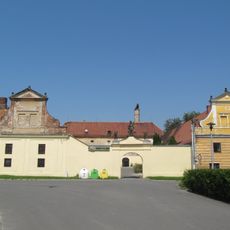
Pivovar s vodním mlýnem
3.2 km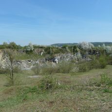
U Strejčkova lomu
4.1 km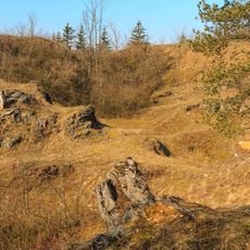
Cigánské zmoly
4 km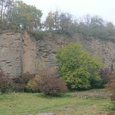
Lhotka u Přerova
3.8 km
U Bílých hlin
3.8 km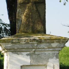
Smírčí kříž
4.1 km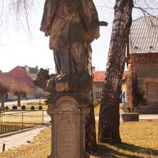
Socha svatého Jana Nepomuckého
1.4 km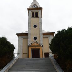
Church of Saint Wenceslaus
326 m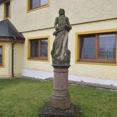
Socha svatého Jana Křtitele
2 km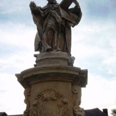
Sochy svatého Jáchyma, Josefa a Libora
3 km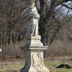
Socha svatého Antonína Paduánského
2.8 km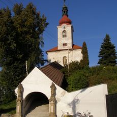
Church of the Assumption of the Virgin Mary
3.4 km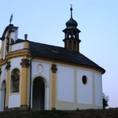
Chapel of Saint Francis Xavier
3.8 km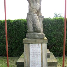
Pomník umučeným roku 1945
1.3 km
Chapel of Holy Guardian Angel
3.6 km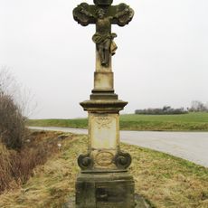
Krucifix
3.5 km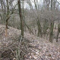
Hradiště
3.6 km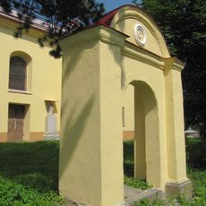
Hřbitovní brána
3 km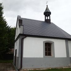
Chapel of Saints Anthony of Padua and Wendelin
2 km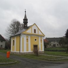
Chapel of Saint Praxedes
2.2 km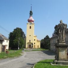
Church of Saints Peter and Paul
3 km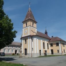
Church of Saint Florian
2.9 km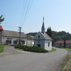
Chapel of Saint Nicholas of Tolentino
2.9 km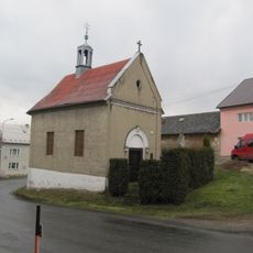
Chapel of Virgin Mary
2.6 km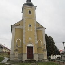
Chapel of the Nativity of the Virgin Mary
3.7 km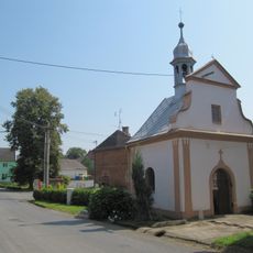
Chapel of Saints Roch, Sebastian, Fabian and Rosalia
1.9 km
Usedlost čp. 18
3.3 km
U Bílých hlín
3.8 kmBeoordelingen
Heeft u deze plek bezocht? Tik op de sterren om een beoordeling te geven en uw ervaring of foto's te delen met de community! Probeer het nu! U kunt het op elk moment annuleren.
Ontdek verborgen schatten op elk avontuur!
Van karakteristieke kleine cafeetjes tot geheime uitzichtpunten – ontvlucht de drukte en vind plekken die echt bij jou passen. Onze app maakt het makkelijk: spraakzoekopdrachten, slimme filters, geoptimaliseerde routes en authentieke tips van reizigers wereldwijd. Download nu en beleef het avontuur op je smartphone!

Een nieuwe benadering van toeristische ontdekking❞
— Le Figaro
Alle plekken die de moeite waard zijn om te ontdekken❞
— France Info
Een uitstapje op maat in slechts een paar klikken❞
— 20 Minutes