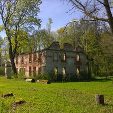
Angelas
Locatie: Pandėlio seniūnija
GPS-coördinaten: 56.06230,25.29228
Laatste update: 18 november 2025 om 00:03
Nereta Manor
10.3 km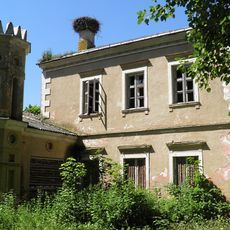
Panemunis Manor
337 m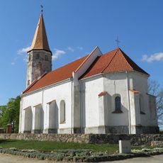
Lutheran church in Nereta
15.9 km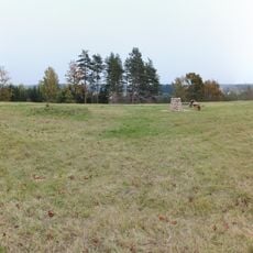
Moškėnų piliakalnis
13.9 km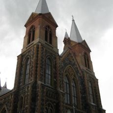
Church of St. Peter and St. Paul, Čedasai
8.8 km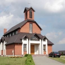
Roman Catholic church in Nereta
15.7 km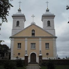
Church of the Holy Name of the Virgin Mary, Pandėlys
6 km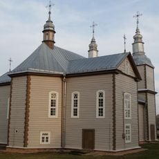
Church of St. John the Baptist, Kvetkai
13.6 km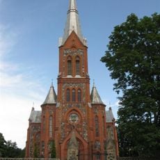
Church of St. Michael the Archangel, Žiobiškis
12.1 km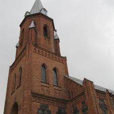
Church of the Holy Trinity, Panemunis
635 m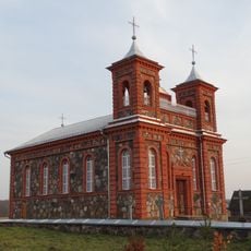
Church of St. James the Apostle, Suvainiškis
10.9 km
Žiobiškio tvenkinys
13.4 km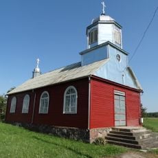
Old Believers Church in Maineivos
11.1 km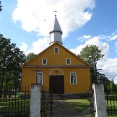
Church of the Blessed Virgin Mary, Kazliškis
8.2 km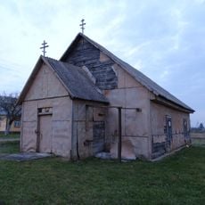
Old Believers Church in Kvedariškis
11.6 km
Gudiškių piliakalnis
11.6 km
Martiniškėnai hillfort
14.8 km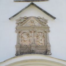
Cilnis fasādē
15.9 km
Parks
10.4 km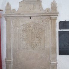
Kapa plāksne - piemineklis V.Efernam
15.9 km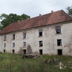
Pils
10.3 km
Buteikių I tvenkinys
14.5 km
Buteikių II tvenkinys
14.8 km
Kilpiškių tvenkinys
6.5 km
Raikėnų tvenkinys
8.4 km
Prūselių karjeras
12.4 km
Notigalės partizanų bunkeris
12.1 km
Vengerinės tvenkinys
13.9 kmBeoordelingen
Heeft u deze plek bezocht? Tik op de sterren om een beoordeling te geven en uw ervaring of foto's te delen met de community! Probeer het nu! U kunt het op elk moment annuleren.
Ontdek verborgen schatten op elk avontuur!
Van karakteristieke kleine cafeetjes tot geheime uitzichtpunten – ontvlucht de drukte en vind plekken die echt bij jou passen. Onze app maakt het makkelijk: spraakzoekopdrachten, slimme filters, geoptimaliseerde routes en authentieke tips van reizigers wereldwijd. Download nu en beleef het avontuur op je smartphone!

Een nieuwe benadering van toeristische ontdekking❞
— Le Figaro
Alle plekken die de moeite waard zijn om te ontdekken❞
— France Info
Een uitstapje op maat in slechts een paar klikken❞
— 20 Minutes