
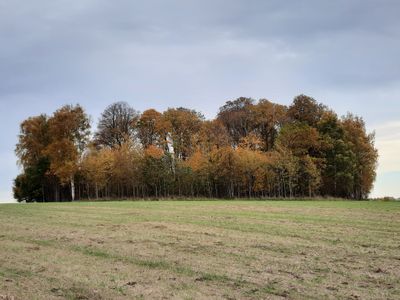
Puokės alkakalnis
Locatie: Skuodas District Municipality
Hoogte: 7 m
GPS-coördinaten: 56.18259,21.93955
Laatste update: 25 september 2025 om 08:40
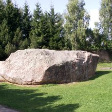
Barstyčiai stone
2.8 km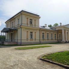
Renavas Manor
8.8 km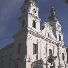
Church of the Visitation, Žemaičių Kalvarija
9.2 km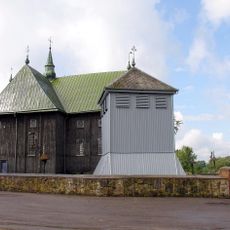
Church of the Assumption, Seda
9.5 km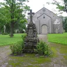
Church of St. Isidore, Renavas
9.2 km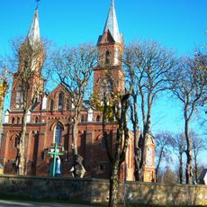
Church of the Annunciation, Ylakiai
11.9 km
Paparčių kaštonas
5 km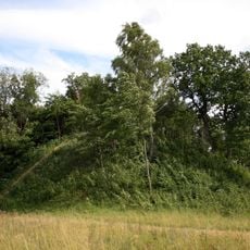
Šarnelė hillfort
5.9 km
Mikytų piliakalnis
10.1 km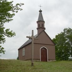
Žemaičių Kalvarijos piliakalnis
9.6 km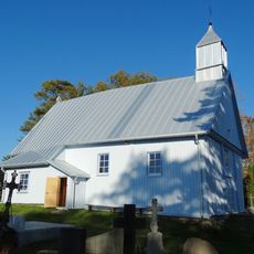
Chapel in Grūstė
6.4 km
Gegrėnų piliakalnis
10.4 km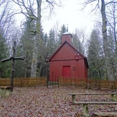
Sorai chapel
13.2 km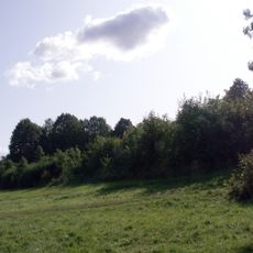
Rimoliai hillfort
8.2 km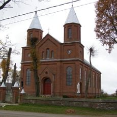
Church of St. John the Baptist, Šatės
11.6 km
Vadagių piliakalnis
12.8 km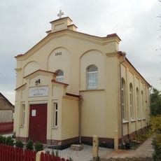
Baptist church in Ylakiai
12.3 km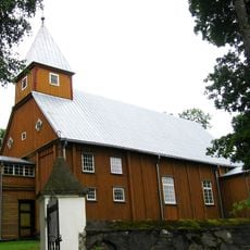
Church of St. Simon and St. Jude Thaddeus the Apostles, Barstyčiai
4.9 km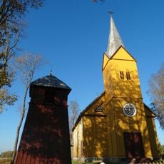
Church of St. Anne, Vaičaičiai
5.1 km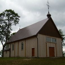
Church of Jesus of Nazareth in Gegrėnai
9.3 km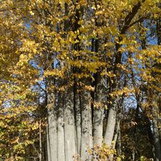
Paluobės daugiakamienė liepa
9.9 km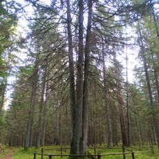
Laumių miško keturkamienė eglė
5.1 km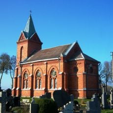
Chapel in Ylakiai
11.2 km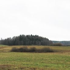
Pūčkorių 1 hillfort
10.1 km
Girkantų piliakalnis
10.4 km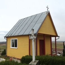
Šatės cemetery chapel
11.9 km
Žernių piliakalnis
13.2 km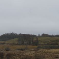
Pūčkorių 2 hillfort
9.7 kmHeeft u deze plek bezocht? Tik op de sterren om een beoordeling te geven en uw ervaring of foto's te delen met de community! Probeer het nu! U kunt het op elk moment annuleren.
Ontdek verborgen schatten op elk avontuur!
Van karakteristieke kleine cafeetjes tot geheime uitzichtpunten – ontvlucht de drukte en vind plekken die echt bij jou passen. Onze app maakt het makkelijk: spraakzoekopdrachten, slimme filters, geoptimaliseerde routes en authentieke tips van reizigers wereldwijd. Download nu en beleef het avontuur op je smartphone!

Een nieuwe benadering van toeristische ontdekking❞
— Le Figaro
Alle plekken die de moeite waard zijn om te ontdekken❞
— France Info
Een uitstapje op maat in slechts een paar klikken❞
— 20 Minutes