
Mikniūnų akmuo
Locatie: Rokiškis District Municipality
GPS-coördinaten: 55.75626,25.48912
Laatste update: 25 september 2025 om 08:41
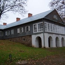
Adomynė Manor
11.5 km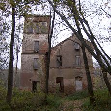
Svėdasai manor
10.5 km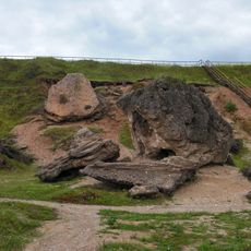
Šeimyniškiai outcrop
13.3 km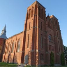
Church of St. Casimir, Kamajai
7.4 km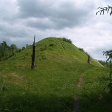
Šeimyniškiai hillfort
13.8 km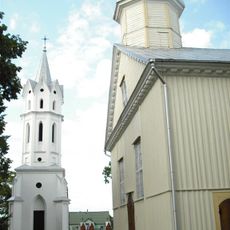
Church of St. Michael the Archangel, Svėdasai
11.4 km
Rudžių piliakalnis
9.1 km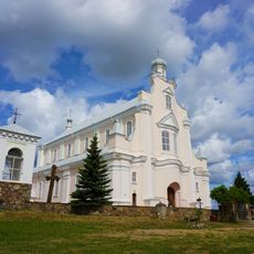
Church of St. Michael the Archangel, Jūžintai
11.8 km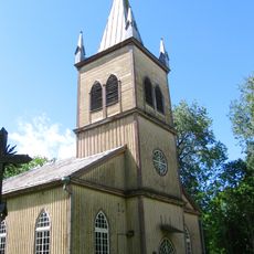
Church of the Holy Cross, Salos
9.8 km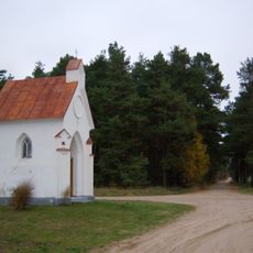
Bajorai chapel
11.8 km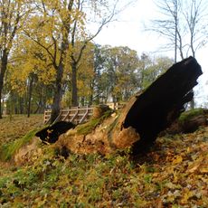
Salų tuopa
9.6 km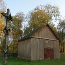
Salos churchyard chapel
9.8 km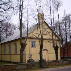
Church of the Holy Name of the Virgin Mary, Adomynė
11.5 km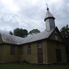
Church of St. Anne, Duokiškis
2.6 km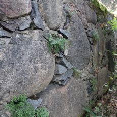
Wall-rue habitat
11.1 km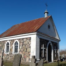
Cemetery chapel, Svėdasai
11.8 km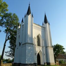
Moriconi family chapel, Svėdasai
11.5 km
Baušiškių piliakalnis
12.2 km
Rudžių akmuo
10.1 km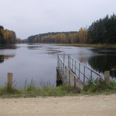
Jotkonių tvenkinys
12 km
Dauliūnų piliakalnis
7.7 km
Sidariškio akmuo
11 km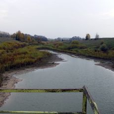
Savičiūnų tvenkinys
4.9 km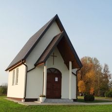
Kalviai chapel
2.2 km
Kamajai churchyard chapel
7.4 km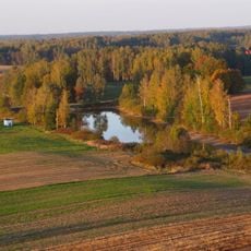
Duokiškio tvenkinys
3.1 km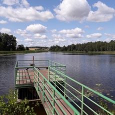
Laukagalių tvenkinys
4.8 km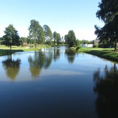
Adomynės tvenkinys
11.5 kmHeeft u deze plek bezocht? Tik op de sterren om een beoordeling te geven en uw ervaring of foto's te delen met de community! Probeer het nu! U kunt het op elk moment annuleren.
Ontdek verborgen schatten op elk avontuur!
Van karakteristieke kleine cafeetjes tot geheime uitzichtpunten – ontvlucht de drukte en vind plekken die echt bij jou passen. Onze app maakt het makkelijk: spraakzoekopdrachten, slimme filters, geoptimaliseerde routes en authentieke tips van reizigers wereldwijd. Download nu en beleef het avontuur op je smartphone!

Een nieuwe benadering van toeristische ontdekking❞
— Le Figaro
Alle plekken die de moeite waard zijn om te ontdekken❞
— France Info
Een uitstapje op maat in slechts een paar klikken❞
— 20 Minutes