
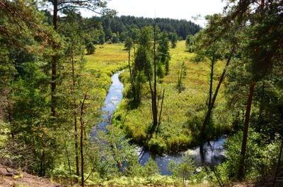
Grūda Hydrographical Reserve
Locatie: Varėna District Municipality
GPS-coördinaten: 54.10000,24.36667
Laatste update: 25 september 2025 om 08:40
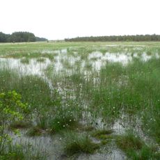
Čepkeliai Marsh
14.8 km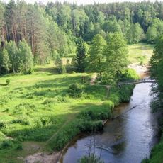
Dzūkija National Park
2.1 km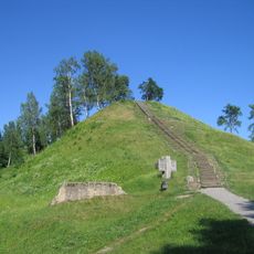
Merkinė hillfort
13.6 km
Church of the Assumption, Merkinė
13.7 km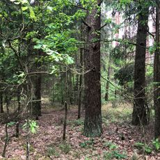
Hrodzenskaja Poesjtsja
11.3 km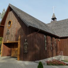
Full House community chapel, Panara
17.1 km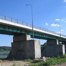
Merkinė bridge
13.7 km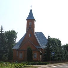
Church of St. Michael the Archangel, Varėna
18.1 km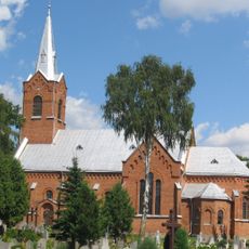
Church of the Blessed Virgin Mary and St. Francis of Assisi, Perloja
13.2 km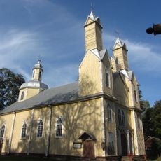
Church of St. Simon and St. Jude Thaddeus the Apostles, Marcinkonys
3.6 km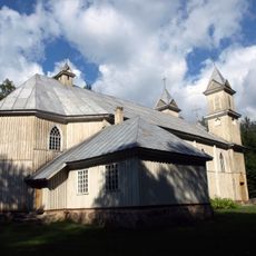
Church of the Blessed Virgin Mary of Perpetual Help, Rudnia
19.7 km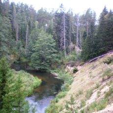
Mančiagirės skardžiai
6.5 km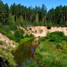
Ula Landscape Reserve
16.1 km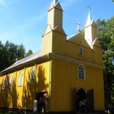
Church of the Assumption, Kabeliai
17 km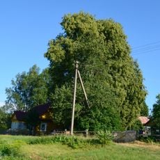
Lietuvio liepa
12.3 km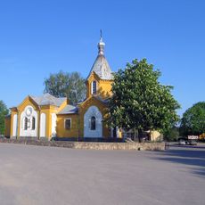
Orthodox church in Merkinė
13.8 km
Zervynų ąžuolas
8.7 km
Varėnos Pirmosios tvenkinys
19.4 km
Church of the Holy Trinity, Nedzingė
16.5 km
Mikniūnų piliakalnis
18.2 km
Zervynos village hollow pines
8.5 km
Maksimonių gyvenvietė
18.1 km
Dvarčių piliakalnis
17.6 km
Rudnios stovyklavietės
18.2 km
Subartonys Landscape Reserve
16.8 km
Zervynų senovės gyvenvietė
8.5 km
Kabelių tvenkinys
17.3 km
Masališkių tvenkinys
15.6 kmBeoordelingen
Heeft u deze plek bezocht? Tik op de sterren om een beoordeling te geven en uw ervaring of foto's te delen met de community! Probeer het nu! U kunt het op elk moment annuleren.
Ontdek verborgen schatten op elk avontuur!
Van karakteristieke kleine cafeetjes tot geheime uitzichtpunten – ontvlucht de drukte en vind plekken die echt bij jou passen. Onze app maakt het makkelijk: spraakzoekopdrachten, slimme filters, geoptimaliseerde routes en authentieke tips van reizigers wereldwijd. Download nu en beleef het avontuur op je smartphone!

Een nieuwe benadering van toeristische ontdekking❞
— Le Figaro
Alle plekken die de moeite waard zijn om te ontdekken❞
— France Info
Een uitstapje op maat in slechts een paar klikken❞
— 20 Minutes