
Friars' Walk drill hall, Stafford, drill hall in Stafford, Stafford, England, UK
Locatie: Stafford
Ontstaan: 1913
GPS-coördinaten: 52.80337,-2.11543
Laatste update: 1 mei 2025 om 10:25

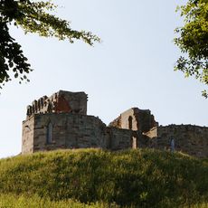
Stafford Castle
2.2 km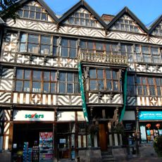
Ancient High House
337 m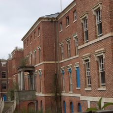
St George's Hospital
906 m
Church of St Mary
364 m
Shire Hall, Stafford
446 m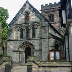
St Chad's Church, Stafford
254 m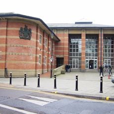
Stafford Combined Court Centre
377 m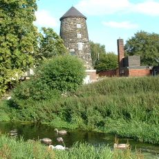
Broad Eye Windmill
628 m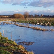
Doxey Marshes
2 km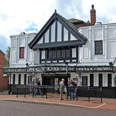
Picture House
130 m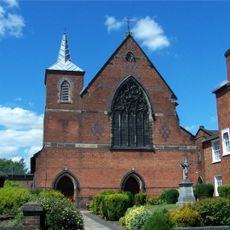
St Austin's Church, Stafford
335 m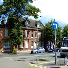
William Salt Library
383 m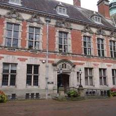
County Buildings and Judges House
396 m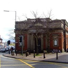
Old Borough Library, Stafford
41 m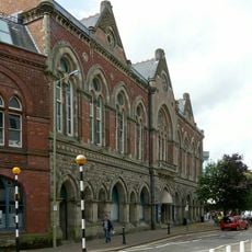
Borough Hall
422 m
Church of St Paul
441 m
Church of Holy Trinity
2.1 km
Church of St Mary
1.9 km
Post Office And Attached Railings And Gate
219 m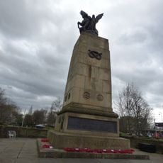
Staffordshire County War Memorial With Flanking Walls And Gates
439 m
The Bear Public House
354 m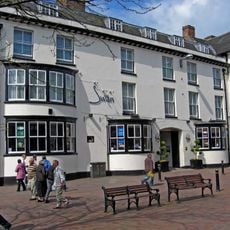
Swan Hotel
313 m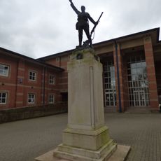
Stafford Borough War Memorial
380 m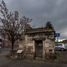
Forebridge Lock Up
168 m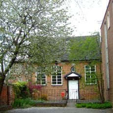
Friends' Meeting House
899 m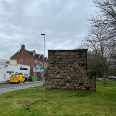
East Gate
421 m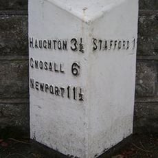
Milepost, Newport Road, E of West Way and W of Stafford town centre
1.3 km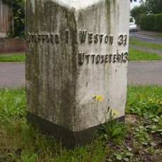
Milepost, Kingston Hill
1.5 kmHeeft u deze plek bezocht? Tik op de sterren om een beoordeling te geven en uw ervaring of foto's te delen met de community! Probeer het nu! U kunt het op elk moment annuleren.
Ontdek verborgen schatten op elk avontuur!
Van karakteristieke kleine cafeetjes tot geheime uitzichtpunten – ontvlucht de drukte en vind plekken die echt bij jou passen. Onze app maakt het makkelijk: spraakzoekopdrachten, slimme filters, geoptimaliseerde routes en authentieke tips van reizigers wereldwijd. Download nu en beleef het avontuur op je smartphone!

Een nieuwe benadering van toeristische ontdekking❞
— Le Figaro
Alle plekken die de moeite waard zijn om te ontdekken❞
— France Info
Een uitstapje op maat in slechts een paar klikken❞
— 20 Minutes