
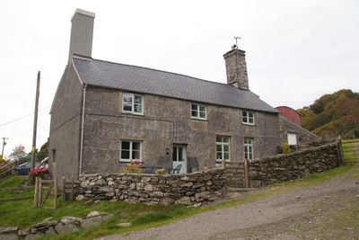
Llwynau Farmhouse, Located approximately 1.5km SE of Capel Garmon village and set back to the E of an unclassified lane running S towards the A5; at the end of a long metalled track and set into a slope behind a rubble-walled forecourt
Locatie: Bro Garmon
Hoogte boven de zeespiegel: 257,7 m
GPS-coördinaten: 53.07858,-3.76126
Laatste update: 6 maart 2025 om 15:26
Swallow Falls
6.3 km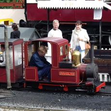
Conwy Valley Railway Museum
3.1 km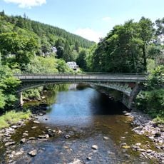
Waterloo Bridge
2.4 km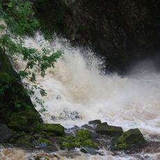
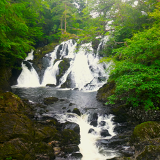
Conwy Falls
1.9 km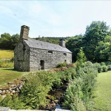
Tŷ Mawr Wybrnant
5.7 km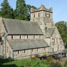
St Mary's Church
3.1 km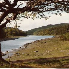
Llyn Parc
4.8 km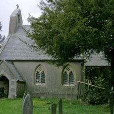
St Garmon's Church
695 m
Conwy Falls
1.8 km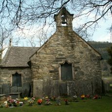
St Michael's Church
3 km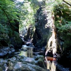
Fairy Glen
1.9 km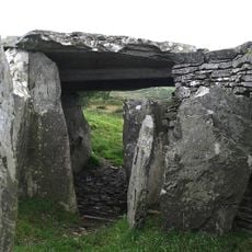
Capel Garmon Burial Chamber
691 m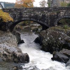
Pont-y-Pair
3.4 km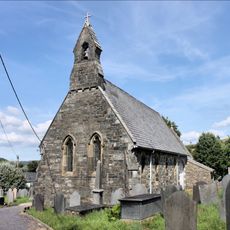
St Tudclud's Church
5.3 km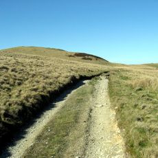
Moel Rhiwlug
6.4 km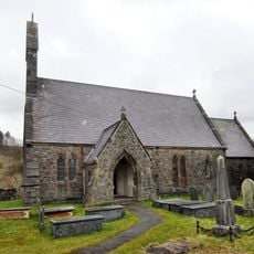
Church of St. John
6.4 km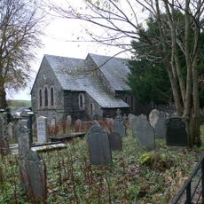
Parish Church
6.2 km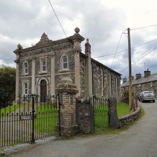
Bethania Methodist Chapel
5.4 km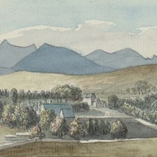
Voelas
4.4 km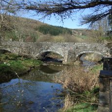
Pont Llan
5.3 km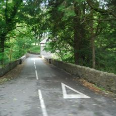
Pont Rhyd-y-Dyfrgi
4.3 km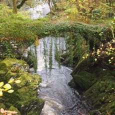
Roman Bridge
2.5 km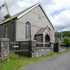
Siloam Welsh Independent Chapel
2.3 km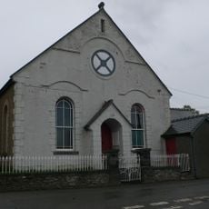
Capel Seion
655 m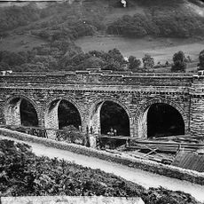
Pont Gethin
4.3 km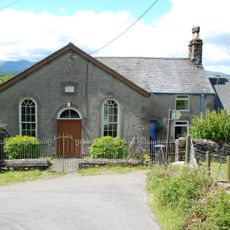
Nant-y-Rhiw Welsh Independent Chapel
3.9 km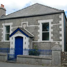
Nebo Welsh Independent Chapel
1.9 km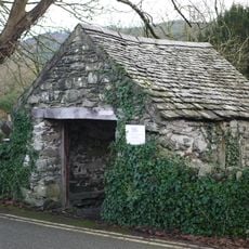
Lychgate to W of St. Michael's Church
3 kmHeeft u deze plek bezocht? Tik op de sterren om een beoordeling te geven en uw ervaring of foto's te delen met de community! Probeer het nu! U kunt het op elk moment annuleren.
Ontdek verborgen schatten op elk avontuur!
Van karakteristieke kleine cafeetjes tot geheime uitzichtpunten – ontvlucht de drukte en vind plekken die echt bij jou passen. Onze app maakt het makkelijk: spraakzoekopdrachten, slimme filters, geoptimaliseerde routes en authentieke tips van reizigers wereldwijd. Download nu en beleef het avontuur op je smartphone!

Een nieuwe benadering van toeristische ontdekking❞
— Le Figaro
Alle plekken die de moeite waard zijn om te ontdekken❞
— France Info
Een uitstapje op maat in slechts een paar klikken❞
— 20 Minutes