
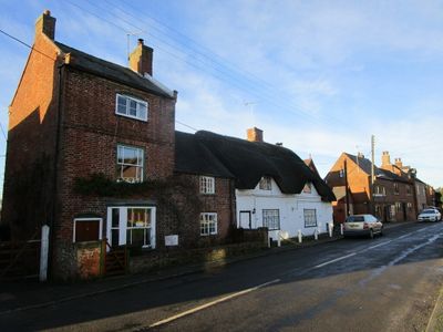
16, Long Street, building in Belton, North West Leicestershire, Leicestershire, UK
Locatie: Belton
Adres: 16, Long Street, Belton, North West Leicestershire, Leicestershire, LE12
GPS-coördinaten: 52.78173,-1.33977
Laatste update: 7 maart 2025 om 10:22
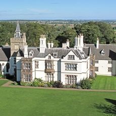
Grace Dieu Manor
2.9 km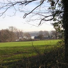
Blackbrook Reservoir
3.4 km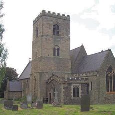
All Saints Church, Long Whatton
4.5 km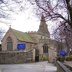
St Botolph's Church, Shepshed
3.6 km
Oakley Wood
4 km
Breedon Cloud Wood and Quarry
3.2 km
One Barrow Plantation
4 km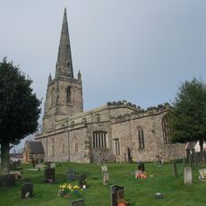
Church of St John the Baptist
207 m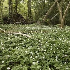
Grace Dieu and High Sharpley
3.8 km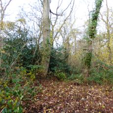
Pasture and Asplin Woods
2.3 km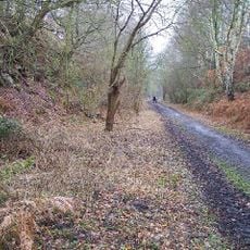
Shepshed Cutting
2.6 km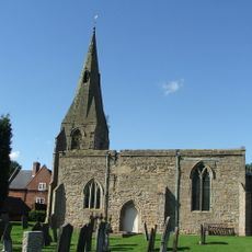
St Michael and All Angels' Church, Diseworth
3.9 km
Church of St Matthew
4 km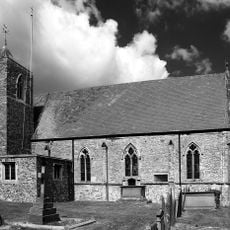
Church of St Mary
1.9 km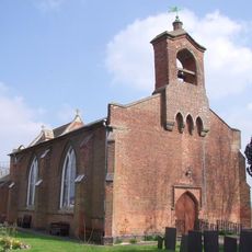
Church of St George
4.5 km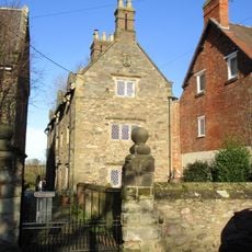
3-5, Church Lane
1.9 km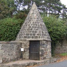
Lock Up And Pound
4.5 km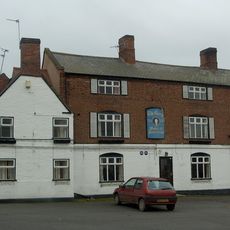
The George Public House
162 m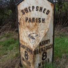
Milepost At Os Sk 469218
2.6 km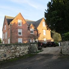
The Old Vicarage
184 m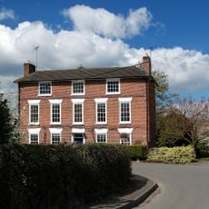
Hallington House
2 km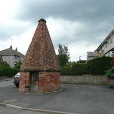
Lock up known as The Round House, at the junction of Church Street and St Matthew's Avenue
3.8 km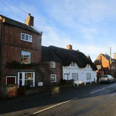
14, Long Street
14 m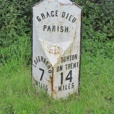
Milepost At Os Sk 432182
2.8 km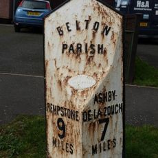
Milepost At Os Sk 456210
1 km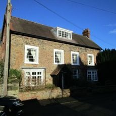
The Old Rectory
1.9 km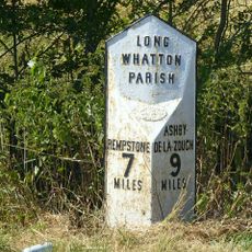
Milepost At Os Sk 483224
4.1 km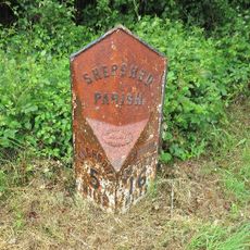
Milepost, Ashby Road West, SW of Blackbrook Hill House
2.8 kmHeeft u deze plek bezocht? Tik op de sterren om een beoordeling te geven en uw ervaring of foto's te delen met de community! Probeer het nu! U kunt het op elk moment annuleren.
Ontdek verborgen schatten op elk avontuur!
Van karakteristieke kleine cafeetjes tot geheime uitzichtpunten – ontvlucht de drukte en vind plekken die echt bij jou passen. Onze app maakt het makkelijk: spraakzoekopdrachten, slimme filters, geoptimaliseerde routes en authentieke tips van reizigers wereldwijd. Download nu en beleef het avontuur op je smartphone!

Een nieuwe benadering van toeristische ontdekking❞
— Le Figaro
Alle plekken die de moeite waard zijn om te ontdekken❞
— France Info
Een uitstapje op maat in slechts een paar klikken❞
— 20 Minutes