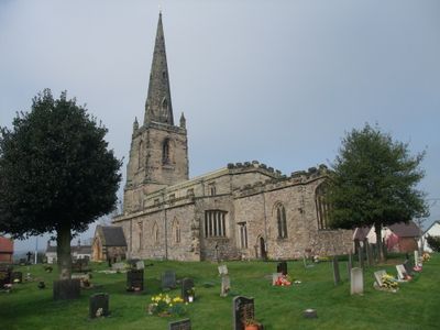
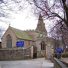
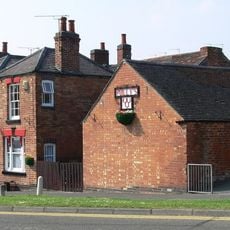
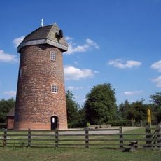
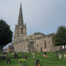
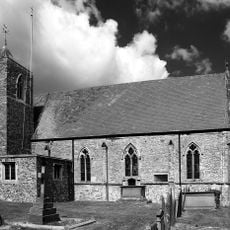
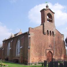
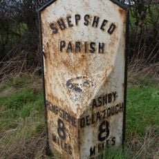
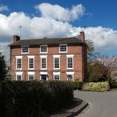
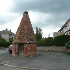
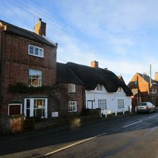
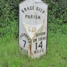
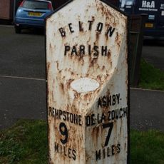
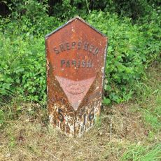
Belton, Leicestershire, dorp in Verenigd Koninkrijk
Locatie: North West Leicestershire
GPS-coördinaten: 52.78190,-1.33889
Laatste update: 5 maart 2025 om 09:02
Abdij van Mount Saint-Bernard
4.6 km
Grace Dieu Manor
2.9 km
Blackbrook Reservoir
3.4 km
St Botolph's Church, Shepshed
3.6 km
Three Horseshoes
4.8 km
Hough Windmill
5.1 km
Breedon Cloud Wood and Quarry
3.3 km
One Barrow Plantation
4 km
Church of St John the Baptist
156 m
Grace Dieu and High Sharpley
3.9 km
Pasture and Asplin Woods
2.4 km
Shepshed Cutting
2.6 km
Church of St John the Baptist
4.7 km
Church of St Mary
2 km
Church of St Matthew
4 km
Church of St George
4.5 km
3-5, Church Lane
1.9 km
The George Public House
118 m
The Old Vicarage
128 m
Milepost At Os Sk 469218
2.5 km
Hallington House
2 km
Lock up known as The Round House, at the junction of Church Street and St Matthew's Avenue
3.9 km
14, Long Street
55 m
16, Long Street
62 m
Milepost At Os Sk 432182
2.9 km
Milepost At Os Sk 456210
979 m
The Old Rectory
1.9 km
Milepost, Ashby Road West, SW of Blackbrook Hill House
2.7 kmHeeft u deze plek bezocht? Tik op de sterren om een beoordeling te geven en uw ervaring of foto's te delen met de community! Probeer het nu! U kunt het op elk moment annuleren.
Ontdek verborgen schatten op elk avontuur!
Van karakteristieke kleine cafeetjes tot geheime uitzichtpunten – ontvlucht de drukte en vind plekken die echt bij jou passen. Onze app maakt het makkelijk: spraakzoekopdrachten, slimme filters, geoptimaliseerde routes en authentieke tips van reizigers wereldwijd. Download nu en beleef het avontuur op je smartphone!
Een nieuwe benadering van toeristische ontdekking❞
— Le Figaro
Alle plekken die de moeite waard zijn om te ontdekken❞
— France Info
Een uitstapje op maat in slechts een paar klikken❞
— 20 Minutes