
Glen Howe Packhorse Bridge, Approximately 100 Metres Upstream Of Cottage
Glen Howe Packhorse Bridge, Approximately 100 Metres Upstream Of Cottage, cottage in Verenigd Koninkrijk

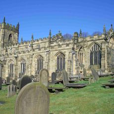
Church of St Nicholas, Bradfield
3.1 km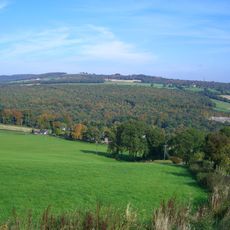
Beeley Wood
2.9 km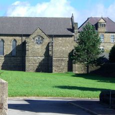
Monastery of The Holy Spirit, Sheffield
2.2 km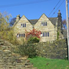
Onesacre Hall
1 km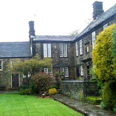
Birley Old Hall
4.1 km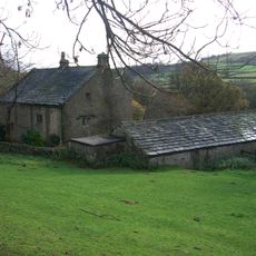
Fair House Farmhouse
4 km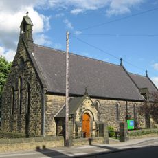
St Mark's Church, Grenoside
4 km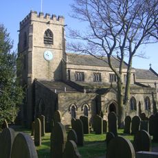
St Mary's Church, Bolsterstone
3.3 km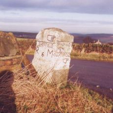
Guidepillar At Junction With Lumb Lane, Onesmoor Bottom And Onesacre Road On West Side Of Junction
1.4 km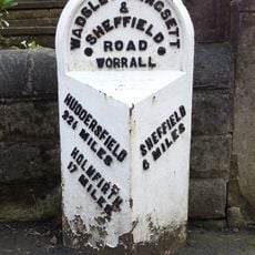
Milepost Approximately 50 Metres North Of Junction With Stockarth Lane
3.6 km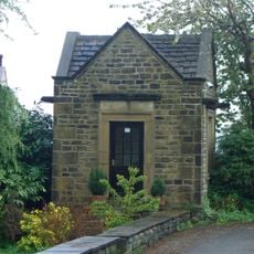
The Falconry At Birley Old Hall
4.1 km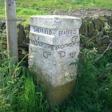
Guide Pillar At Junction With Brightolmlee Road And Peat Pits Lane On South Side Of Junction
1.6 km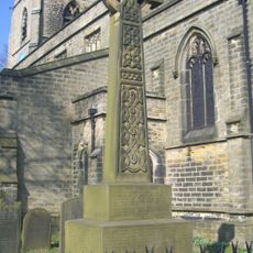
Bolsterstone War Memorial
3.3 km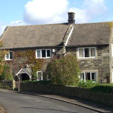
64, Towngate Road
2.6 km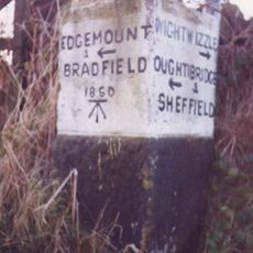
Guide Pillar At Junction With Brightholmlee Road On South West Side Of Junction
757 m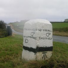
Guide Pillar At Junction With Burnt Hill Lane, East Side Of Junction
2.3 km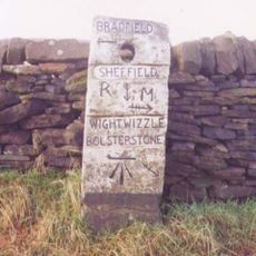
Guide Pillar At Junction With Walker Edge, Green Lane And White Lee Lane, On South West Side Of Junction
2.3 km
Fox Holes Farmhouse, Attached Farmbuildings And Linking Walls
4.3 km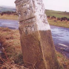
Guide Pillar At Junction With Onesmoor Road On West Side Of Junction
2 km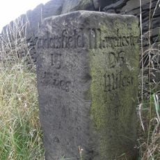
Milestone On North East Side Of Junction With Bank Lane
3.8 km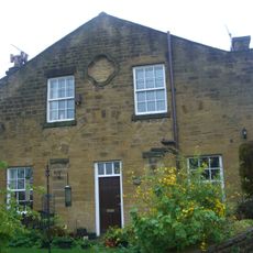
Birley Hall Farmhouse
4.1 km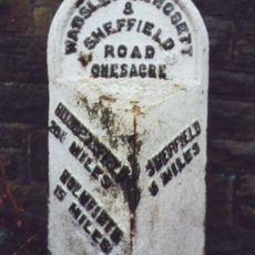
Milepost At Conjunction With Langsett Road North
881 m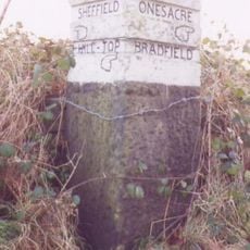
Guide Pillar At Junction With Long Lane, On South East Side Of Junction
1.3 km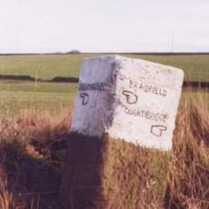
Guide Pillar At Junction With Peat Pits Lane, On North East Side Of Junction
2.1 km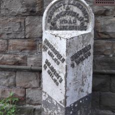
Milepost Opposite Number 220 Approximately 200 Metres North West Of Junction With Haywood Lane
4 km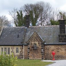
Oughtibridge Station
2.1 km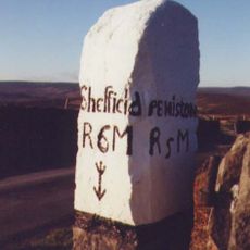
Guide Pillar At Handsome Cross On North Side Of Road
3.2 km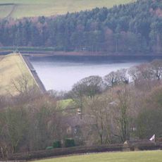
Agden Reservoir
3.7 kmBeoordelingen
Heeft u deze plek bezocht? Tik op de sterren om een beoordeling te geven en uw ervaring of foto's te delen met de community! Probeer het nu! U kunt het op elk moment annuleren.
Ontdek verborgen schatten op elk avontuur!
Van karakteristieke kleine cafeetjes tot geheime uitzichtpunten – ontvlucht de drukte en vind plekken die echt bij jou passen. Onze app maakt het makkelijk: spraakzoekopdrachten, slimme filters, geoptimaliseerde routes en authentieke tips van reizigers wereldwijd. Download nu en beleef het avontuur op je smartphone!

Een nieuwe benadering van toeristische ontdekking❞
— Le Figaro
Alle plekken die de moeite waard zijn om te ontdekken❞
— France Info
Een uitstapje op maat in slechts een paar klikken❞
— 20 Minutes