
Navigation Structures at Saugatuck Harbor
Navigation Structures at Saugatuck Harbor, Navigation structures in Michigan, United States
Locatie: Grande-Ramatuelle
GPS-coördinaten: 42.67639,-86.21611
Laatste update: 2 maart 2025 om 21:15

Holland State Park
11.4 km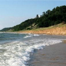
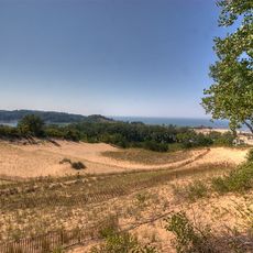
Saugatuck Dunes State Park
3.3 km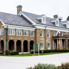
Dorr E. Felt Mansion
2.9 km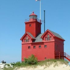
Holland Harbor Light
10.7 km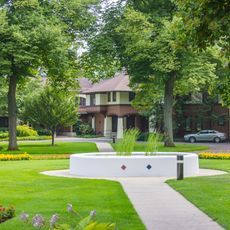
Egbert H. Gold Estate
12.6 km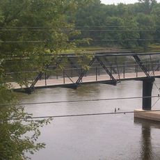
New Richmond Swing Bridge
9.4 km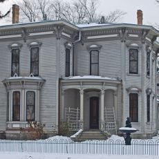
Isaac Cappon House
14.9 km
Holland Museum
15.3 km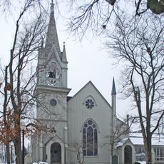
Third Reformed Church of Holland
14.8 km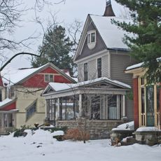
Holland Historic District
14.9 km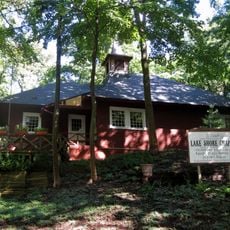
Lake Shore Chapel
2.9 km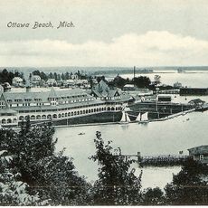
Ottawa Beach Historic District
11.1 km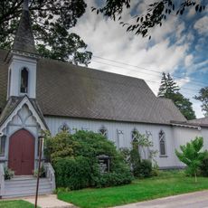
All Saints Episcopal Church
2.6 km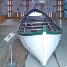
Francis Metallic Surfboat
3.7 km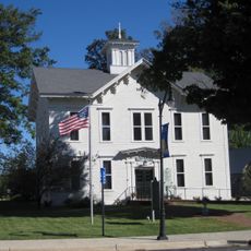
Douglas Union School
3.7 km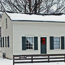
Thomas and Anna Morrissey House
15 km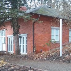
Saugatuck Pump House
1.9 km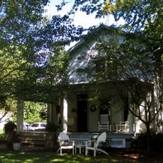
Warner P. Sutton House
3 km
Hacklander Site
6.3 km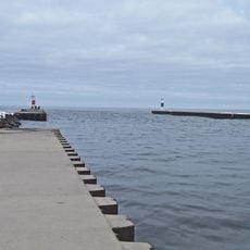
Saugatuck Harbour lighthouse
66 m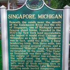
Singapore, Michigan Historical Marker
2.5 km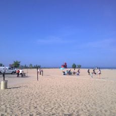
Ottawa Beach
11 km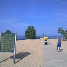
Holland Harbor Historical Marker
10.6 km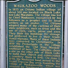
Waukazoo Woods Historical Marker
13 km
First Congregational Church Historical Marker
2.4 km
Harderwyk Christian Reformed Church
14.6 km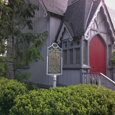
Gordon W Lloyd Historical Marker
2.6 km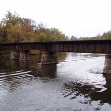
CSX Kalamazoo River Bridge
9.3 kmBeoordelingen
Heeft u deze plek bezocht? Tik op de sterren om een beoordeling te geven en uw ervaring of foto's te delen met de community! Probeer het nu! U kunt het op elk moment annuleren.
Ontdek verborgen schatten op elk avontuur!
Van karakteristieke kleine cafeetjes tot geheime uitzichtpunten – ontvlucht de drukte en vind plekken die echt bij jou passen. Onze app maakt het makkelijk: spraakzoekopdrachten, slimme filters, geoptimaliseerde routes en authentieke tips van reizigers wereldwijd. Download nu en beleef het avontuur op je smartphone!

Een nieuwe benadering van toeristische ontdekking❞
— Le Figaro
Alle plekken die de moeite waard zijn om te ontdekken❞
— France Info
Een uitstapje op maat in slechts een paar klikken❞
— 20 Minutes