
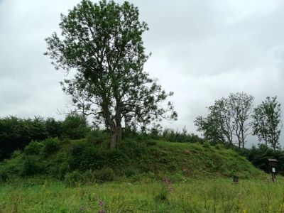
Buivydai hillfort, Anykščiai
Locatie: eldership
Website: http://piliakalniai.lt/piliakalnis.php?piliakalnis_id=32
GPS-coördinaten: 55.46161,25.31778
Laatste update: 25 september 2025 om 08:40

Alanta Manor
12.9 km
Anykščiai Regional Park
12.5 km
Burbiškis Manor
7.8 km
Skudutiškis
12.5 km
Church of St. James the Apostle, Alanta
12.4 km
Liudiškiai hillfort
12.8 km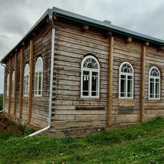
Synagogue of Alanta
12.6 km
Church of St. Joseph, Leliūnai
5.1 km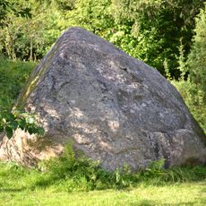
Vosgėlių akmuo
13.1 km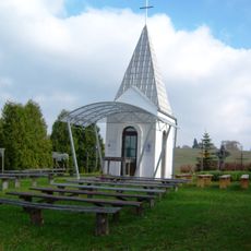
Chapel in Janonys
10.7 km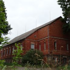
Leliūnų dvaras
4.8 km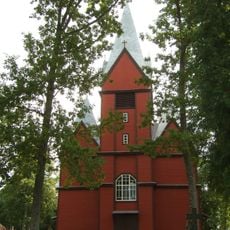
Church of the Holy Trinity, Skudutiškis
12.3 km
Rubikių piliakalnis
7.3 km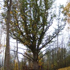
Žažumbrio ąžuolas
11.4 km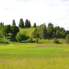
Pakalnių piliakalnis
9.2 km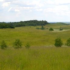
Pakalniai Geomorphological Reserve
10.9 km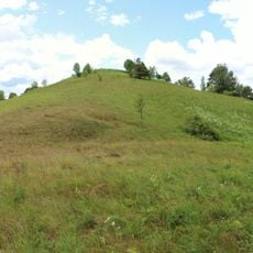
Hillfort Vosgėlių
12.6 km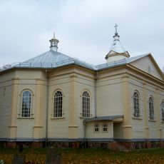
Church of the Blessed Virgin Mary, Skiemonys
5.8 km
Utenis stone
11.7 km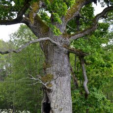
Pakalnių ąžuolas
10.5 km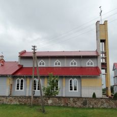
Church of the Holy Trinity, Pakalniai
10.1 km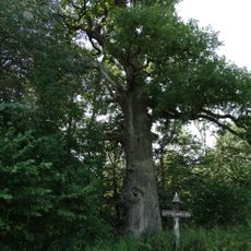
Virintos ąžuolas
13.3 km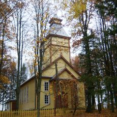
Church of the Blessed Virgin Mary, Užunvėžiai
9.7 km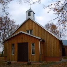
Church of the Sacred Heart, Burbiškis
7.5 km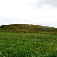
Jonydžių piliakalnis
4.8 km
Maišiakulės piliakalnis
10.4 km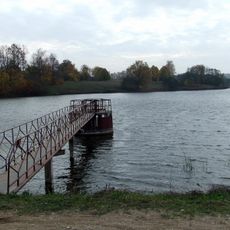
Elmininkų tvenkinys
13 km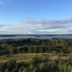
Rubikiai Hydrographical Reserve
3.3 kmHeeft u deze plek bezocht? Tik op de sterren om een beoordeling te geven en uw ervaring of foto's te delen met de community! Probeer het nu! U kunt het op elk moment annuleren.
Ontdek verborgen schatten op elk avontuur!
Van karakteristieke kleine cafeetjes tot geheime uitzichtpunten – ontvlucht de drukte en vind plekken die echt bij jou passen. Onze app maakt het makkelijk: spraakzoekopdrachten, slimme filters, geoptimaliseerde routes en authentieke tips van reizigers wereldwijd. Download nu en beleef het avontuur op je smartphone!

Een nieuwe benadering van toeristische ontdekking❞
— Le Figaro
Alle plekken die de moeite waard zijn om te ontdekken❞
— France Info
Een uitstapje op maat in slechts een paar klikken❞
— 20 Minutes