
Foston and Scropton, civil parish in South Derbyshire district, Derbyshire, England
Locatie: South Derbyshire
Website: http://www.fostonandscroptonparishcouncil.org.uk/
Grenst aan: Church Broughton, Sudbury, Hatton
Website: http://fostonandscroptonparishcouncil.org.uk
GPS-coördinaten: 52.86900,-1.71400
Laatste update: 23 maart 2025 om 11:35

Tutbury Castle
1.9 km
Sudbury Hall
3.9 km
National Trust
4 km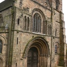
Church of St Mary
2.1 km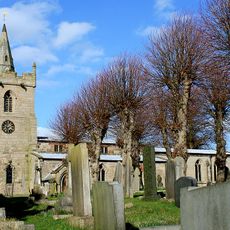
St Michael and All Angels' Church, Church Broughton
3.8 km
Church of All Saints, Sudbury
4.1 km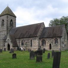
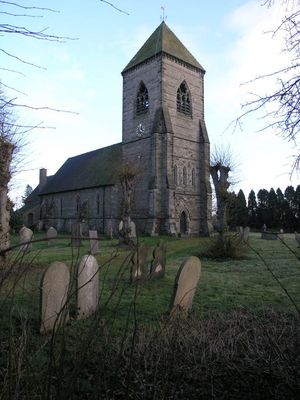
Church of St Paul
64 m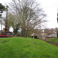
Tutbury War Memorial
2.1 km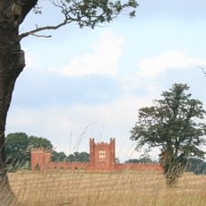
Folly Or Deercote In Park
4 km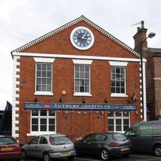
North west block of Tutbury Institute fronting street
2.3 km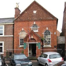
Wesleyan Methodist Chapel
2.3 km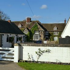
Fauld Hall
1.5 km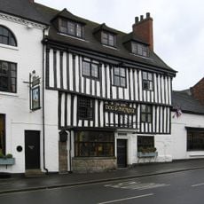
Dog And Partridge Hotel
2.3 km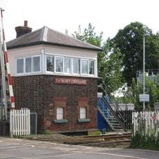
Tutbury Crossing Signal Box
2.2 km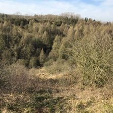
RAF Fauld Explosion Crater
2.7 km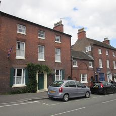
10, High Street
2.3 km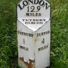
Milepost At Sk2161028370
2.9 km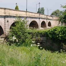
Tutbury Bridge
2.2 km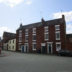
8-10, Duke Street
2.3 km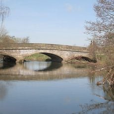
Aston Bridge
3.2 km
1, Castle Street
2.2 km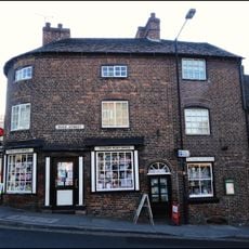
1, Duke Street
2.3 km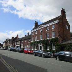
6 And 6A, High Street
2.3 km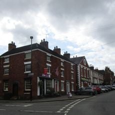
22 And 24, High Street
2.4 km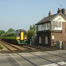
Sudbury Crossing Signal Box
3.1 km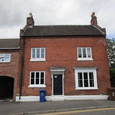
5, Monk Street
2.2 km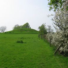
Hoon Mount platformed bowl barrow
4 km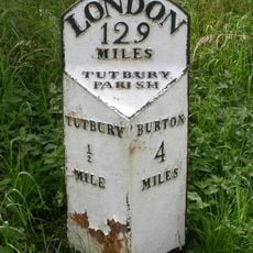
Milepost, S end of Tutbury by-pass, just E of on roundabout
2.9 kmBeoordelingen
Heeft u deze plek bezocht? Tik op de sterren om een beoordeling te geven en uw ervaring of foto's te delen met de community! Probeer het nu! U kunt het op elk moment annuleren.
Ontdek verborgen schatten op elk avontuur!
Van karakteristieke kleine cafeetjes tot geheime uitzichtpunten – ontvlucht de drukte en vind plekken die echt bij jou passen. Onze app maakt het makkelijk: spraakzoekopdrachten, slimme filters, geoptimaliseerde routes en authentieke tips van reizigers wereldwijd. Download nu en beleef het avontuur op je smartphone!

Een nieuwe benadering van toeristische ontdekking❞
— Le Figaro
Alle plekken die de moeite waard zijn om te ontdekken❞
— France Info
Een uitstapje op maat in slechts een paar klikken❞
— 20 Minutes