
Over Whitacre, plaats in Warwickshire
Locatie: North Warwickshire
GPS-coördinaten: 52.51667,-1.62639
Laatste update: 6 maart 2025 om 23:43
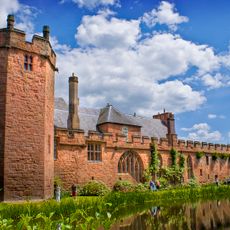
Maxstoke Castle
3.6 km
Blyth Hall
4.6 km
The Pumping Station, Whitacre Waterworks
3.9 km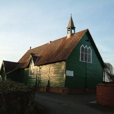
Church of the Resurrection, Hurley
4.9 km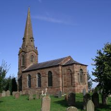
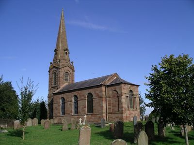
Church of St Leonard
20 m
Church of St Wilfred
2.9 km
Church of St Lawrence
3.9 km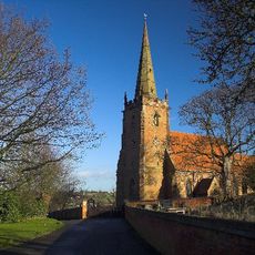
Church of St Cuthbert, Shustoke
1.2 km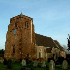
Church of St Giles
2.9 km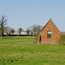
Ruins Of Chapel Of The Holy Trinity At Sp 2754 9453
4.1 km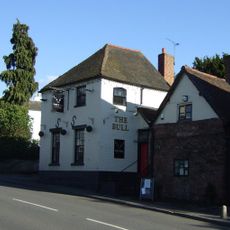
The Bulls Head Inn
647 m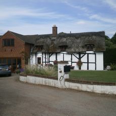
Didgley Cottage
4.1 km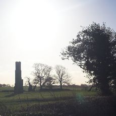
Chimney Remains 200 Metres South Of Monwode Lea Farmhouse
1.5 km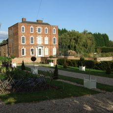
Hurley Hall And Attached Wall
4.9 km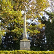
Ansley War Memorial
4.1 km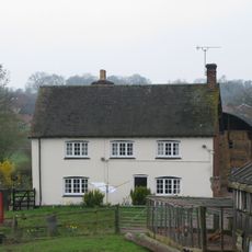
Berryfields Farmhouse
4.4 km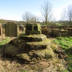
Churchyard Cross At Church Of St Leonard
27 m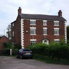
Monwode Lea Farmhouse
1.5 km
Stable Block, At Colliers Oak Farm
3.3 km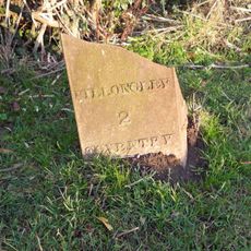
Milepost Approximately 12 Metres North West Of Slowley Green Cottage (Not Included)
1.7 km
Blythe Lodge
4.3 km
Stone House Farmhouse
3.4 km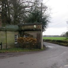
The Lodge At Fillongley Hall
3.4 km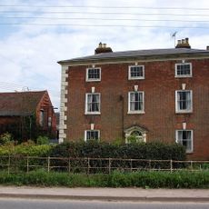
Monwode House Farmhouse
1 km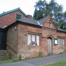
Village Hall
32 m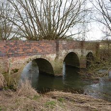
Blyth Hall Packhorse Bridge
4.3 km
Grassyard House
5 km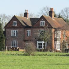
Manor House
736 mBeoordelingen
Heeft u deze plek bezocht? Tik op de sterren om een beoordeling te geven en uw ervaring of foto's te delen met de community! Probeer het nu! U kunt het op elk moment annuleren.
Ontdek verborgen schatten op elk avontuur!
Van karakteristieke kleine cafeetjes tot geheime uitzichtpunten – ontvlucht de drukte en vind plekken die echt bij jou passen. Onze app maakt het makkelijk: spraakzoekopdrachten, slimme filters, geoptimaliseerde routes en authentieke tips van reizigers wereldwijd. Download nu en beleef het avontuur op je smartphone!

Een nieuwe benadering van toeristische ontdekking❞
— Le Figaro
Alle plekken die de moeite waard zijn om te ontdekken❞
— France Info
Een uitstapje op maat in slechts een paar klikken❞
— 20 Minutes