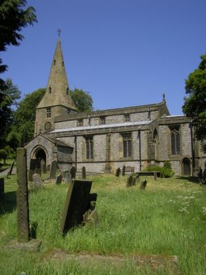
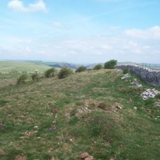
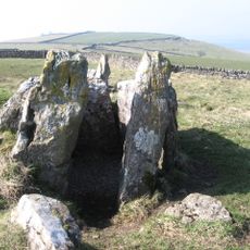
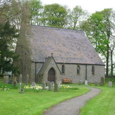
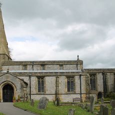
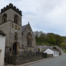
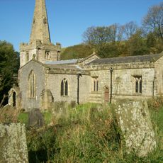
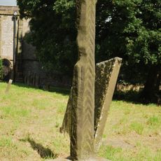
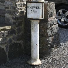
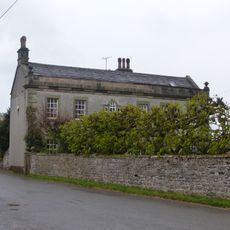
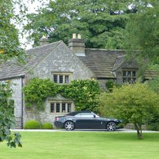
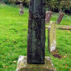
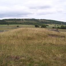
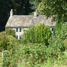
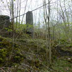
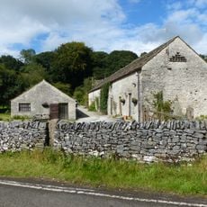
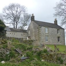
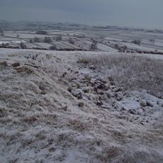
Taddington, plaats in Derbyshire
Locatie: Derbyshire Dales
Grenst aan: Blackwell, Chelmorton, Flagg, Sheldon, Little Longstone, Ashford in the Water, Brushfield, Litton, Tideswell, Wormhill
GPS-coördinaten: 53.23780,-1.79280
Laatste update: 7 maart 2025 om 02:03
Monsal Trail
4.1 km
Slow Train
2 km
Fin Cop
3.5 km
Five Wells
1.5 km
St Michael and All Angels' Church, Sheldon
4.3 km
Church of St Michael
209 m
Church of St Anne
2.1 km
Church of St John the Baptist
2.6 km
The 'Anglers Rest' Public House
2.2 km
Millers Dale Bridge 75
2.3 km
Cressbrook Mill
3.7 km
North Viaduct
2 km
Headstone Viaduct
4.3 km
Standing cross in the churchyard of St Michael and All Angels
236 m
Milepost at OS 143 711
393 m
Row of four lime kilns
2 km
South Viaduct
2 km
The Hall
721 m
Old Farmhouse, Town Head Farm
2.4 km
Churchyard cross 10 metres south of south transept of church
2.6 km
White Cliff bowl barrow
4.3 km
Chapelsteads Farmhouse
3.1 km
Putwell Hill Mine
3.6 km
Outbuilding To The South Of Chapelsteads Farmhouse
3 km
Milepost At Os 169 707
3.1 km
Highcliffe Farmhouse And Attached Barn
964 m
Taddington Field Farmhouse
2.2 km
Two bowl barrows on Chelmorton Low
2.6 kmHeeft u deze plek bezocht? Tik op de sterren om een beoordeling te geven en uw ervaring of foto's te delen met de community! Probeer het nu! U kunt het op elk moment annuleren.
Ontdek verborgen schatten op elk avontuur!
Van karakteristieke kleine cafeetjes tot geheime uitzichtpunten – ontvlucht de drukte en vind plekken die echt bij jou passen. Onze app maakt het makkelijk: spraakzoekopdrachten, slimme filters, geoptimaliseerde routes en authentieke tips van reizigers wereldwijd. Download nu en beleef het avontuur op je smartphone!
Een nieuwe benadering van toeristische ontdekking❞
— Le Figaro
Alle plekken die de moeite waard zijn om te ontdekken❞
— France Info
Een uitstapje op maat in slechts een paar klikken❞
— 20 Minutes