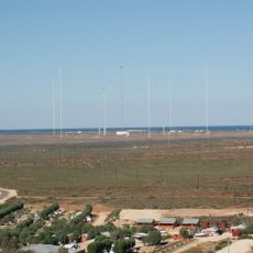
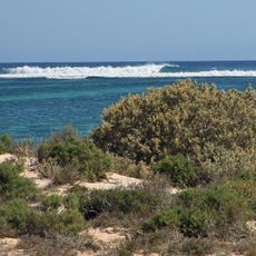
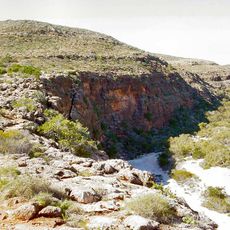
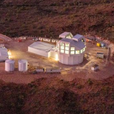
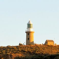
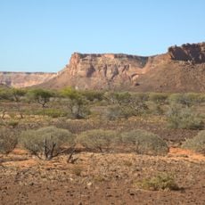
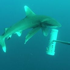
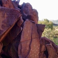
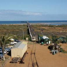
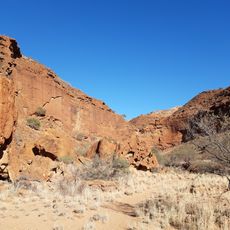
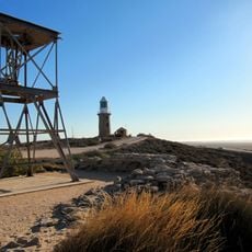
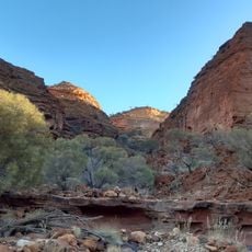
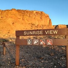
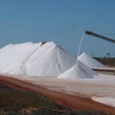
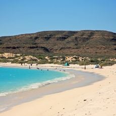
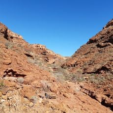
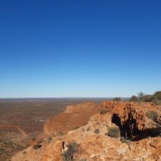
North West Cape, locality in Western Australia
Locatie: Western Australia
Locatie: Shire of Exmouth
GPS-coördinaten: -21.88309,114.13275
Laatste update: 12 maart 2025 om 21:01
Naval Communication Station Harold E. Holt
8.2 km
Ningaloo-kust met rif
108.5 km
Cape Range National Park
36.3 km
Space Surveillance Telescope
4.6 km
Gnaraloo
224.5 km
Dampier to Bunbury Natural Gas Pipeline
307.6 km
OTC Satellite Earth Station Carnarvon
335.3 km
Vlamingh Head lighthouse
8.6 km
Nationaal park Kennedy Range
314.4 km
Montebello Islands Marine Park
213.8 km
Murujuga National Park
315.4 km
One Mile Jetty
337.5 km
Babbage Island Lighthouse
337.1 km
One Mile Jetty and Tramway
337.4 km
Point Cloates Lighthouse
102.3 km
Rocky Pool, Gascoyne River
319.8 km
Honeycomb Gorge, Kennedy Range National Park
325.6 km
Vlamingh Head Lighthouse
8.6 km
Temple Gorge, Kennedy Range National Park
326.9 km
Sunrise View, Kennedy Range National Park
325.1 km
Karratha Public Library
308.9 km
Carnarvon Lighthouse Keeper's Cottage
337.1 km
Gascoyne River Bridge
329.9 km
Yardie Creek Gorge
59.2 km
Onslow Salt Stockpile
103.6 km
Beach, Cape Range National Park, West Australia
26.9 km
Drapers Gorge, Kennedy Range National Park
327.9 km
Escarpment trail, Kennedy Range National Park
327.6 kmHeeft u deze plek bezocht? Tik op de sterren om een beoordeling te geven en uw ervaring of foto's te delen met de community! Probeer het nu! U kunt het op elk moment annuleren.
Ontdek verborgen schatten op elk avontuur!
Van karakteristieke kleine cafeetjes tot geheime uitzichtpunten – ontvlucht de drukte en vind plekken die echt bij jou passen. Onze app maakt het makkelijk: spraakzoekopdrachten, slimme filters, geoptimaliseerde routes en authentieke tips van reizigers wereldwijd. Download nu en beleef het avontuur op je smartphone!
Een nieuwe benadering van toeristische ontdekking❞
— Le Figaro
Alle plekken die de moeite waard zijn om te ontdekken❞
— France Info
Een uitstapje op maat in slechts een paar klikken❞
— 20 Minutes