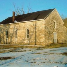
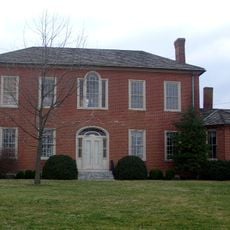
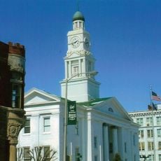
Mount Sterling, Kentucky
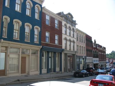
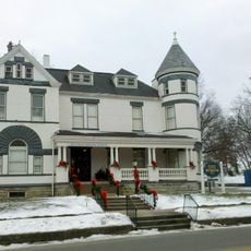
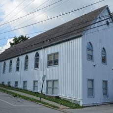
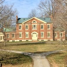
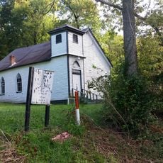
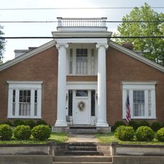
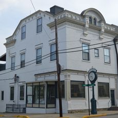
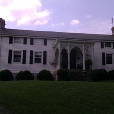
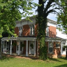
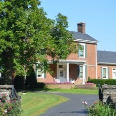
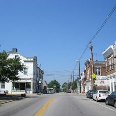
Mount Sterling is een kleine stad en de zetel van Montgomery County in Kentucky. Historische gebouwen omlijsten het centrum terwijl parken en open ruimtes de stad omringen, wat een indeling oplevert die commerciële, residentiële en recreatieve zones mengt.
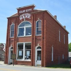
De stad ontwikkelde zich in de 19de eeuw als handelspost en groeide door zijn rol als zetel van Montgomery County. Wegen- en spoorweguitbreiding maakten het tot een lokaal knooppunt dat landbouwgebieden verbond en kleinschalige handel ondersteunde.
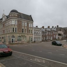
De naam komt van een natuurlijke bron die vroeger belangrijk was voor het gebied. Vandaag de dag zijn er in het centrum kleine winkels en ontmoetingsplaatsen waar buren elkaar ontmoeten en lokale tradities delen.
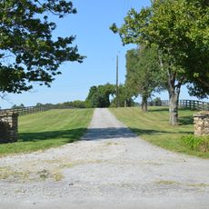
De stad is gemakkelijk bereikbaar met de auto en biedt parkeren in het centrum voor bezoekers. Wandelen door de straten stelt u in staat winkels en restaurants in uw eigen tempo te verkennen en de lokale indeling direct te ervaren.
De stad werd oorspronkelijk genoemd naar een natuurlijke bron met uitzonderlijk helder water die vroeger als ontmoetingspunt voor bewoners en reizigers diende. Deze waterbron beïnvloedde waar kolonisten de gemeenschap wilden vestigen.
De community van nieuwsgierige reizigers
AroundUs brengt duizenden geselecteerde plaatsen, lokale tips en verborgen pareltjes samen, dagelijks verrijkt door meer dan 60,000 bijdragers wereldwijd.