
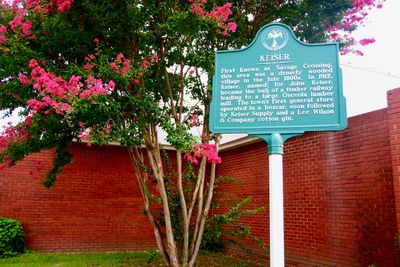
Keiser, Arkansas
Locatie: Mississippi County
Hoogte boven de zeespiegel: 70 m
GPS-coördinaten: 35.67444,-90.09611
Laatste update: 10 april 2025 om 04:06
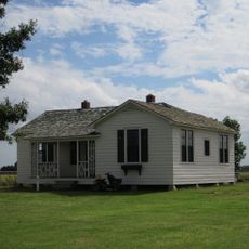
Farm No. 266—Johnny Cash Boyhood Home
16 km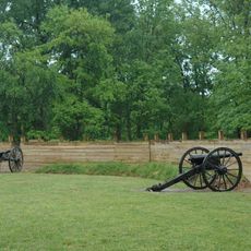
Fort Pillow State Park
23.4 km
Nodena Site
18.7 km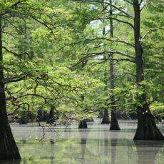
Big Lake National Wildlife Refuge
27 km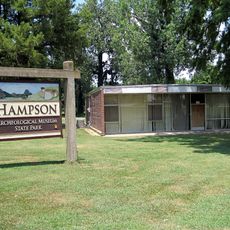
Hampson Archeological Museum State Park
12.6 km
Herman Davis State Park
23 km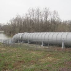
Marked Tree Lock and Siphons
31.7 km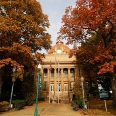
Mississippi County Courthouse
11.9 km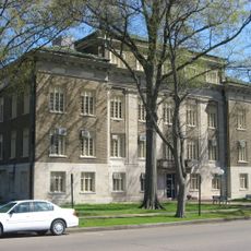
Mississippi County Courthouse
33.2 km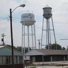
Tyronza Water Tower
31.3 km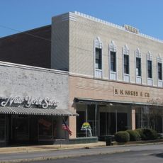
Kress Building
33.6 km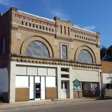
Bank of Osceola
12.1 km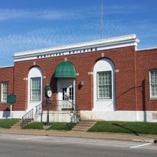
City Hall
11.8 km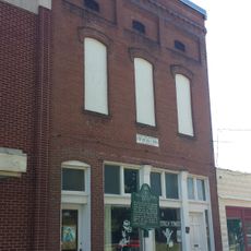
Osceola Times Building
12 km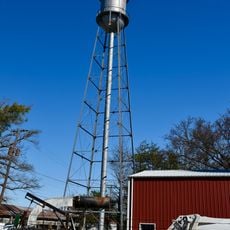
Keiser Water Tower
354 m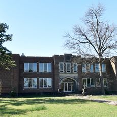
Keiser School
117 m
Hale Avenue Historic District
11.9 km
West Main Street Residential Historic District
32.6 km
Lepanto Commercial Historic District
22.3 km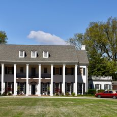
Wilson Residential Historic District
11.6 km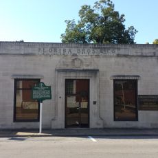
Florida Brothers Building
11.8 km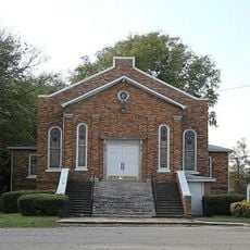
Tyronza Methodist Episcopal Church, South
31.5 km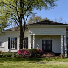
Wilson Community House
12.6 km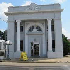
First National Bank Building
32.9 km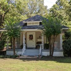
Chris Tompkins House
21.2 km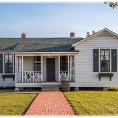
Johnny Cash Boyhood Home
16 km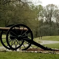
Fort Pillow State Historic Park
22.6 km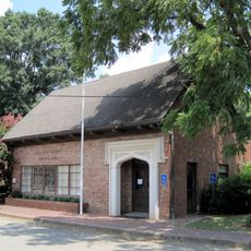
Wilson Commercial Historic District
12.7 kmBeoordelingen
Heeft u deze plek bezocht? Tik op de sterren om een beoordeling te geven en uw ervaring of foto's te delen met de community! Probeer het nu! U kunt het op elk moment annuleren.
Ontdek verborgen schatten op elk avontuur!
Van karakteristieke kleine cafeetjes tot geheime uitzichtpunten – ontvlucht de drukte en vind plekken die echt bij jou passen. Onze app maakt het makkelijk: spraakzoekopdrachten, slimme filters, geoptimaliseerde routes en authentieke tips van reizigers wereldwijd. Download nu en beleef het avontuur op je smartphone!

Een nieuwe benadering van toeristische ontdekking❞
— Le Figaro
Alle plekken die de moeite waard zijn om te ontdekken❞
— France Info
Een uitstapje op maat in slechts een paar klikken❞
— 20 Minutes