
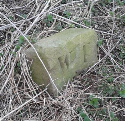
Boundary Stone At Ngr Se 871539, boundary marker in Warter, East Riding of Yorkshire, UK
Locatie: Warter
Onderdeel van: political border
GPS-coördinaten: 53.97432,-0.67337
Laatste update: 2 maart 2025 om 21:16
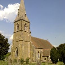
St James' Church, Warter
3.5 km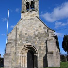
Church of Saint Giles
8.4 km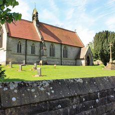
Church of Saint Mary
7.7 km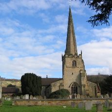
Church of St Edith
7.4 km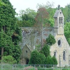
Church of St. Helen
6.1 km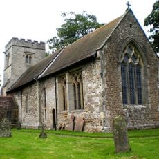
Church of Saint James
6.6 km
Church of St Mary
5.3 km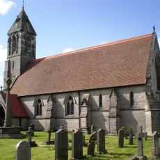
Church of St Mary
7.1 km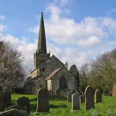
Church of St. Mary
1.9 km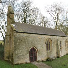
Church of Saint Ethelburgh
5.8 km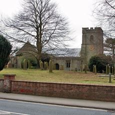
Church of St Nicholas
8 km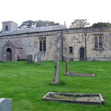
Church of St Margaret
4.6 km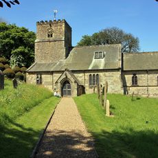
Church of All Saints
7.8 km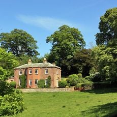
Painsthorpe Hall
7.3 km
Church of All Saints
6.6 km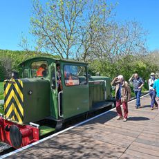
Yorkshire Wolds Railway
7.9 km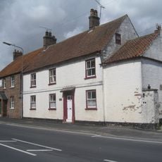
Woods Farmhouse
8.1 km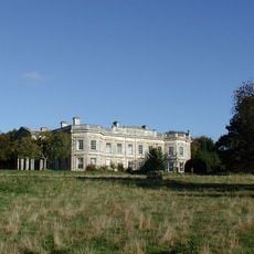
Kilnwick Percy Hall
6.1 km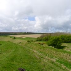
Sections of single and multiple linear boundary dykes on Huggate Pasture and Frendal Dale
2.2 km
Wetwang House
8.1 km
Manor Farmhouse
8.1 km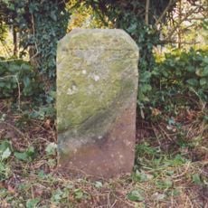
Milestone About 155 Metres West Of Brickyard Cottages
4.3 km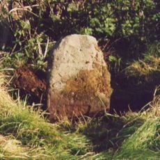
Milestone, W of entrance to Fimber Field Farm
6.1 km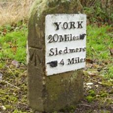
Milestone, E end of Fimber village
7.2 km
Milestone, just N of Middleton on the Wolds
8 km
Milestone, entrance to Wold House Farm (east entrance)
3.9 km
Milestone, ¾mile from Fridaythorpe on Fimber Road
5.8 km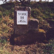
Milestone, 100m E of the Crucification memorial
7.2 kmBeoordelingen
Heeft u deze plek bezocht? Tik op de sterren om een beoordeling te geven en uw ervaring of foto's te delen met de community! Probeer het nu! U kunt het op elk moment annuleren.
Ontdek verborgen schatten op elk avontuur!
Van karakteristieke kleine cafeetjes tot geheime uitzichtpunten – ontvlucht de drukte en vind plekken die echt bij jou passen. Onze app maakt het makkelijk: spraakzoekopdrachten, slimme filters, geoptimaliseerde routes en authentieke tips van reizigers wereldwijd. Download nu en beleef het avontuur op je smartphone!

Een nieuwe benadering van toeristische ontdekking❞
— Le Figaro
Alle plekken die de moeite waard zijn om te ontdekken❞
— France Info
Een uitstapje op maat in slechts een paar klikken❞
— 20 Minutes