
Milestone Su 5563 8525, milestone in Aston Tirrold, South Oxfordshire, Oxfordshire, UK
Locatie: Aston Tirrold
Ontstaan: 18e eeuw
GPS-coördinaten: 51.56339,-1.19886
Laatste update: 3 maart 2025 om 02:38

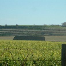
Blewburton Hill
1.3 km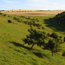
Aston Upthorpe Downs
2.2 km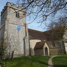
Church of St Michael
828 m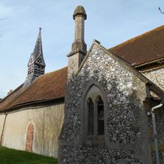
Church of All Saints
964 m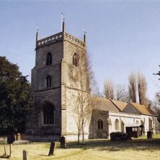
Church of St Michael
2.6 km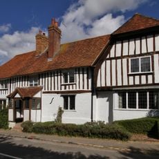
Corrydon House
2.7 km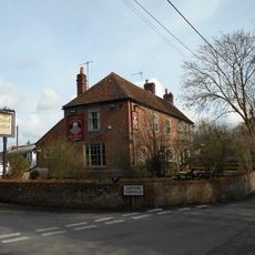
The Chequers Inn Public House
929 m
Turnpike House
2.5 km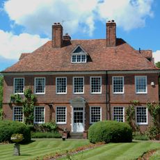
The Manor House
830 m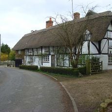
Dragonwyke And Winding Way Cottage
2.3 km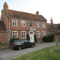
Malthus Schoolhouse
2.6 km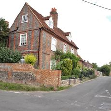
Edlins
1.1 km
Stocks
2.7 km
9, Aston Street
654 m
Great Tree and Ilburys
2.6 km
3, Treble House Terrace
2.6 km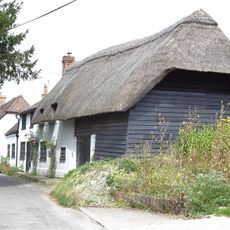
The Old Bakehouse
593 m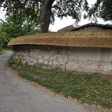
Clunch Wall approximately 35 metres East of Orchrd Dene House, at junction with South Street
2.3 km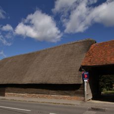
Great Tree Farm Barn And Attached Covered Gateway
2.6 km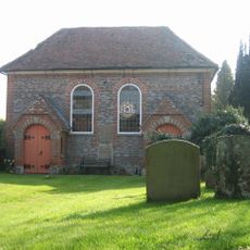
United Reform Church And Vestry
792 m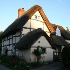
Laurences
2.7 km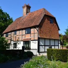
Nottingham Fee House
2.6 km
The Manse
770 m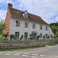
Crossways
691 m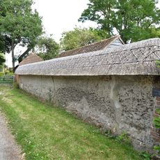
Cob Wall approximately 20 metres south west of numbers 1 and 2 Aston Street
766 m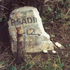
Milestone At Su 5685 8425
1.6 km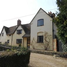
Thorpe Farmhouse And Barn
969 m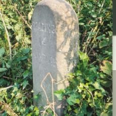
Milestone, Blewbury Hill; W of Blewbury Farm, Baldon Hill
1.6 kmBeoordelingen
Heeft u deze plek bezocht? Tik op de sterren om een beoordeling te geven en uw ervaring of foto's te delen met de community! Probeer het nu! U kunt het op elk moment annuleren.
Ontdek verborgen schatten op elk avontuur!
Van karakteristieke kleine cafeetjes tot geheime uitzichtpunten – ontvlucht de drukte en vind plekken die echt bij jou passen. Onze app maakt het makkelijk: spraakzoekopdrachten, slimme filters, geoptimaliseerde routes en authentieke tips van reizigers wereldwijd. Download nu en beleef het avontuur op je smartphone!

Een nieuwe benadering van toeristische ontdekking❞
— Le Figaro
Alle plekken die de moeite waard zijn om te ontdekken❞
— France Info
Een uitstapje op maat in slechts een paar klikken❞
— 20 Minutes