
Aston Tirrold, plaats in Oxfordshire
Locatie: South Oxfordshire
Grenst aan: Aston Upthorpe, Cholsey, South Moreton
Website: http://theastons.net
GPS-coördinaten: 51.57000,-1.19800
Laatste update: 3 maart 2025 om 00:52
Blewburton Hill
1 km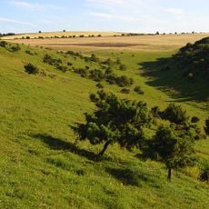
Aston Upthorpe Downs
2.8 km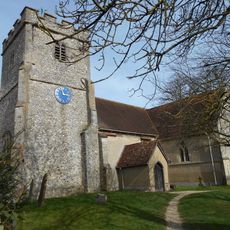
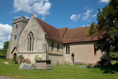
Church of St Michael
92 m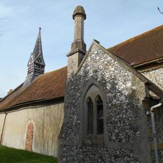
Church of All Saints
433 m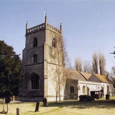
Church of St Michael
2.5 km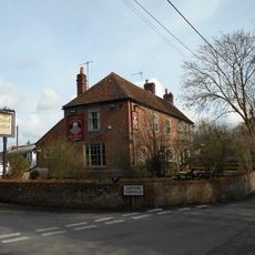
The Chequers Inn Public House
295 m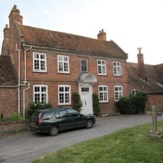
Malthus Schoolhouse
2.6 km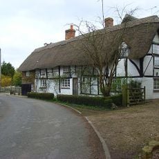
Dragonwyke And Winding Way Cottage
2.3 km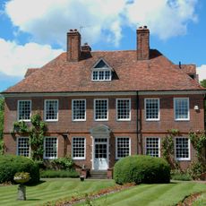
The Manor House
93 m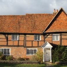
Turnpike House
2.5 km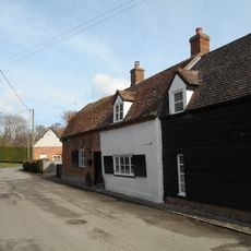
9, Aston Street
84 m
Clunch Wall approximately 35 metres East of Orchrd Dene House, at junction with South Street
2.3 km
Edlins
495 m
Great Tree and Ilburys
2.7 km
3, Treble House Terrace
2.6 km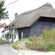
The Old Bakehouse
208 m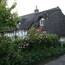
Stocks
2.7 km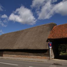
Great Tree Farm Barn And Attached Covered Gateway
2.7 km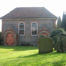
United Reform Church And Vestry
278 m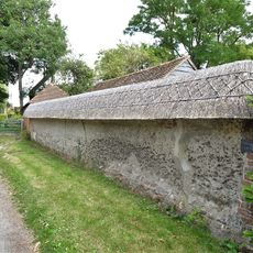
Cob Wall approximately 20 metres south west of numbers 1 and 2 Aston Street
61 m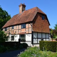
Nottingham Fee House
2.7 km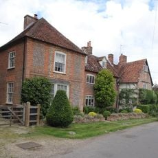
The Manse
212 m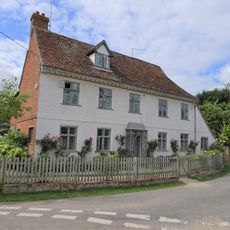
Crossways
50 m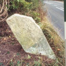
Milestone Su 5563 8525
738 m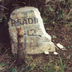
Milestone At Su 5685 8425
2.1 km
Thorpe Farmhouse And Barn
451 m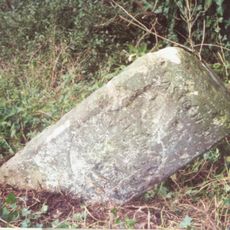
Milestone, Moulsford Bottom, where hill rises to E
3.6 km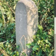
Milestone, Blewbury Hill; W of Blewbury Farm, Baldon Hill
1.7 kmBeoordelingen
Heeft u deze plek bezocht? Tik op de sterren om een beoordeling te geven en uw ervaring of foto's te delen met de community! Probeer het nu! U kunt het op elk moment annuleren.
Ontdek verborgen schatten op elk avontuur!
Van karakteristieke kleine cafeetjes tot geheime uitzichtpunten – ontvlucht de drukte en vind plekken die echt bij jou passen. Onze app maakt het makkelijk: spraakzoekopdrachten, slimme filters, geoptimaliseerde routes en authentieke tips van reizigers wereldwijd. Download nu en beleef het avontuur op je smartphone!

Een nieuwe benadering van toeristische ontdekking❞
— Le Figaro
Alle plekken die de moeite waard zijn om te ontdekken❞
— France Info
Een uitstapje op maat in slechts een paar klikken❞
— 20 Minutes