
Kenderchurch, former civil parish in Herefordshire, England, UK
Locatie: Herefordshire
Locatie: Kilpeck
GPS-coördinaten: 51.95100,-2.87000
Laatste update: 6 maart 2025 om 06:58
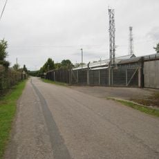
Pontrilas Army Training Area
1.7 km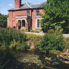
Abbey Dore Court
2.9 km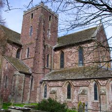
Dore Abbey
2.5 km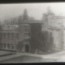
Kentchurch Court
3.2 km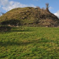
Ewyas Harold Castle
1.8 km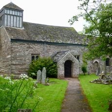
St James's Church
3 km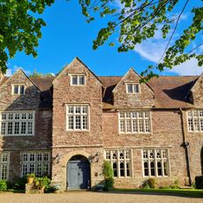
Pontrilas Court
1.2 km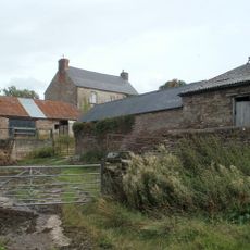
Great House Farm
2.7 km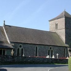
Church of St Michael and All Angels
1.6 km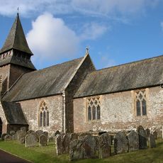
Church of St Mary
3.2 km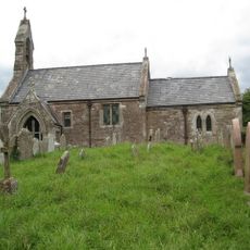
Church of St Mary
18 m
Church of St Peter
3.2 km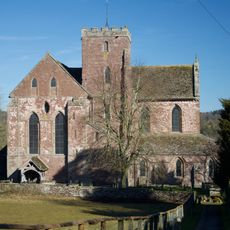
Church of St Mary
2.5 km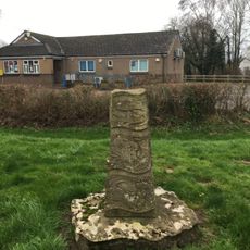
The Obelisk
1.4 km
Grosmont Bridge
2.8 km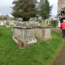
Group of 7 monuments about 10-20 yards south and south-west of the south porch of the Church of St Mary
2.5 km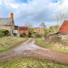
Cwm Farmhouse
3 km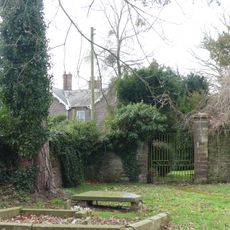
Gates and gate piers about 30 yards north-north-east of The Old Rectory
2.5 km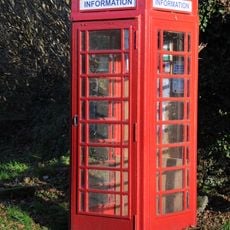
K6 Telephone Kiosk Outside Kentchurch Post Office
2.8 km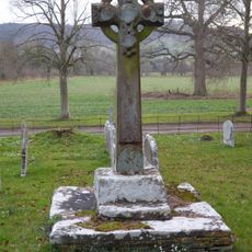
Churchyard cross in St Mary's churchyard
3.2 km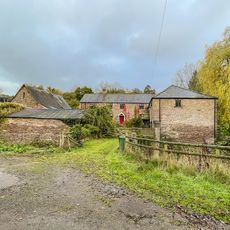
Bannut Tree Farmhouse
3 km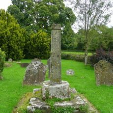
Cross in St James's Churchyard
3 km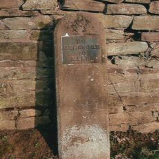
Milestone, Howton Farm
1.3 km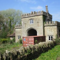
The Lodge
2.8 km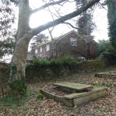
Stables about 25 yards north-east of The Old Rectory
2.5 km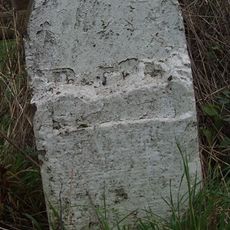
Milestone, Howton Grove Farm
2.9 km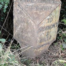
Milepost, Elms Farm
2 km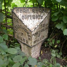
Milepost, Dore; 10m N Dicks Pitch turn
2.1 kmHeeft u deze plek bezocht? Tik op de sterren om een beoordeling te geven en uw ervaring of foto's te delen met de community! Probeer het nu! U kunt het op elk moment annuleren.
Ontdek verborgen schatten op elk avontuur!
Van karakteristieke kleine cafeetjes tot geheime uitzichtpunten – ontvlucht de drukte en vind plekken die echt bij jou passen. Onze app maakt het makkelijk: spraakzoekopdrachten, slimme filters, geoptimaliseerde routes en authentieke tips van reizigers wereldwijd. Download nu en beleef het avontuur op je smartphone!

Een nieuwe benadering van toeristische ontdekking❞
— Le Figaro
Alle plekken die de moeite waard zijn om te ontdekken❞
— France Info
Een uitstapje op maat in slechts een paar klikken❞
— 20 Minutes