
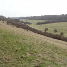
Site of manor house in Netherne Wood
Site of manor house in Netherne Wood, archaeological site in Reigate and Banstead, Surrey, England, UK
Locatie: Reigate and Banstead
GPS-coördinaten: 51.28820,-0.14750
Laatste update: 4 april 2025 om 17:36
Happy Valley Park
2.4 km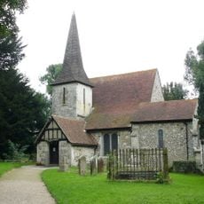
Church of St Peter and St Paul
1.6 km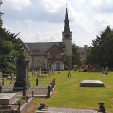
St Andrew's Church
3.6 km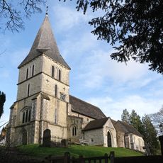
Church of St Katharine, Merstham
2.2 km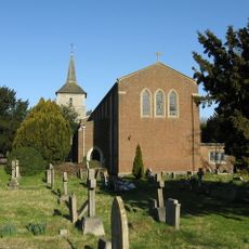
Church of St John the Evangelist
3 km
Chapel Of St Michael The Archangel, Caterham Guards Depot
3.2 km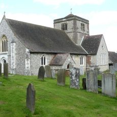
Church of St Margaret, Hooley
1 km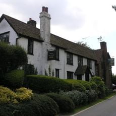
Well House Inn
3.5 km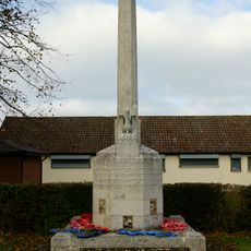
Old Coulsdon War Memorial
2.9 km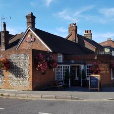
The King And Queen Public House
4.1 km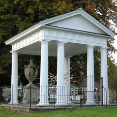
Gatton Town Hall
3.6 km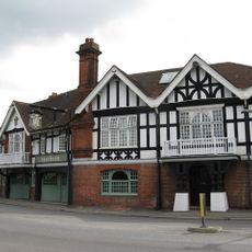
The Feathers Hotel
2.6 km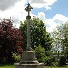
Chipstead War Memorial
1.1 km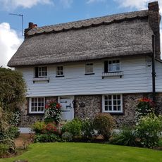
The Thatched Cottage
3.8 km
84, High Street
4.2 km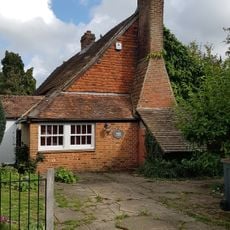
The Old Forge
4.2 km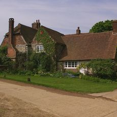
Tollsworth Manor House
1.9 km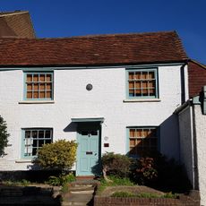
33, High Street
4.1 km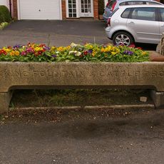
Drinking Fountain And Cattle Trough To East Of Nos 27 And 29
2.7 km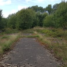
Group of four World War II fighter pens at the former airfield of RAF Kenley
3.9 km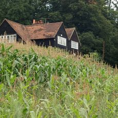
Hoath Farm House
1.7 km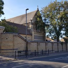
Piers And Walls To Churchyard Of St Michael, Caterham Guards Depot
3.2 km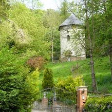
Dovecot In Grounds To North Of Wellhead
2.1 km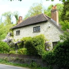
Wellhead
2.1 km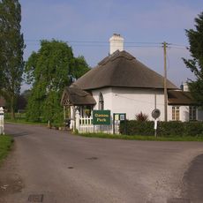
North Lodge, Including Fence And Gate
3.2 km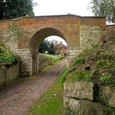
Viaduct
3.5 km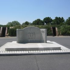
RAF Kenley Memorial
3.7 km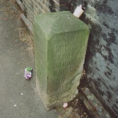
Milestone, Brighton Road, Coulsdon, under railway bridge
3.2 kmBeoordelingen
Heeft u deze plek bezocht? Tik op de sterren om een beoordeling te geven en uw ervaring of foto's te delen met de community! Probeer het nu! U kunt het op elk moment annuleren.
Ontdek verborgen schatten op elk avontuur!
Van karakteristieke kleine cafeetjes tot geheime uitzichtpunten – ontvlucht de drukte en vind plekken die echt bij jou passen. Onze app maakt het makkelijk: spraakzoekopdrachten, slimme filters, geoptimaliseerde routes en authentieke tips van reizigers wereldwijd. Download nu en beleef het avontuur op je smartphone!

Een nieuwe benadering van toeristische ontdekking❞
— Le Figaro
Alle plekken die de moeite waard zijn om te ontdekken❞
— France Info
Een uitstapje op maat in slechts een paar klikken❞
— 20 Minutes