Twin Rivers, civil parish in East Riding of Yorkshire, England, UK
Locatie: East Riding of Yorkshire
Website: http://twinrivers.org.uk
GPS-coördinaten: 53.68333,-0.73333
Laatste update: 7 maart 2025 om 17:44
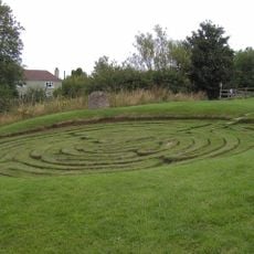
Julian's Bower
4.3 km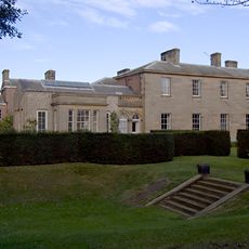
Saltmarshe Hall
6.1 km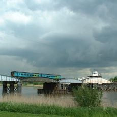
Goole railway swing bridge
7.9 km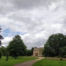
Normanby Hall Country Park
6.8 km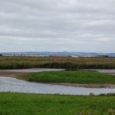
Blacktoft Sands RSPB reserve
1.9 km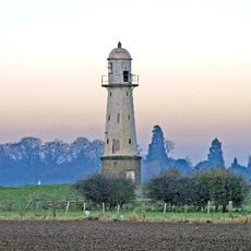
Whitgift Lighthouse
2.4 km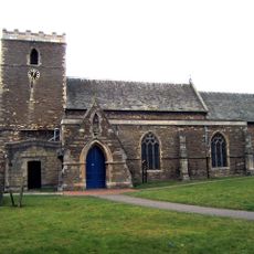
Church of St Andrew, Burton upon Stather
4.9 km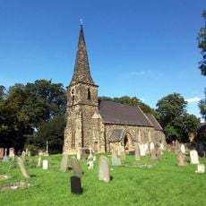
Church of St Mark
7.6 km
Church of Saint Mary Magdalene, Whitgift
3.1 km
Church of Saint Bartholomew
5.8 km
Church of Saint Oswald
4.3 km
Church of All Saints
7.4 km
Church of Saint John the Baptist
4.5 km
Church of Holy Trinity
2.8 km
Remains Of Old Church
6 km
Church of All Saints
813 m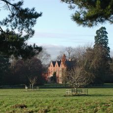
Yokefleet Hall
2.9 km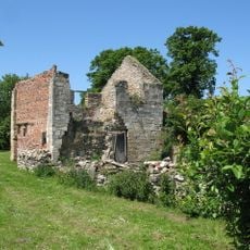
The Old Rectory
838 m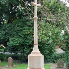
Whitgift War Memorial
3.1 km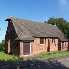
St Mary The Virgin
2.8 km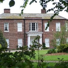
Walcot Hall
4 km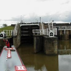
Weighton Lock
5.5 km
West Lodge And Gates, Gate Piers Connecting Wall And Railings And Outer Piers Immediately To West
3.1 km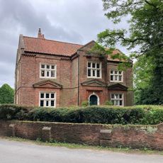
Walcot Old Hall
4.1 km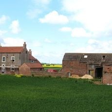
The Beeches
3.6 km
Amcotts War Memorial
7.7 km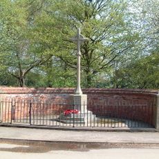
Eastoft War Memorial
6.2 km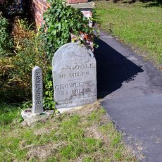
Milestone, ExYW at jct with B1392, in front of house opp. PH
6.3 kmHeeft u deze plek bezocht? Tik op de sterren om een beoordeling te geven en uw ervaring of foto's te delen met de community! Probeer het nu! U kunt het op elk moment annuleren.
Ontdek verborgen schatten op elk avontuur!
Van karakteristieke kleine cafeetjes tot geheime uitzichtpunten – ontvlucht de drukte en vind plekken die echt bij jou passen. Onze app maakt het makkelijk: spraakzoekopdrachten, slimme filters, geoptimaliseerde routes en authentieke tips van reizigers wereldwijd. Download nu en beleef het avontuur op je smartphone!

Een nieuwe benadering van toeristische ontdekking❞
— Le Figaro
Alle plekken die de moeite waard zijn om te ontdekken❞
— France Info
Een uitstapje op maat in slechts een paar klikken❞
— 20 Minutes