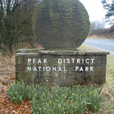
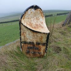
High Peak, Parliamentary constituency in the United Kingdom, 1885 onwards
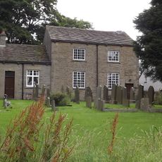
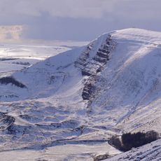
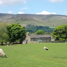
High Peak is een kiesdistrict van het House of Commons gelegen in de regio East Midlands in Engeland. Het kiesdistrict omvat verschillende steden en gemeenschappen in een divers gebied met zowel plattelandsgebieden als kleine stedelijke centra.
Het kiesdistrict werd ingesteld als onderdeel van de hervorming van het Britse kiesstelsel en vertegenwoordigt dit geografische gebied sinds zijn oprichting in parlementsverkiezingen. De grenzen zijn in de loop der jaren meerdere keren herzien om demografische veranderingen weer te geven.
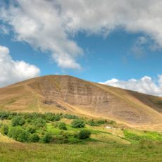
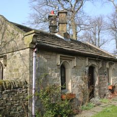
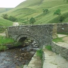
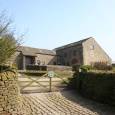
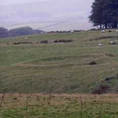
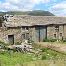
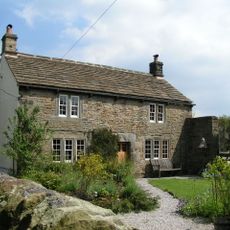
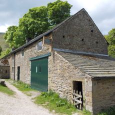
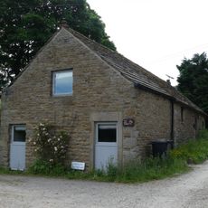
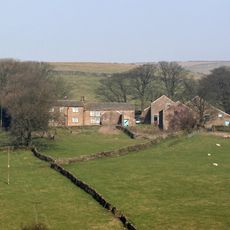
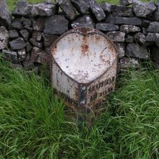
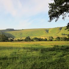
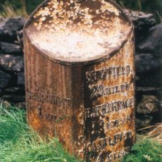
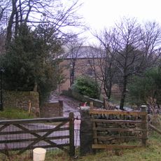
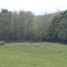
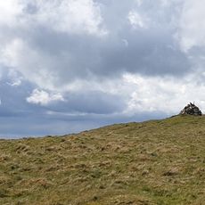
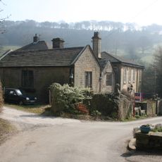
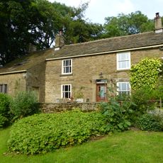
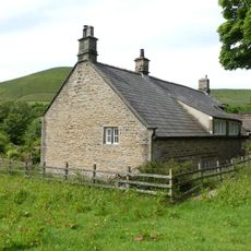
Als kiesdistrict is High Peak geen traditionele bestemming maar biedt het de mogelijkheid om de verschillende steden en dorpen binnen de grenzen te bezoeken. Het gebied verkent best in mild weer wanneer je comfortabel de verschillende gemeenschappen en hun lokale attracties kunt bezoeken.
De community van nieuwsgierige reizigers
AroundUs brengt duizenden geselecteerde plaatsen, lokale tips en verborgen pareltjes samen, dagelijks verrijkt door meer dan 60,000 bijdragers wereldwijd.