
West Hendred, village and civil parish in Vale of White Horse, Oxfordshire, England
Locatie: Vale of White Horse
GPS-coördinaten: 51.59483,-1.35184
Laatste update: 11 april 2025 om 23:54
The Ridgeway
3.5 km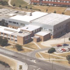
Atlas Computer Laboratory
3.4 km
Scutchamer Knob
3.7 km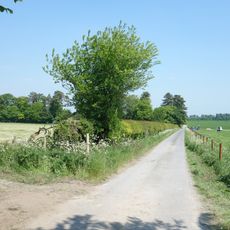
Lockinge Estate
2 km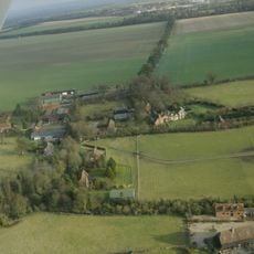
Ginge Manor
2.2 km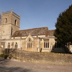
Church of St Augustine of Canterbury
935 m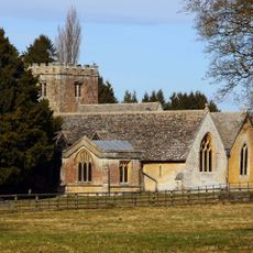
Church of All Saints
2.6 km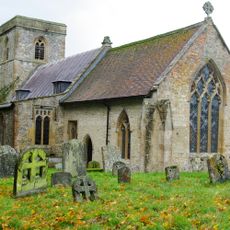
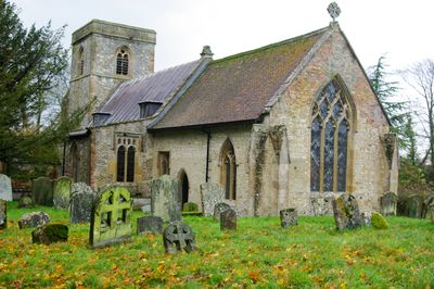
Church of the Holy Trinity
447 m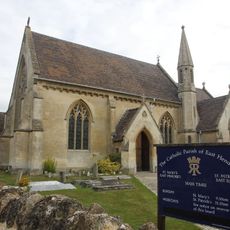
Roman Catholic Church of Saint Mary, East Hendred
1.1 km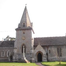
Church of the Holy Trinity
1.9 km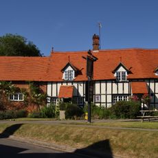
The Wheatsheaf Public House
1.1 km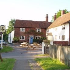
Eyston Arms Public House
1.1 km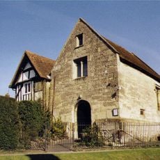
Jesus Chapel And Attached House
1.1 km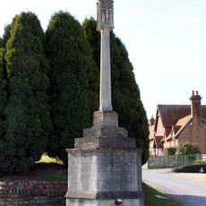
Lockinge War Memorial
2.8 km
Grim's Ditch: section W of Chilton Plantation
4.3 km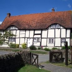
Godfreys Farm
1.1 km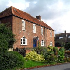
Parsonage Farmhouse
3.9 km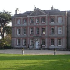
Ardington House
1.7 km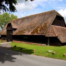
Lain's Barn
2.7 km
Scutchamore Knob
3.7 km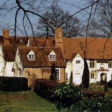
Hendred House And St Amands Chapel
1.1 km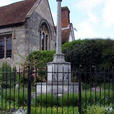
East Hendred War Memorial
1.1 km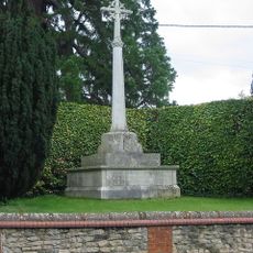
Ardington War Memorial
1.9 km
Grim's Ditch; section S of Tile Barn
3.1 km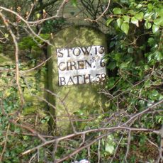
Milestone, Reading Road; W of the Hare PH
786 m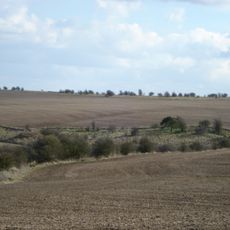
East Hendred Down bowl barrow
3.9 km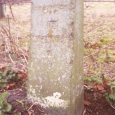
Milestone, Portway; E of Lain's Barn turn
2.3 km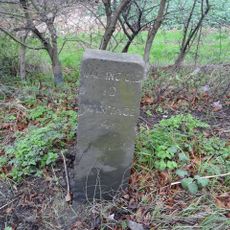
Milestone, Reading Road; opp. White Road
1.3 kmHeeft u deze plek bezocht? Tik op de sterren om een beoordeling te geven en uw ervaring of foto's te delen met de community! Probeer het nu! U kunt het op elk moment annuleren.
Ontdek verborgen schatten op elk avontuur!
Van karakteristieke kleine cafeetjes tot geheime uitzichtpunten – ontvlucht de drukte en vind plekken die echt bij jou passen. Onze app maakt het makkelijk: spraakzoekopdrachten, slimme filters, geoptimaliseerde routes en authentieke tips van reizigers wereldwijd. Download nu en beleef het avontuur op je smartphone!

Een nieuwe benadering van toeristische ontdekking❞
— Le Figaro
Alle plekken die de moeite waard zijn om te ontdekken❞
— France Info
Een uitstapje op maat in slechts een paar klikken❞
— 20 Minutes