
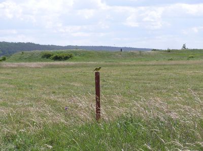
Seredžius Landscape Reserve
Locatie: Kaunas District Municipality
GPS-coördinaten: 55.07750,23.40861
Laatste update: 25 september 2025 om 08:41
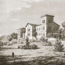
Belvederis Manor
1.2 km
Veliuonos piliakalniai
8.1 km
Pieštvė
334 m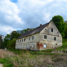
Ilguva Manor
5.6 km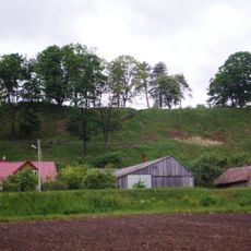
Veliuonos I piliakalnis
8.2 km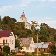
Church of the Assumption, Veliuona
8.5 km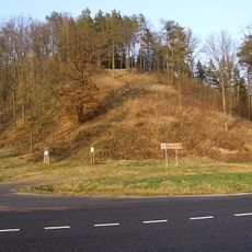
Ringovės piliakalnis
7.7 km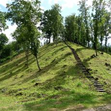
Žemosios Panemunės piliakalnis
4.2 km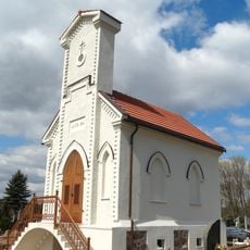
Veliuona Cemetery Chapel
9.9 km
Church of St. John the Baptist, Seredžius
570 m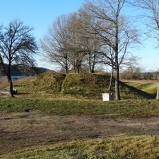
Veliuonos II piliakalnis
10.7 km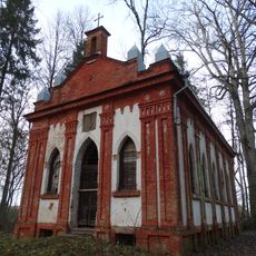
Belvederis chapel
1.1 km
Synagogue of Čekiškė
11.4 km
Seredžius 2nd hillfort
407 m
Stanislava manor
4.6 km
Church of the Discovery of the Holy Cross, Ilguva
5.8 km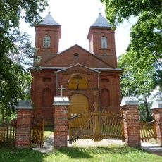
Church of the Holy Guardian Angels, Paežerėliai
2.9 km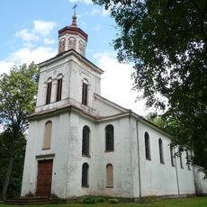
Church of Saint Vincent de Paul, Žemoji Panemunė
5.2 km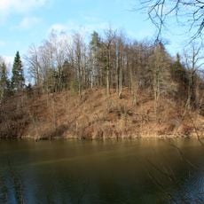
Butviloniai hillfort
5.5 km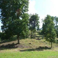
Žuklijai hillfort
3.7 km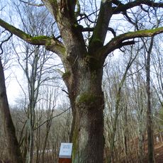
Ilguva oak
5.8 km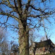
Papiškių ąžuolas
5 km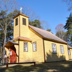
Kretkampis church
8.9 km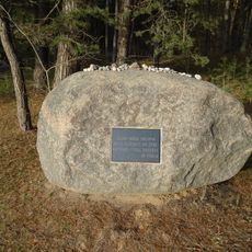
Skrebenai Holocaust Memorial
4 km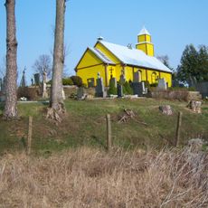
Chapel in Krūvandai
8.3 km
Dulinčiškių piliakalnis
6.1 km
Seredžiaus kapinynas
171 m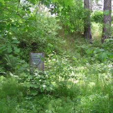
Pašilių piliakalnis
8.7 kmHeeft u deze plek bezocht? Tik op de sterren om een beoordeling te geven en uw ervaring of foto's te delen met de community! Probeer het nu! U kunt het op elk moment annuleren.
Ontdek verborgen schatten op elk avontuur!
Van karakteristieke kleine cafeetjes tot geheime uitzichtpunten – ontvlucht de drukte en vind plekken die echt bij jou passen. Onze app maakt het makkelijk: spraakzoekopdrachten, slimme filters, geoptimaliseerde routes en authentieke tips van reizigers wereldwijd. Download nu en beleef het avontuur op je smartphone!

Een nieuwe benadering van toeristische ontdekking❞
— Le Figaro
Alle plekken die de moeite waard zijn om te ontdekken❞
— France Info
Een uitstapje op maat in slechts een paar klikken❞
— 20 Minutes