
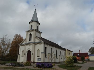
Evangelical Lutheran Church in Šakiai, kerkgebouw
Locatie: Šakiai District Municipality
GPS-coördinaten: 54.95427,23.02766
Laatste update: 25 september 2025 om 08:40

Raudonė Castle
17.2 km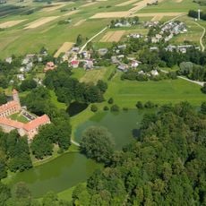
Panemunė Castle
16.4 km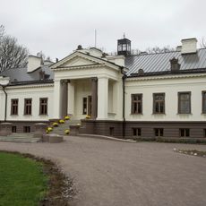
Gelgaudiškis Manor
14.2 km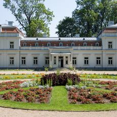
Zypliai Manor
10.7 km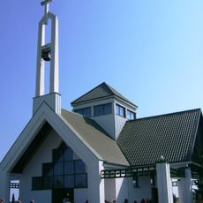
Keturnaujiena chapel
13.8 km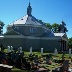
Church of the transfiguration of Jesus Christ in Griškabūdis
14.8 km
Church of St. John the Baptist, Šakiai
1.1 km
Bisenė
16.5 km
Church of the Assumption, Sintautai
8.5 km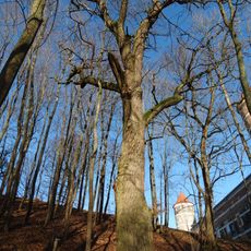
Gelgaudų ąžuolas
16.3 km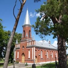
Church of the Exaltation of the Holy Cross, Gelgaudiškis
14.6 km
Maštaičiai hillfort
15.7 km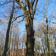
Gediminaičio ąžuolas
17.1 km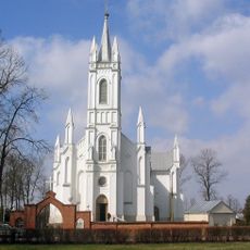
Church of St. Joseph, Lukšiai
9 km
Raudonės liepa
17.2 km
Plokščiai hillfort
16.8 km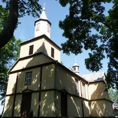
Church of the Holy Name of the Virgin Mary, Plokščiai
17 km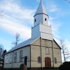
Evangelical Lutheran Church in Skirsnemunė
16.7 km
Zamkaus dvaras
16.5 km
Raudonės juodoji tuopa
17 km
Rathaus Šakiai
1 km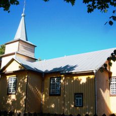
Church of the Holy Guardian Angels, Paluobiai
16.9 km
Zypliai oak
11 km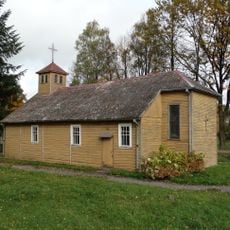
Church of Saint Mary of the Angels, Valakbūdis
9.2 km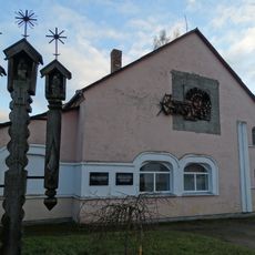
Salesian chapel, Vytėnai
16.5 km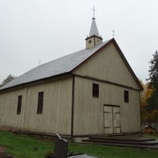
Chapel in Plieniškiai
5 km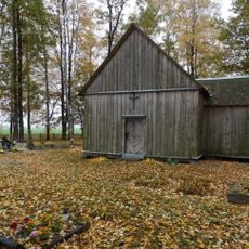
Šilgaliai chapel
11.2 km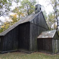
Staliorių koplyčia
16.4 kmHeeft u deze plek bezocht? Tik op de sterren om een beoordeling te geven en uw ervaring of foto's te delen met de community! Probeer het nu! U kunt het op elk moment annuleren.
Ontdek verborgen schatten op elk avontuur!
Van karakteristieke kleine cafeetjes tot geheime uitzichtpunten – ontvlucht de drukte en vind plekken die echt bij jou passen. Onze app maakt het makkelijk: spraakzoekopdrachten, slimme filters, geoptimaliseerde routes en authentieke tips van reizigers wereldwijd. Download nu en beleef het avontuur op je smartphone!

Een nieuwe benadering van toeristische ontdekking❞
— Le Figaro
Alle plekken die de moeite waard zijn om te ontdekken❞
— France Info
Een uitstapje op maat in slechts een paar klikken❞
— 20 Minutes