
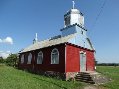
Old Believers Church in Maineivos, kerkgebouw
Locatie: Rokiškis District Municipality
GPS-coördinaten: 56.09642,25.45985
Laatste update: 25 september 2025 om 08:41
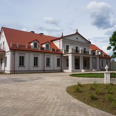
Ilzenberg Manor
8.1 km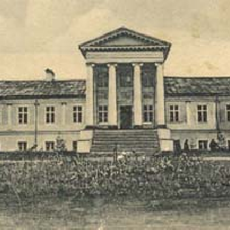
Onuškis Manor
6.5 km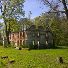
Nereta Manor
12 km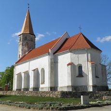
Lutheran church in Nereta
15.3 km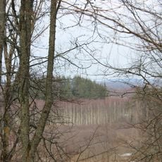
Margos kalnas
8.7 km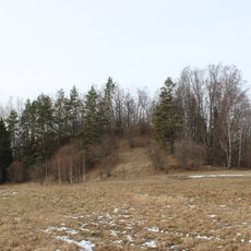
Stupeļu hillfort
8.2 km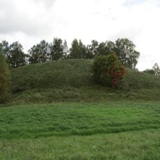
Kņāvu pilskalns
15 km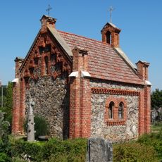
Calvaries in Rokiškis
15.5 km
Moškėnų piliakalnis
14.3 km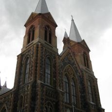
Church of St. Peter and St. Paul, Čedasai
2.7 km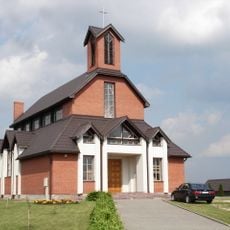
Roman Catholic church in Nereta
14.8 km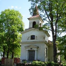
Lutheran church in Elkšņi
15.4 km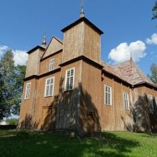
Church of St. Michael the Archangel, Onuškis
5.8 km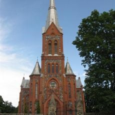
Church of St. Michael the Archangel, Žiobiškis
8.5 km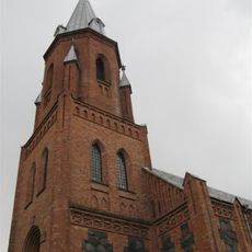
Church of the Holy Trinity, Panemunis
11.6 km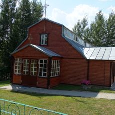
Church of Our Lady of the Gate of Dawn, Juodupė
9.1 km
Aizdumbles purvs
9.7 km
Church of St. James the Apostle, Suvainiškis
13.4 km
Kalneliškiai chapel
14.8 km
Bryzgių piliakalnis
5.4 km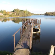
Žiobiškio tvenkinys
9.1 km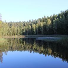
Vaidlėnai pond
9.6 km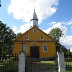
Church of the Blessed Virgin Mary, Kazliškis
12.5 km
Grodzisko Zabłocie
6.1 km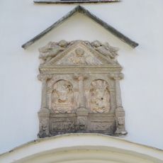
Cilnis fasādē
15.4 km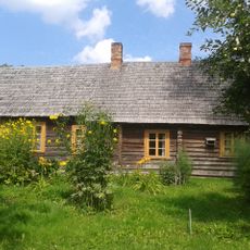
Jānis Jaunsudrabiņš Museum "Riekstiņi"
12.2 km
Kapa plāksne - piemineklis V.Efernam
15.4 km
Pils
12 kmHeeft u deze plek bezocht? Tik op de sterren om een beoordeling te geven en uw ervaring of foto's te delen met de community! Probeer het nu! U kunt het op elk moment annuleren.
Ontdek verborgen schatten op elk avontuur!
Van karakteristieke kleine cafeetjes tot geheime uitzichtpunten – ontvlucht de drukte en vind plekken die echt bij jou passen. Onze app maakt het makkelijk: spraakzoekopdrachten, slimme filters, geoptimaliseerde routes en authentieke tips van reizigers wereldwijd. Download nu en beleef het avontuur op je smartphone!

Een nieuwe benadering van toeristische ontdekking❞
— Le Figaro
Alle plekken die de moeite waard zijn om te ontdekken❞
— France Info
Een uitstapje op maat in slechts een paar klikken❞
— 20 Minutes