
Vidiškės, dorp in Litouwen
Locatie: Ignalina District Municipality
Hoogte boven de zeespiegel: 180 m
GPS-coördinaten: 55.37500,26.21110
Laatste update: 20 maart 2025 om 16:39

Protected area of Lithuania
8.8 km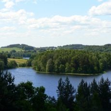
Nationaal Park Aukštaitija
10.3 km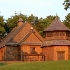
Church of St. Joseph, Palūšė
8.6 km
Ginučiai hillfort
14.3 km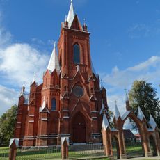
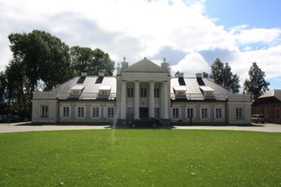
Church of the Visitation, Vidiškės
348 m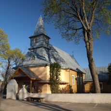
Church of the Holy Name of the Virgin Mary, Ceikiniai
13.8 km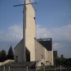
Church of the Nativity of the Virgin Mary, Ignalina
5 km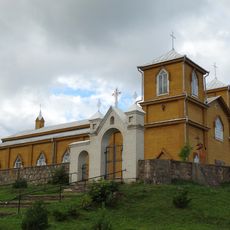
Church of Saints Joachim and Anne, Naujasis Daugėliškis
5.6 km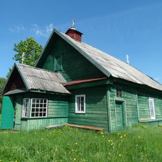
Old Believers Church in Mikalavas
8.3 km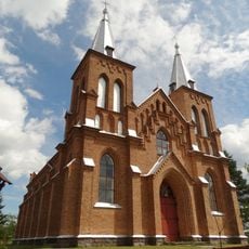
Church of St. Stanislaus the Bishop, Kazitiškis
8.4 km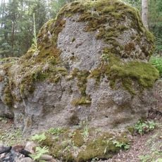
Antakmene conglomerate
7.4 km
Trainiškio ąžuolas
10.7 km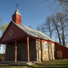
Church of the Sacred Heart of Jesus in Paringys
10.6 km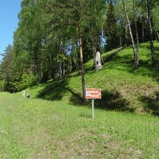
Mažulonys hillfort
8.2 km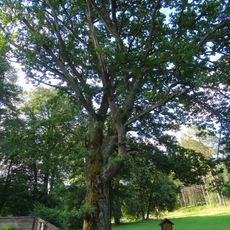
Palūšės ąžuolas
8.6 km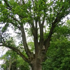
Kazitiškio ąžuolas
8.2 km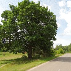
Vaišniūnų ąžuolas
7.2 km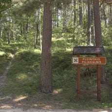
Puziniškis hillfort
12.6 km
Rupinskų pušis
7.6 km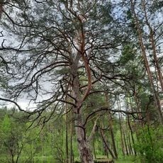
Asalnai pine
9.8 km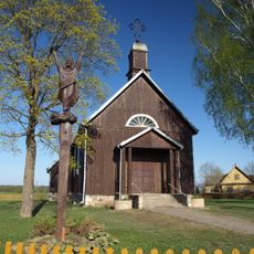
Church of St. John the Baptist, Kačergiškė
13.1 km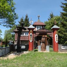
Jukiškės Chapel
13.9 km
Grybėnai chapel
10.9 km
Gedžiūnėlių pilkapynas
10.6 km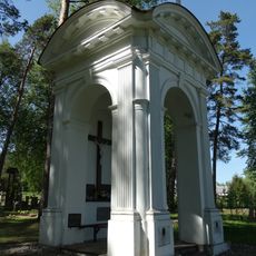
Zuikos chapel
8.8 km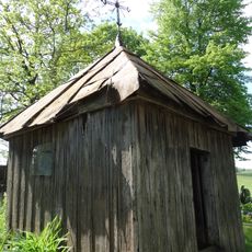
Chapel in Vasiuliai
6.5 km
Kopiec w Meletylcach
12.1 km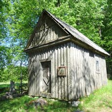
Chapel in Senasis Daugėliškis
5.8 kmHeeft u deze plek bezocht? Tik op de sterren om een beoordeling te geven en uw ervaring of foto's te delen met de community! Probeer het nu! U kunt het op elk moment annuleren.
Ontdek verborgen schatten op elk avontuur!
Van karakteristieke kleine cafeetjes tot geheime uitzichtpunten – ontvlucht de drukte en vind plekken die echt bij jou passen. Onze app maakt het makkelijk: spraakzoekopdrachten, slimme filters, geoptimaliseerde routes en authentieke tips van reizigers wereldwijd. Download nu en beleef het avontuur op je smartphone!

Een nieuwe benadering van toeristische ontdekking❞
— Le Figaro
Alle plekken die de moeite waard zijn om te ontdekken❞
— France Info
Een uitstapje op maat in slechts een paar klikken❞
— 20 Minutes