
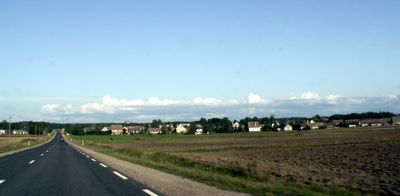
Ukrinai, dorp in Litouwen
Locatie: Mažeikiai District Municipality
Hoogte boven de zeespiegel: 64 m
GPS-coördinaten: 56.30000,22.10000
Laatste update: 5 maart 2025 om 02:00
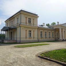
Renavas Manor
8.5 km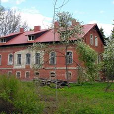
Dautarai Manor
11 km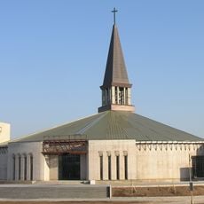
Church of St. Francis of Assisi, Mažeikiai
14.8 km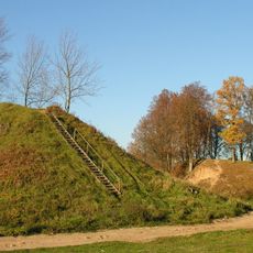
Daubariai hillfort
12.6 km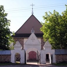
Church of St. John the Baptist, Židikai
5.8 km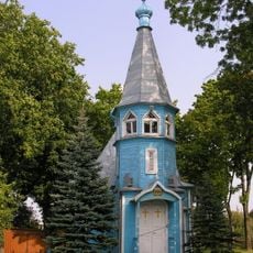
Orthodox church in Mažeikiai
14.6 km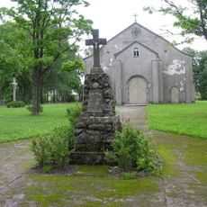
Church of St. Isidore, Renavas
8.1 km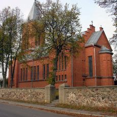
Church in Tirkšliai
13.3 km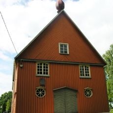
Church of St. Anthony of Padua, Ukrinai
706 m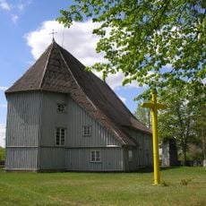
Church of the Holy Trinity, Pikeliai
13.2 km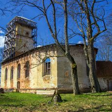
Lutheran church in Grieze
14.7 km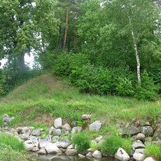
Griežė hillfort
14.3 km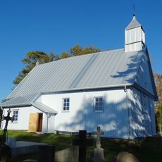
Chapel in Grūstė
12 km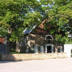
Church of the Annunciation, Žemalė
5.6 km
Rimoliai hillfort
12.8 km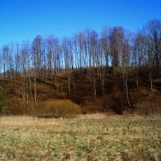
Vadagių piliakalnis
3.8 km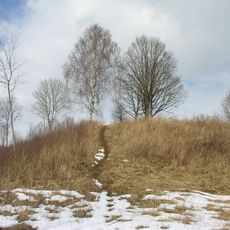
Jautakių piliakalnis
9.9 km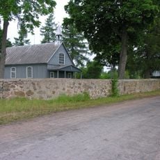
Church of Saint Lawrence, Leckava
13.5 km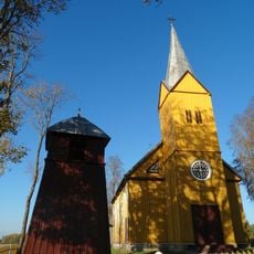
Church of St. Anne, Vaičaičiai
12.3 km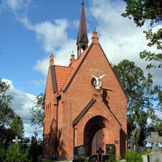
Chapel in Židikai
7.1 km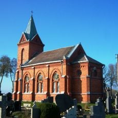
Chapel in Ylakiai
14.3 km
Griežės II piliakalnis
14.3 km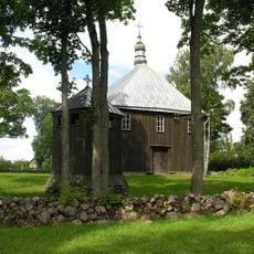
Chapel of Saint Anne in Geidžiai
9.5 km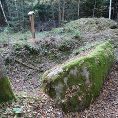
Vizgaudziai boulder "The Coffin"
12.7 km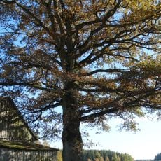
Margininkų ąžuolas
9.4 km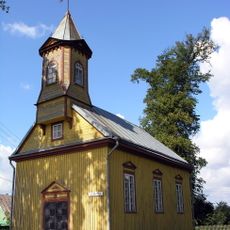
Church of St. John of Nepomuk, Seda
14.7 km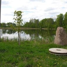
Obeliškių tvenkinys
4.8 km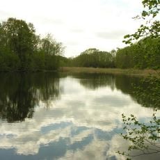
Ritinės II tvenkinys
11 kmHeeft u deze plek bezocht? Tik op de sterren om een beoordeling te geven en uw ervaring of foto's te delen met de community! Probeer het nu! U kunt het op elk moment annuleren.
Ontdek verborgen schatten op elk avontuur!
Van karakteristieke kleine cafeetjes tot geheime uitzichtpunten – ontvlucht de drukte en vind plekken die echt bij jou passen. Onze app maakt het makkelijk: spraakzoekopdrachten, slimme filters, geoptimaliseerde routes en authentieke tips van reizigers wereldwijd. Download nu en beleef het avontuur op je smartphone!

Een nieuwe benadering van toeristische ontdekking❞
— Le Figaro
Alle plekken die de moeite waard zijn om te ontdekken❞
— France Info
Een uitstapje op maat in slechts een paar klikken❞
— 20 Minutes