Black Farm, human settlement in Rhode Island, United States of America
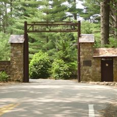
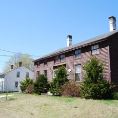
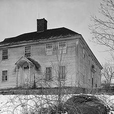
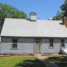
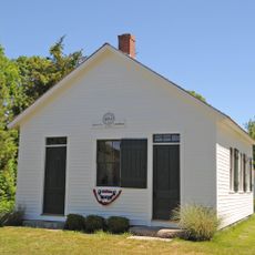
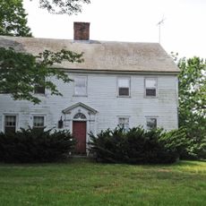
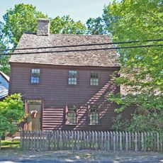
Black Farm, ook bekend als Isaac Collins Farm, is een historische eigendom in Hopkinton, Rhode Island, met gebouwen uit verschillende perioden en behouden open land. Het hoofdhuis dateert uit de late jaren 1700 en bevat verschillende bijgebouwen uit de 19e eeuw zoals schuren en een graansilo, samen met de overblijfselen van een ijskelder die uit granieten blokken is gebouwd.
John Collins begon het land rond 1710 te bewerken, en zijn zoon Isaac Collins ontving later een groot deel dat bekend werd als Black Farm. Het pand werd in 1991 door Rhode Island gekocht om het historische karakter te behouden en in 1995 ingeschreven in het National Register of Historic Places.
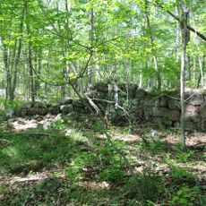
De boerderij was voor generaties de economische basis voor families die hier leefden en werkten, en bepaalde de agrarische levenswijze van de streek. Vandaag de dag kunnen bezoekers nog steeds de oude stenen muren en gebouwen zien die dit werk weerspiegelen en hoe landbouw de gemeenschap vormde.
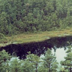
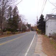
De eigendom is gemakkelijk te voet af met vlakke paden die door velden en bossen slingeren, geschikt voor alle niveaus. Bezoekers moeten zich voorbereiden op insecten zoals muggen en beschermende maatregelen nemen, vooral in de warmere maanden.
De locatie bevat het graf van Charles Collins, een jongen van slechts 15 jaar oud die stierf in de Burgeroorlog en in het bos werd begraven. Bezoekers kunnen ook oude spoorbielzen zien die nog steeds tussen de bomen vergaan, overblijfselen van de voormalige spoorlijn die ooit het gebied doorkruiste.
De community van nieuwsgierige reizigers
AroundUs brengt duizenden geselecteerde plaatsen, lokale tips en verborgen pareltjes samen, dagelijks verrijkt door meer dan 60,000 bijdragers wereldwijd.