
Wilton, Iowa
Locatie: Iowa
Ontstaan: 1855
Hoogte boven de zeespiegel: 207 m
Website: http://www.wiltoniowa.org/
Website: http://wiltoniowa.org
GPS-coördinaten: 41.58944,-91.01750
Laatste update: 2 april 2025 om 15:09
Wildcat Den State Park
17.5 km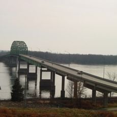
Norbert F. Beckey Bridge
18.6 km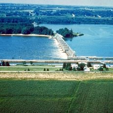
Lock and Dam No. 16
18.1 km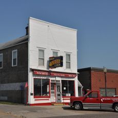
Wilton Candy Kitchen
198 m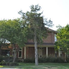
Sinnett Octagon House
15.2 km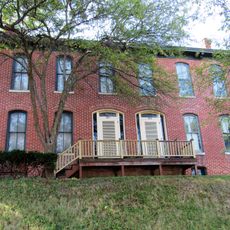
Alexander Clark House
18.9 km
Muscatine County Courthouse
18.5 km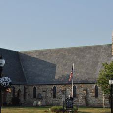
Trinity Episcopal Church
18.6 km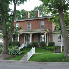
Pliny and Adelia Fay House
19.3 km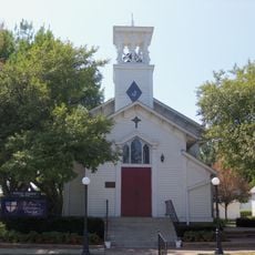
St. Paul's Episcopal Church
8.8 km
Pine Mills German Methodist Episcopal Church
16.6 km
W. Joseph Fuller House
17.9 km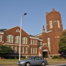
First Presbyterian Church
18.7 km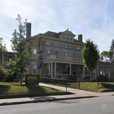
Laura Musser McColm Historic District
17.7 km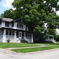
Fair Oaks Historic District
17 km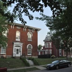
West Hill Historic District
19.1 km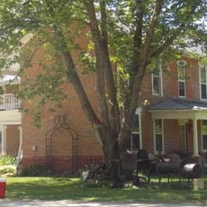
William Green House
15.2 km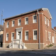
Old Jail
17.9 km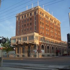
Downtown Commercial Historic District
18.6 km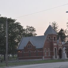
Greenwood Cemetery Chapel
19.3 km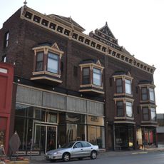
Welch Apartments
18.8 km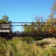
Pine Mill Bridge
18.5 km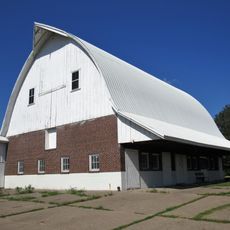
Muscatine County Home Dairy Barn
18.2 km
S. M. McKibben House
18.7 km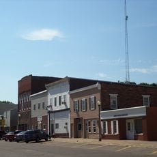
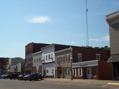
Wilton Commercial Historic District
89 m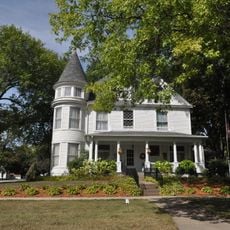
Henry E. and Ella M. Nicolaus House
279 m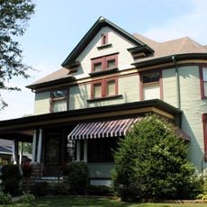
Doctor Alexander R. and Louisa J. Leith House
279 m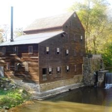
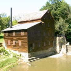
Pine Creek Gristmill
18.5 kmBeoordelingen
Heeft u deze plek bezocht? Tik op de sterren om een beoordeling te geven en uw ervaring of foto's te delen met de community! Probeer het nu! U kunt het op elk moment annuleren.
Ontdek verborgen schatten op elk avontuur!
Van karakteristieke kleine cafeetjes tot geheime uitzichtpunten – ontvlucht de drukte en vind plekken die echt bij jou passen. Onze app maakt het makkelijk: spraakzoekopdrachten, slimme filters, geoptimaliseerde routes en authentieke tips van reizigers wereldwijd. Download nu en beleef het avontuur op je smartphone!

Een nieuwe benadering van toeristische ontdekking❞
— Le Figaro
Alle plekken die de moeite waard zijn om te ontdekken❞
— France Info
Een uitstapje op maat in slechts een paar klikken❞
— 20 Minutes