
Mount Arayat National Park, natuurgebied in Central Luzon, Filipijnen
Locatie: Central Luzon
Locatie: Pampanga
Locatie: Arayat
Ontstaan: 16 september 1937
GPS-coördinaten: 15.20000,120.74200
Laatste update: 13 maart 2025 om 03:29
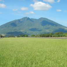
Mount Arayat
187 m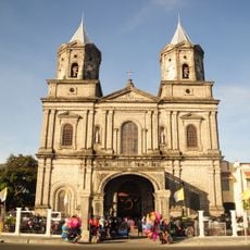
Angeles Church
17.9 km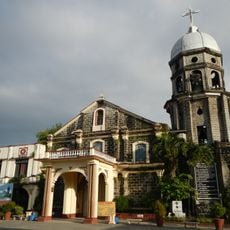
San Andres Apostol Church
15.2 km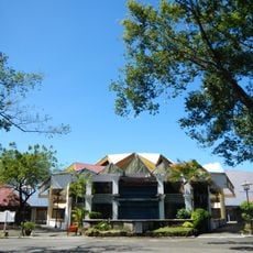
Paskuhan Village
17.5 km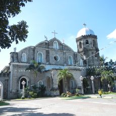
Magalang Church
9 km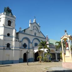
Santa Catalina Parish Church
6.4 km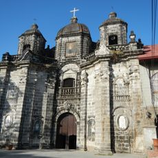
San Luis Gonzaga Parish Church
18.6 km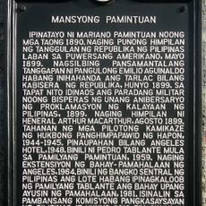
Pamintuan Mansion historical marker
17.7 km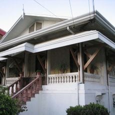
Cuyugan-Dayrit House
19.2 km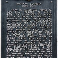
Mariano Llanera historical marker
14 km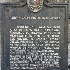
House of Angel Pantaleon de Miranda historical marker
17.9 km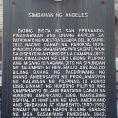
Church of Angeles historical marker
17.8 km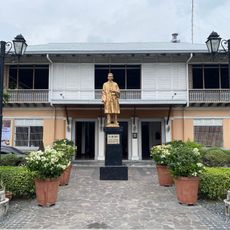
Museum of Angeles City
17.8 km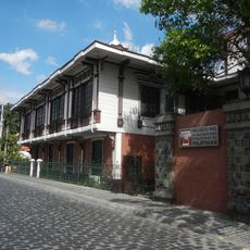
Pamintuan Mansion
17.7 km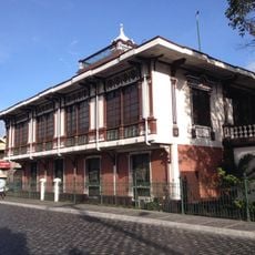
Pamintuan Mansion
17.7 km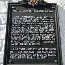
The House of the Aquino Family historical marker
16.6 km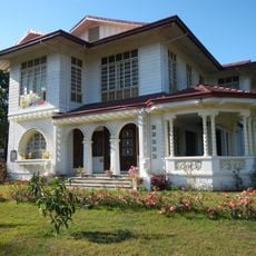
Aquino Ancestral House
16.6 km
Pampanga High School historical marker
19.7 km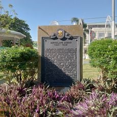
Servillano Aquino historical marker
16.7 km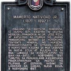
Mamerto Natividad Jr. historical marker
14 km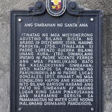
The Church of Santa Ana historical marker
12 km
Museum of Philippine Social History
17.7 km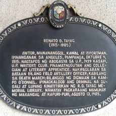
Renato D. Tayag historical marker
17.8 km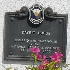
Dayrit House historical marker
19.3 km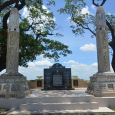
Artillery Memorial historical marker
18.1 km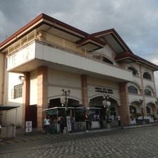
Angeles City Library and Information Center
17.8 km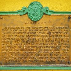
Magalang historical marker
8.9 km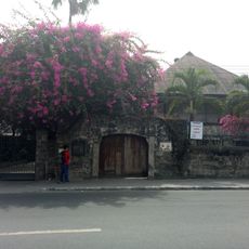
Angel Pantaleon de Miranda House
17.9 kmHeeft u deze plek bezocht? Tik op de sterren om een beoordeling te geven en uw ervaring of foto's te delen met de community! Probeer het nu! U kunt het op elk moment annuleren.
Ontdek verborgen schatten op elk avontuur!
Van karakteristieke kleine cafeetjes tot geheime uitzichtpunten – ontvlucht de drukte en vind plekken die echt bij jou passen. Onze app maakt het makkelijk: spraakzoekopdrachten, slimme filters, geoptimaliseerde routes en authentieke tips van reizigers wereldwijd. Download nu en beleef het avontuur op je smartphone!

Een nieuwe benadering van toeristische ontdekking❞
— Le Figaro
Alle plekken die de moeite waard zijn om te ontdekken❞
— France Info
Een uitstapje op maat in slechts een paar klikken❞
— 20 Minutes