
Mount Matutum Protected Landscape, natuurgebied in de Filipijnen
Locatie: Autonomous Region in Muslim Mindanao
Locatie: South Cotabato
Ontstaan: 20 maart 1995
GPS-coördinaten: 6.36667,125.08333
Laatste update: 15 april 2025 om 07:58

Mount Apo
72.1 km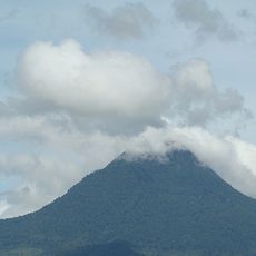
Mount Matutum
1.1 km
Fort Pikit
89.4 km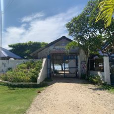
Isla Reta Beach Resort
94.7 km
Mount Apo Natural Park
72.7 km
D' Bone Collector Museum
96.9 km
Museo Dabawenyo
95.2 km
Pacman Beach Resort Complex
50.7 km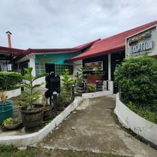
Coco Beach Resort
65.6 km
Fuerte de Reina Regente
96.4 km
Burial Site of the Seventeen Filipino Martyrs of Koronadal historical marker
30.5 km
Mount Parker
35.3 km
Davao City Hall historical marker
97 km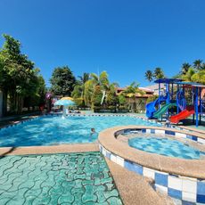
Princess del Leonor Hotel Resort and Convention Center
61 km
Gen. Paulino Santos historical marker
30 km
Andres Bonifacio historical marker
85.8 km
Pasol Mo
95.2 km
Ohta Kyozaburo historical marker
93.2 km
Museyo Kutawato
78.4 km
KCC Cinema
29.6 km
Crystal Island Beach Resort
64.6 km
Brod Louie Beach Resort
64.2 km
Koronadal Cathedral
30.4 km
Kikay Beach Resort
56 km
Datu Paglas Municipal Hall
48.4 km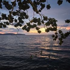
Butal Beach
56.5 km
Sea Front Beach Resort
58.3 km
Beach View
57.6 kmBeoordelingen
Heeft u deze plek bezocht? Tik op de sterren om een beoordeling te geven en uw ervaring of foto's te delen met de community! Probeer het nu! U kunt het op elk moment annuleren.
Ontdek verborgen schatten op elk avontuur!
Van karakteristieke kleine cafeetjes tot geheime uitzichtpunten – ontvlucht de drukte en vind plekken die echt bij jou passen. Onze app maakt het makkelijk: spraakzoekopdrachten, slimme filters, geoptimaliseerde routes en authentieke tips van reizigers wereldwijd. Download nu en beleef het avontuur op je smartphone!

Een nieuwe benadering van toeristische ontdekking❞
— Le Figaro
Alle plekken die de moeite waard zijn om te ontdekken❞
— France Info
Een uitstapje op maat in slechts een paar klikken❞
— 20 Minutes