
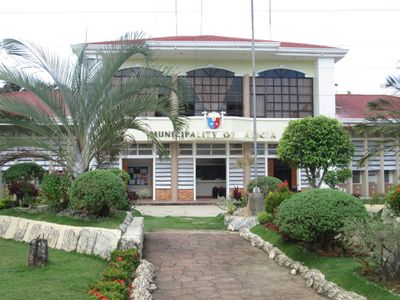
Alicia, gemeente in de Filipijnse provincie Bohol
Locatie: Bohol
Ontstaan: 18 januari 1950
Hoogte boven de zeespiegel: 84 m
Grenst aan: Ubay, Pilar
Website: http://alicia-bohol.gov.ph
GPS-coördinaten: 9.89571,124.44152
Laatste update: 19 maart 2025 om 07:35
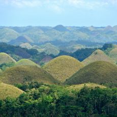
Chocolate Hills
30.2 km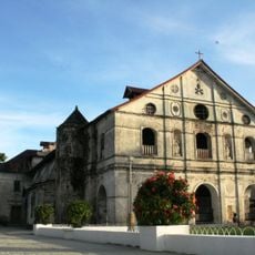
Loboc Church
53.5 km
Maasin Cathedral
50.8 km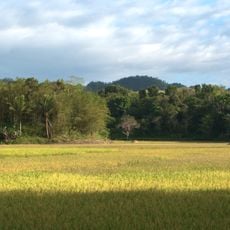
Rajah Sikatuna Protected Landscape
30.6 km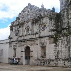
Talibon Cathedral
31.1 km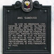
The Blood Compact historical marker
58.3 km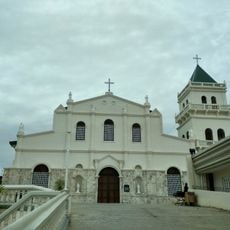
Tubigon Church
52.8 km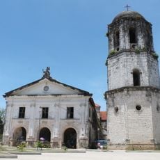
Loay Church
57.4 km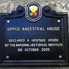
Oppus Ancestral House historical marker
51.2 km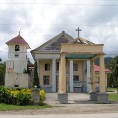
Immaculate Conception Parish Church
21.3 km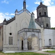
Inabanga Church
43.5 km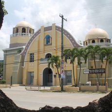
Jagna Church
28.2 km
Amun Ini Beach Resort & Spa
21 km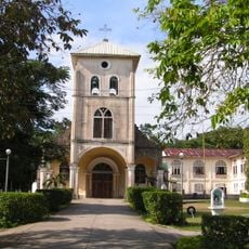
Balilihan Church
53.7 km
Sagbayan Peak Park
40.5 km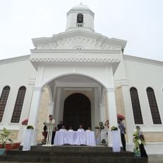
Carmen Church
27.7 km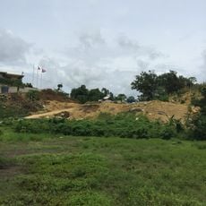
Sikatuna’s Mirror of the World and Botanical Garden
57 km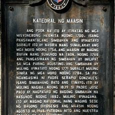
Cathedral of Maasin historical marker
50.9 km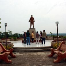
Dagohoy Monument
29.1 km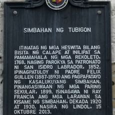
Church of Tubigon historical marker
52.8 km
Sevilla Twin Hanging Bridge
49.7 km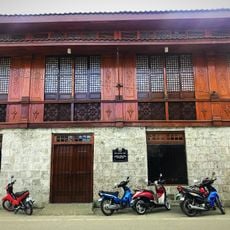
Oppus House
51.2 km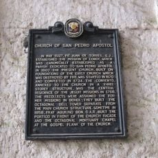
Church of San Pedro Apostol historical marker
53.4 km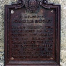
In Memory of Francisco Dagohoy historical marker
29.1 km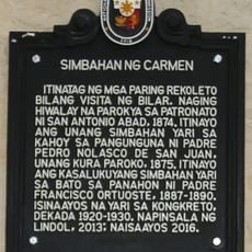
Church of Carmen historical marker
27.7 km
Balilihan Belfry
53.6 km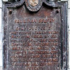
Balilihan Belfry historical marker
53.6 km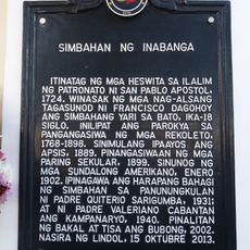
Church of Inabanga historical marker
43.5 kmHeeft u deze plek bezocht? Tik op de sterren om een beoordeling te geven en uw ervaring of foto's te delen met de community! Probeer het nu! U kunt het op elk moment annuleren.
Ontdek verborgen schatten op elk avontuur!
Van karakteristieke kleine cafeetjes tot geheime uitzichtpunten – ontvlucht de drukte en vind plekken die echt bij jou passen. Onze app maakt het makkelijk: spraakzoekopdrachten, slimme filters, geoptimaliseerde routes en authentieke tips van reizigers wereldwijd. Download nu en beleef het avontuur op je smartphone!

Een nieuwe benadering van toeristische ontdekking❞
— Le Figaro
Alle plekken die de moeite waard zijn om te ontdekken❞
— France Info
Een uitstapje op maat in slechts een paar klikken❞
— 20 Minutes