
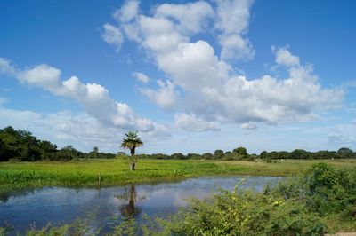
Hato Masagüaral, is the name given to a wildlife refuge, ecological center, tourist attraction and hacienda located in the Francisco de Miranda Municipality in southern Guárico State, Venezuela
Locatie: Guárico
Locatie: Municipio Francisco de Miranda
GPS-coördinaten: 8.57164,-67.58183
Laatste update: 10 maart 2025 om 18:19

Arco del triunfo de carabobo
172.1 km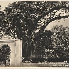
Samán de Güere
184.4 km
Aguaro-Guariquito National Park
96.5 km
Ing. Generoso Campilongo Reservoir
46.1 km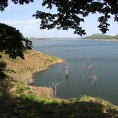
Camatagua Reservoir
153.8 km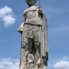
John the Baptist Monument
151.3 km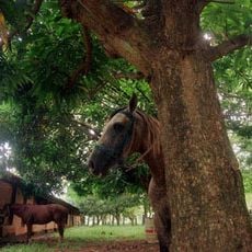
Hato Piñero
68.2 km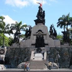
Altar de la Patria
171.9 km
Santuario de la Virgen de Betania
182 km
Güigüe Abbey
169.4 km
Casa Guipuzcoana
180.3 km
Plaza Bolívar de Calabozo
43.7 km
San Carlos Circuit
161.9 km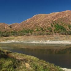
Terra Bianca Reservoir (San Juan de los Morros)
157.4 km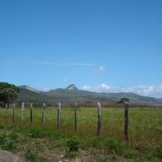
Morros de Macaira Natural Monument
177.9 km
La Blanquera
164.6 km
Hato El Frío
154.9 km
Museo Casa de los Celis
185.1 km
All Saints Cathedral
43.8 km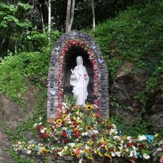
Marian apparitions of Betania
182 km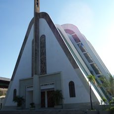
Cathedral of Our Lady of Mount Carmel
76.5 km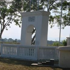
Arco de Taguanes
170.1 km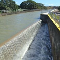
Sistema de riego del río Guárico
33.2 km
Picacho de Turmero
184.8 km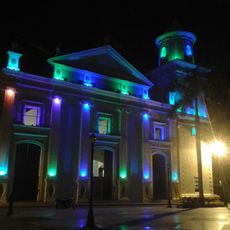
Cathedral of the Immaculate Conception
164.3 km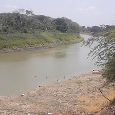
El Socorro de Portuguesa
44.5 km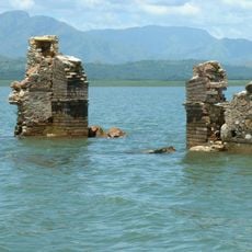
San Francisco de Cara church
153.3 km
Topo Cataurito
166 kmHeeft u deze plek bezocht? Tik op de sterren om een beoordeling te geven en uw ervaring of foto's te delen met de community! Probeer het nu! U kunt het op elk moment annuleren.
Ontdek verborgen schatten op elk avontuur!
Van karakteristieke kleine cafeetjes tot geheime uitzichtpunten – ontvlucht de drukte en vind plekken die echt bij jou passen. Onze app maakt het makkelijk: spraakzoekopdrachten, slimme filters, geoptimaliseerde routes en authentieke tips van reizigers wereldwijd. Download nu en beleef het avontuur op je smartphone!

Een nieuwe benadering van toeristische ontdekking❞
— Le Figaro
Alle plekken die de moeite waard zijn om te ontdekken❞
— France Info
Een uitstapje op maat in slechts een paar klikken❞
— 20 Minutes