
Cape Vincent Light, vuurtoren in New York, Verenigde Staten van Amerika
Locatie: Jefferson County
Ontstaan: 1901
GPS-coördinaten: 44.11940,-76.33220
Laatste update: 8 maart 2025 om 17:47

CFB Kingston
16.3 km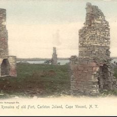
Carleton Island
7.5 km
Fort Henry
16 km
Kingston Royal Naval Dockyard
16.3 km
HMCS Stone Frigate
16.3 km
Currie Hall
16.4 km
Fort Frederick
16.3 km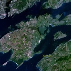
Garden Eiland
14 km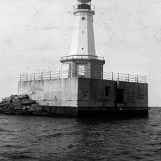
East Charity Shoal Light
15 km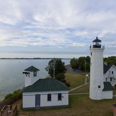
Tibbetts Point Light
3.7 km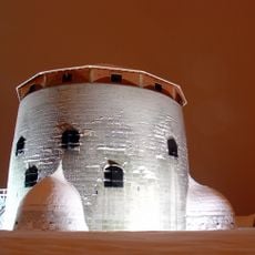
Royal Military College of Canada Museum
16.3 km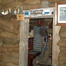
Military Communications and Electronics Museum
16.1 km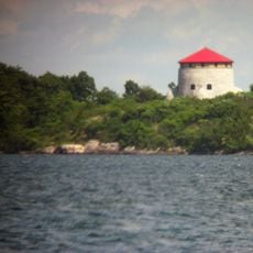
Cathcart Tower
15.3 km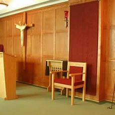
Royal Military College of Canada chapels
16.3 km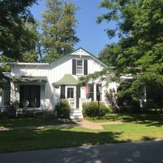
James Buckley House
896 m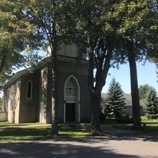
St. Vincent of Paul Catholic Church
839 m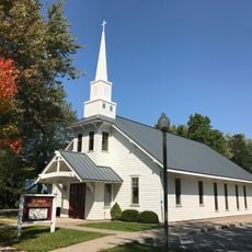
St. John's Episcopal Church
679 m
Vincent LeRay House
1.1 km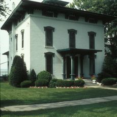
E. K. Burnham House
1.1 km
John Borland House
884 m
Cornelius Sacket House
1.1 km
Otis Starkey House
839 m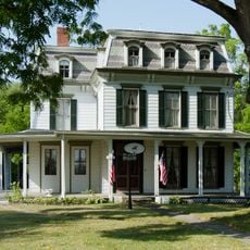
General Sacket House
267 m
Duvillard Mill
1.2 km
Big Sandy Bay Management Area
8.9 km
Mackenzie Building
16.4 km
Fort Frederick Martello Tower
16.3 km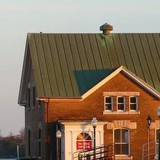
Gymnasium of the Royal Military College of Canada
16.3 kmHeeft u deze plek bezocht? Tik op de sterren om een beoordeling te geven en uw ervaring of foto's te delen met de community! Probeer het nu! U kunt het op elk moment annuleren.
Ontdek verborgen schatten op elk avontuur!
Van karakteristieke kleine cafeetjes tot geheime uitzichtpunten – ontvlucht de drukte en vind plekken die echt bij jou passen. Onze app maakt het makkelijk: spraakzoekopdrachten, slimme filters, geoptimaliseerde routes en authentieke tips van reizigers wereldwijd. Download nu en beleef het avontuur op je smartphone!

Een nieuwe benadering van toeristische ontdekking❞
— Le Figaro
Alle plekken die de moeite waard zijn om te ontdekken❞
— France Info
Een uitstapje op maat in slechts een paar klikken❞
— 20 Minutes